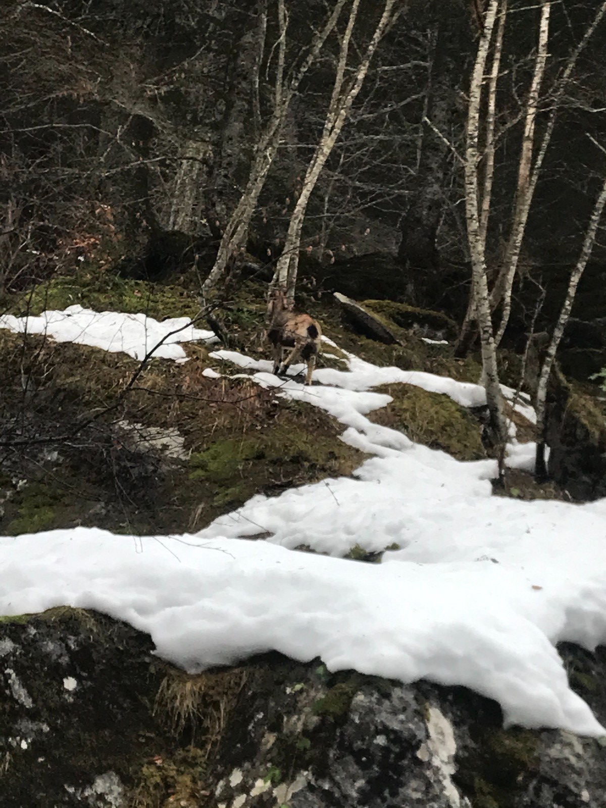
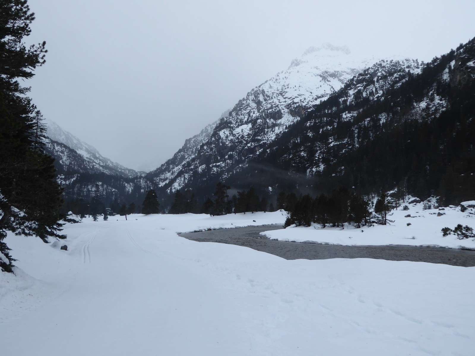
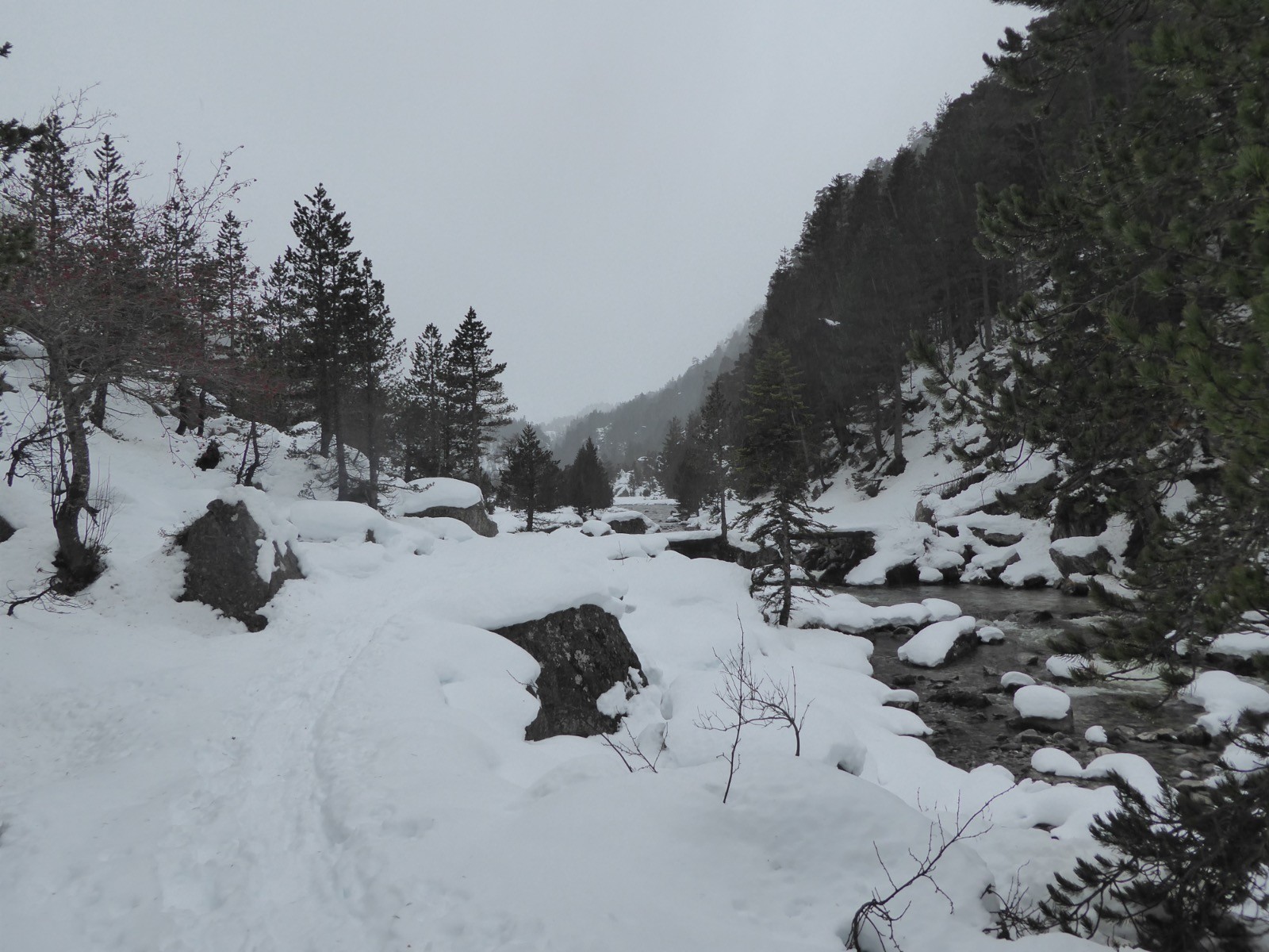
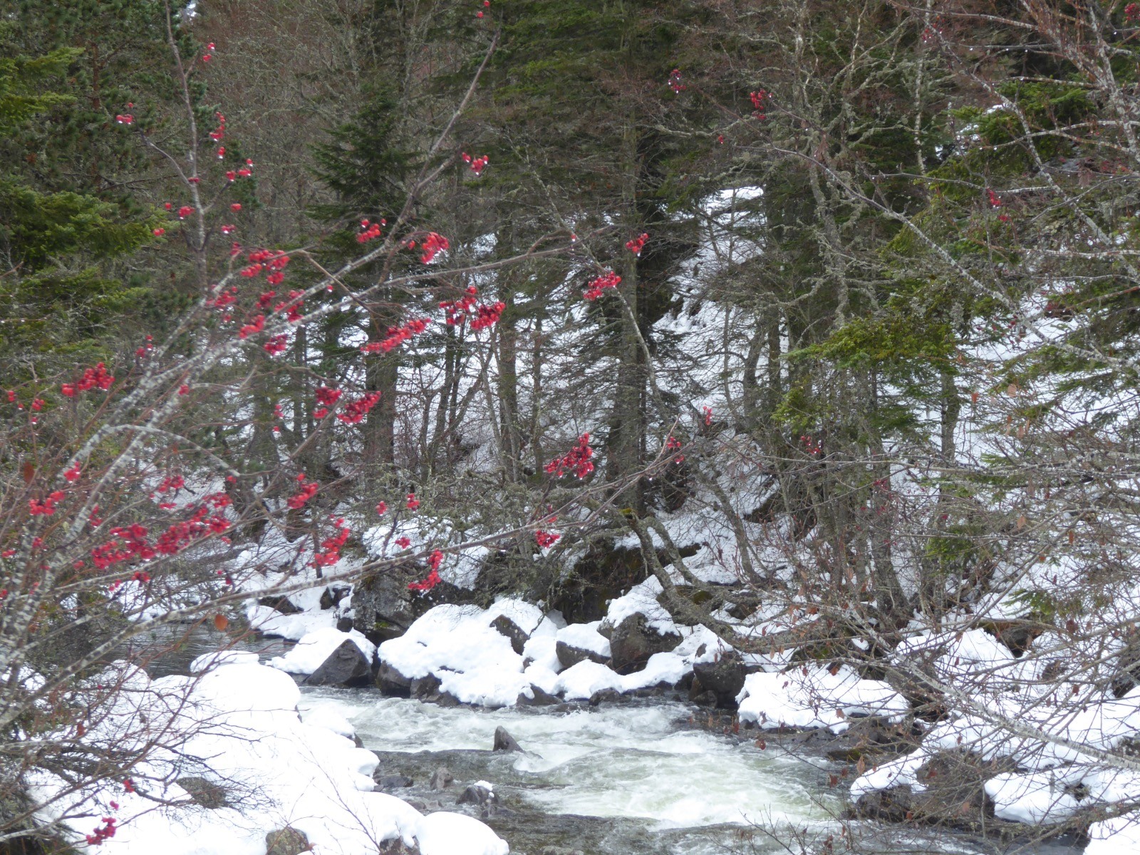
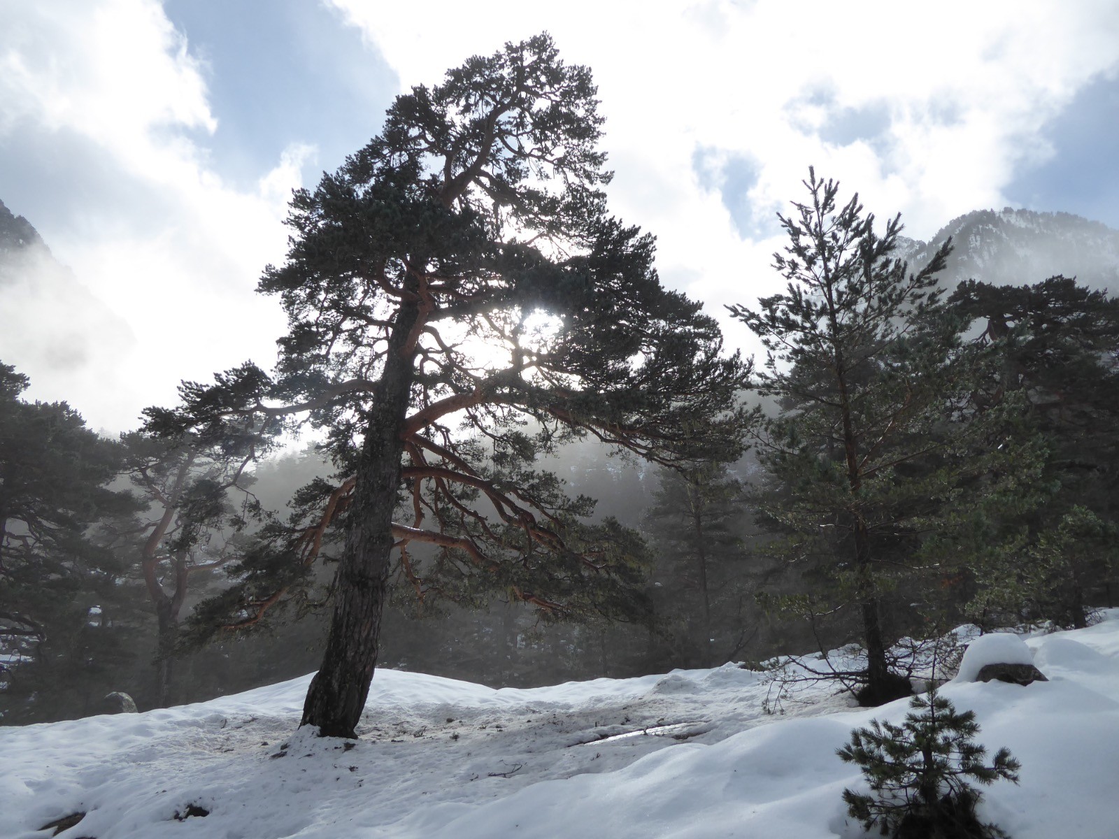
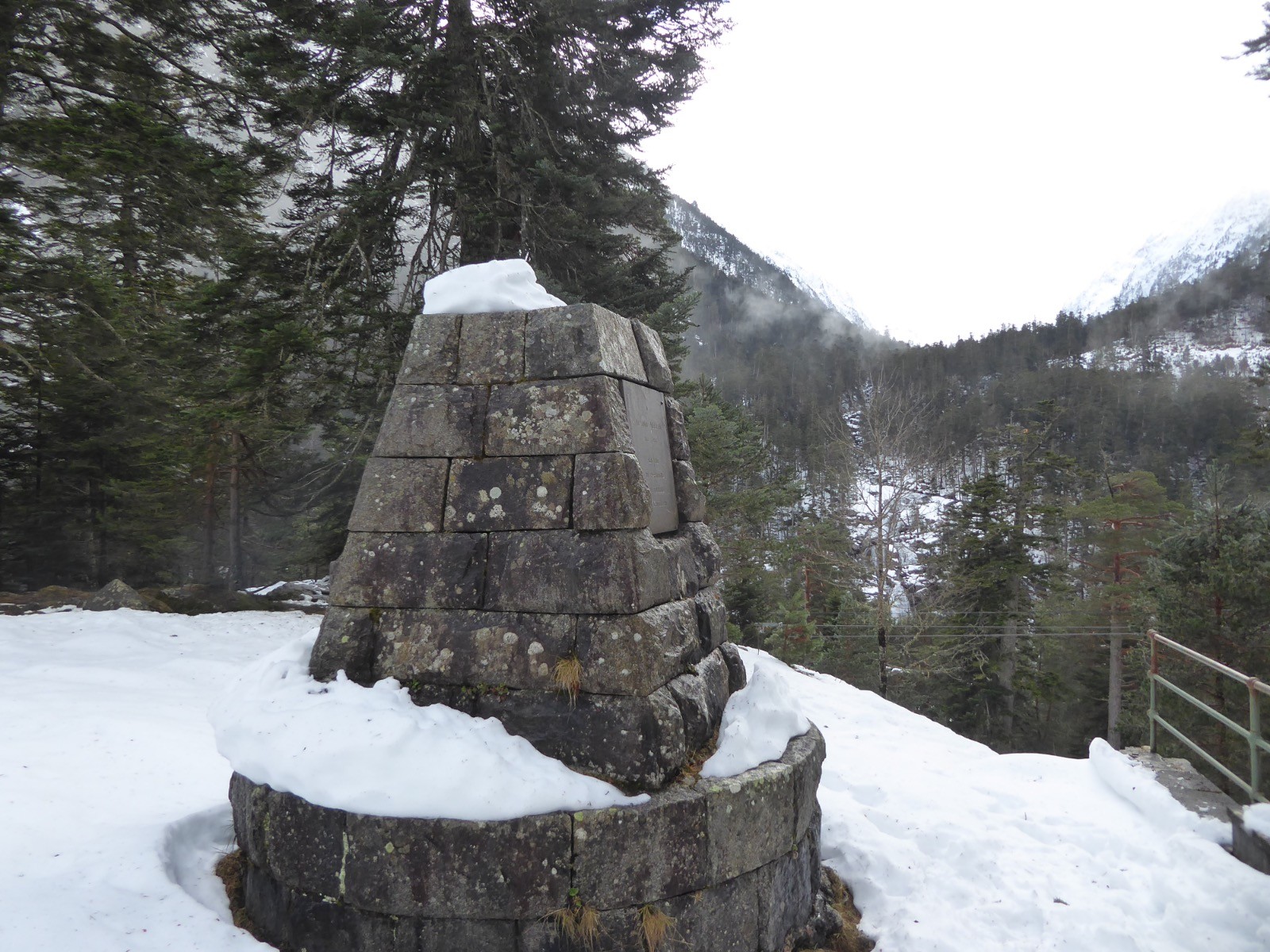
Première sortie raquettes.... la fenêtre météo ne s'est pas déroulée comme prévu. Un peu de ciel bleu en arrivant puis... la pluie, certes fine mais pendant longtemps, une neige mouillée et la neige seulement à 1700m . Première sortie qui nous a permis de nous remettre en marche pour l'hiver . Quelques jeunes isards sur le bord de la route en montant cependant .
 Actions
11.3 km

+274 m
/-274 m
03:24

Cliquez pour activer


Cliquez et déplacez la souris sur le profil pour analyser un tronçon (2 doigts sur mobile)
 Photos
Commentaires
Pas encore de commentaire, connectez-vous pour en ajouter un.
Connectez-vous pour ajouter un commentaire
Longueur et nombre de points

11.34 km

316 pts
Denivelé et altitude
Calculés avec un seuil de 10 mètres et un lissage sur 5 points

273 m

275 m

1723 m

1463 m

1595 m
Date et durée

15 décembre 2020
09:14

15 décembre 2020
13:41

04:27:00

03:24:21

01:02:39
Vitesses et denivelés horaires

3.3 km/h
Détail »

6.8 km/h
au km 10.6

199 m/h
1h11m17s

-300 m/h
0h46m32s
| km | Temps | Vitesse | Pause |
|---|
| 1 | 21'16" | 2.8 km/h | 05'09" |
| 2 | 14'22" | 4.2 km/h | |
| 3 | 13'23" | 4.5 km/h | 05'26" |
| 4 | 13'19" | 4.5 km/h | 07'53" |
| 5 | 22'47" | 2.6 km/h | |
| 6 | 20'21" | 2.9 km/h | |
| 7 | 20'21" | 2.9 km/h | |
| 8 | 13'51" | 4.3 km/h | 09'44" |
| 9 | 16'58" | 3.5 km/h | |
| 10 | 13'28" | 4.5 km/h | |
| 11 | 26'52" | 2.2 km/h | 26'21" |
Dépense calorique (estimation)

403 Cal
118 Cal/h
Plus

Affichée 597 fois et téléchargée 39 fois depuis le 15.12.20 19:19
Carte + Profil [Afficher un aperçu]
<iframe src="https://www.visugpx.com/gz3Li47yxd?iframe" allowfullscreen style="border: 0;width: 100%; height: 540px;" loading="lazy" scrolling="no"></iframe>
Carte uniquement [Afficher un aperçu]
<iframe src="https://www.visugpx.com/gz3Li47yxd?iframe&maponly" allowfullscreen style="border: 0;width: 100%; height: 540px;" loading="lazy" scrolling="no"></iframe>


 ForumsToposLes plus belles randosSegments
 Offre Premium
 Connexion


 59
59 107
107 34 [Légende]


