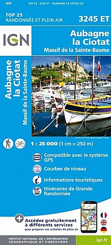
Départ 9h du Mugel (RV à 8H45)
Dépose des voitures à Port Miou à 8h15 (arrivée) avec sacs de change
Distance : 18km dont 4 km natation environ
Durée : 6 à 7h
Terrain CàP très technique (marche) dénivelé 1000 m+ environ
Un saut non obligatoire, deux psicobloc non obligatoire
repas tiré du sac (type boulghour, noix cajous etc.. conditionnement bjorg), 1,5 l par personne minimum
Matériel obligatoire : 1 bouée + longe / binôme, sifflet
 Actions
15 km

+325 m/-310 m

Cliquez pour activer

Cliquez et déplacez la souris sur le profil pour analyser un tronçon (2 doigts sur mobile)
Commentaires
Pas encore de commentaire, connectez-vous pour en ajouter un.
Connectez-vous pour ajouter un commentaire
Longueur et nombre de points

15.11 km

156 pts
Denivelé et altitude
Calculés avec un seuil de 10 mètres et un lissage sur 3 points (corrigé car densité de points faible)

324 m

310 m

97 m

6 m

27 m
Plus

Affichée 329 fois et téléchargée 2 fois depuis le 24.10.19 14:58
Carte + Profil [Afficher un aperçu]
<iframe src="https://www.visugpx.com/ODQ22zHbs1?iframe" allowfullscreen style="border: 0;width: 100%; height: 540px;" scrolling="no"></iframe>
Carte uniquement [Afficher un aperçu]
<iframe src="https://www.visugpx.com/ODQ22zHbs1?iframe&maponly" allowfullscreen style="border: 0;width: 100%; height: 540px;" scrolling="no"></iframe>

Nous avons pris en compte votre choix.
Vous souhaitez maîtriser les informations qui peuvent être recueillies lors de votre navigation et avez refusé les cookies de personnalisation des annonces, c'est légitime.
Parce que le service fourni par VisuGPX a un coût, accepteriez-vous quand même que nous utilisions des cookies pour vous présenter des annonces non personnalisées ? Ces cookies ne sont pas des cookies de tracking mais de simples des cookies techniques de diffusion qui garantissent le respect votre vie privée.


 Actions
  15 km
15 km +325 m/-310 m
 Cliquez et déplacez la souris sur le profil pour analyser un tronçon (2 doigts sur mobile)
 66
66 125
125 55 [Légende]
 Pour soutenir VisuGPX, faites le bon choix