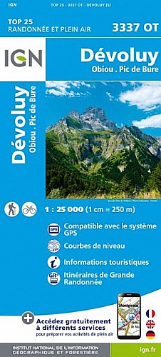
Départ parking au bas de la cabane de l'Avalanche 1532m.
Montée par la Combe puis le vallon de Corne (Combe Ratin) jusqu'au Denflairar et le collet entre le Corne et le Plate Longe Coste Belle.
Ascension des sommets du Corne (sud 2109m et Est 2111m (sommet principal) ).
Descente par la combe entre le Corne et le Plate Longe Coste Belle.
Approche de la bergerie, puis descente directe dans le Bois Rond.
 Actions
7 km

+618 m/-622 m

03:15

Cliquez pour activer


Cliquez et déplacez la souris sur le profil pour analyser un tronçon (2 doigts sur mobile)
Détails
voir rando 
Commentaires
Pas encore de commentaire, connectez-vous pour en ajouter un.
Connectez-vous pour ajouter un commentaire
Longueur et nombre de points

6.96 km

816 pts
Denivelé et altitude
Calculés avec un seuil de 10 mètres et un lissage sur 5 points

617 m

623 m

2098 m

1529 m

1806 m
Date et durée

24 août 2020
08:38

24 août 2020
12:04

03:26:06

03:07:53

00:18:13
Vitesses et denivelés horaires

2.2 km/h
Détail »

4.9 km/h
au km 0.3

379 m/h
1h28m42s

-449 m/h
1h14m21s
| km | Temps | Vitesse | Pause |
|---|
| 1 | 18'25" | 3.3 km/h | |
| 2 | 20'24" | 2.9 km/h | |
| 3 | 34'13" | 1.8 km/h | |
| 4 | 32'59" | 1.8 km/h | 17'09" |
| 5 | 32'29" | 1.8 km/h | |
| 6 | 27'22" | 2.2 km/h | |
Dépense calorique (estimation)

489 Cal
156 Cal/h
Plus

Affichée 505 fois et téléchargée 17 fois depuis le 24.08.20 22:19
Carte + Profil [Afficher un aperçu]
<iframe src="https://www.visugpx.com/F7JtLO7xMA?iframe" allowfullscreen style="border: 0;width: 100%; height: 540px;" scrolling="no"></iframe>
Carte uniquement [Afficher un aperçu]
<iframe src="https://www.visugpx.com/F7JtLO7xMA?iframe&maponly" allowfullscreen style="border: 0;width: 100%; height: 540px;" scrolling="no"></iframe>

Nous avons pris en compte votre choix.
Vous souhaitez maîtriser les informations qui peuvent être recueillies lors de votre navigation et avez refusé les cookies de personnalisation des annonces, c'est légitime.
Parce que le service fourni par VisuGPX a un coût, accepteriez-vous quand même que nous utilisions des cookies pour vous présenter des annonces non personnalisées ? Ces cookies ne sont pas des cookies de tracking mais de simples des cookies techniques de diffusion qui garantissent le respect votre vie privée.


 Actions
  7 km
7 km +618 m/-622 m
 03:15
03:15

 Cliquez et déplacez la souris sur le profil pour analyser un tronçon (2 doigts sur mobile)

 84
84 193
193 61 [Légende]
 Pour soutenir VisuGPX, faites le bon choix