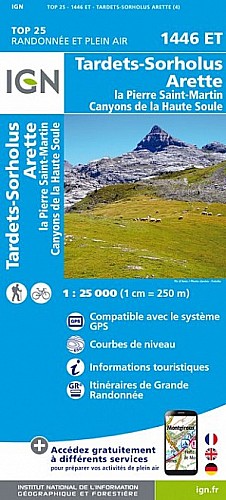
Départ de l'Abérouat, sentier balisé GR puis cairné. Dans le lapiaz plusieurs sentes cairnées, choisir celles qui vont là où on a décidé d'aller. Nous visons le Pic d'Anie avec le projet de passer à son versant ouest . On passe à coté de trous très profonds ! prudence. On passe à coté d'une croix blanche non marquée sur l'IGN et la sente rejoint le sentier venant du col des Anies. Il n'y a plus qu'a le suivre. Vue à 360 ° au sommet. Retour par le même itinéraire. (Trace approximative)
 Actions
7 km

+1114 m/-106 m

±04:30

Cliquez pour activer

Cliquez et déplacez la souris sur le profil pour analyser un tronçon (2 doigts sur mobile)
Commentaires
Pas encore de commentaire, connectez-vous pour en ajouter un.
Connectez-vous pour ajouter un commentaire
Longueur et nombre de points

6.79 km

84 pts
Denivelé et altitude
Calculés avec un seuil de 5 mètres et sans lissage

1114 m

106 m

2461 m

1440 m

1889 m
Plus

Affichée 1456 fois et téléchargée 235 fois depuis le 15.08.18 16:56
Carte + Profil [Afficher un aperçu]
<iframe src="https://www.visugpx.com/Dt1PpCBZ1p?iframe" allowfullscreen style="border: 0;width: 100%; height: 540px;" scrolling="no"></iframe>
Carte uniquement [Afficher un aperçu]
<iframe src="https://www.visugpx.com/Dt1PpCBZ1p?iframe&maponly" allowfullscreen style="border: 0;width: 100%; height: 540px;" scrolling="no"></iframe>


Nous avons pris en compte votre choix.
Vous souhaitez maîtriser les informations qui peuvent être recueillies lors de votre navigation et avez refusé les cookies de personnalisation des annonces, c'est légitime.
Parce que le service fourni par VisuGPX a un coût, accepteriez-vous quand même que nous utilisions des cookies pour vous présenter des annonces non personnalisées ? Ces cookies ne sont pas des cookies de tracking mais de simples des cookies techniques de diffusion qui garantissent le respect votre vie privée.


 Actions
  7 km
7 km +1114 m/-106 m
 ±04:30
 Cliquez et déplacez la souris sur le profil pour analyser un tronçon (2 doigts sur mobile)
 87
87 181
181 117 [Légende]


 Pour soutenir VisuGPX, faites le bon choix