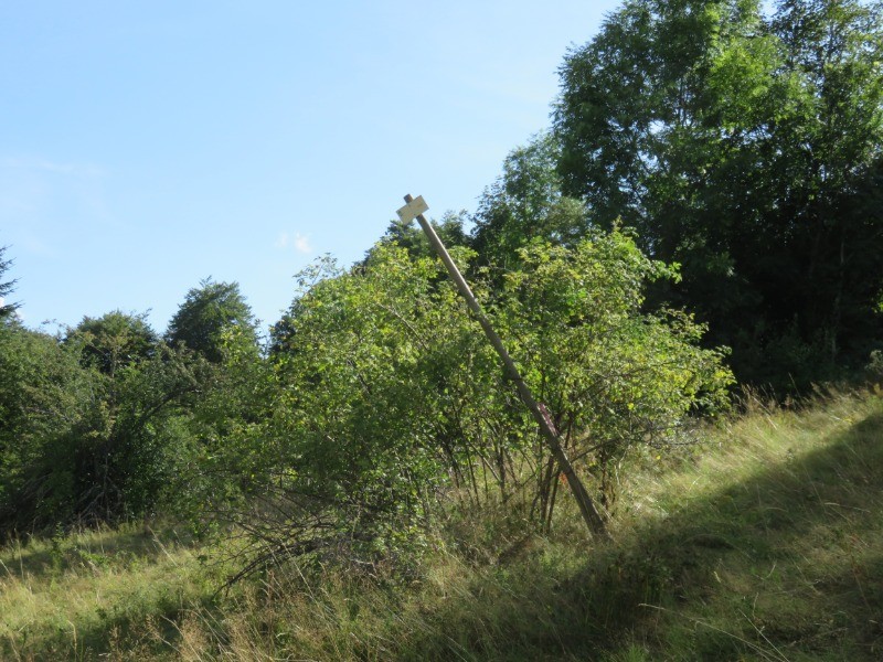
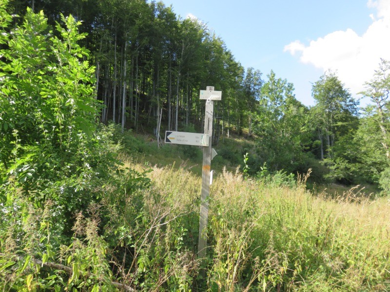
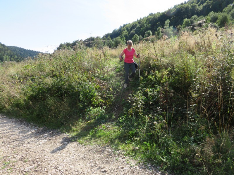
decouverte de la combe d'Evuaz,son ancienne ecole et la borne limite entre Franche-Comté et Bugey(plantée le 7 septembre 1613).Au km4ilfaut prendre un sentier sur la droite (tres peut visible);le seul point noir du parcours .suvre le PR (balises assée rares) pour arriver près du belvédère des roches d'Orvaz (petit détour )un abri forestier peut servir en cas de pluie!!!.Retour sur la Semine et La Pesse
 Actions
11.7 km

+280 m
/-286 m
08:26

Cliquez pour activer


Cliquez et déplacez la souris sur le profil pour analyser un tronçon (2 doigts sur mobile)
 Photos
Commentaires
Pas encore de commentaire, connectez-vous pour en ajouter un.
Connectez-vous pour ajouter un commentaire
Longueur et nombre de points

11.75 km

551 pts
Denivelé et altitude
Calculés avec un seuil de 10 mètres et un lissage sur 5 points

280 m

286 m

1239 m

1042 m

1158 m
Date et durée

22 août 2018
11:12

22 août 2018
20:22

09:10:00

08:26:00

00:44:00
Vitesses et denivelés horaires

1.4 km/h
Détail »

3.4 km/h
au km 2.7

108 m/h
2h21m00s

-93 m/h
2h40m00s
| km | Temps | Vitesse | Pause |
|---|
| 1 | 38'25" | 1.6 km/h | |
| 2 | 35'53" | 1.7 km/h | 02'00" |
| 3 | 38'53" | 1.5 km/h | 07'00" |
| 4 | 41'31" | 1.4 km/h | |
| 5 | 48'59" | 1.2 km/h | 08'00" |
| 6 | 42'05" | 1.4 km/h | 04'00" |
| 7 | 39'15" | 1.5 km/h | 03'00" |
| 8 | 43'02" | 1.4 km/h | |
| 9 | 43'47" | 1.4 km/h | 02'00" |
| 10 | 48'14" | 1.2 km/h | 09'00" |
| 11 | 54'42" | 1.1 km/h | 09'00" |
Dépense calorique (estimation)

190 Cal
23 Cal/h
Plus

Affichée 1182 fois et téléchargée 74 fois depuis le 07.04.20 15:25
KME
15.5 kilomètres effort
Carte + Profil [Afficher un aperçu]
<iframe src="https://www.visugpx.com/zpTij1MghI?iframe" allowfullscreen style="border: 0;width: 100%; height: 540px;" loading="lazy" scrolling="no"></iframe>
Carte uniquement [Afficher un aperçu]
<iframe src="https://www.visugpx.com/zpTij1MghI?iframe&maponly" allowfullscreen style="border: 0;width: 100%; height: 540px;" loading="lazy" scrolling="no"></iframe>

 ForumsToposLes plus belles randosSegments
 Offre Premium
 Connexion


 41
41 69
69 27 [Légende]


