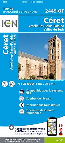
Départ d' Amélie les Bains pour un aller retour jusqu'à la Chapelle Santa Engracia, située au sud de la ville.
Un parcours en forêt, d'abord les chênes verts puis les châtaigniers, qui nous conduira vers de beaux points de vue et une belle chapelle superbement restaurée.
 Actions
5 km

+325 m/-332 m

02:00

Cliquez pour activer


Cliquez et déplacez la souris sur le profil pour analyser un tronçon (2 doigts sur mobile)
Commentaires
Pas encore de commentaire, connectez-vous pour en ajouter un.
Connectez-vous pour ajouter un commentaire
Longueur et nombre de points

5.23 km

857 pts
Denivelé et altitude
Calculés avec un seuil de 10 mètres et un lissage sur 5 points

325 m

332 m

655 m

323 m

513 m
Date et durée

04 février 2016
14:13

04 février 2016
17:10

02:57:07

02:06:46

00:50:21
Vitesses et denivelés horaires

2.5 km/h
Détail »

3.4 km/h
au km 3

354 m/h
0h54m55s

-337 m/h
0h56m55s
| km | Temps | Vitesse | Pause |
|---|
| 1 | 23'35" | 2.5 km/h | 08'34" |
| 2 | 23'55" | 2.5 km/h | 05'47" |
| 3 | 22'56" | 2.6 km/h | 31'23" |
| 4 | 25'24" | 2.4 km/h | |
| 5 | 26'48" | 2.2 km/h | 01'43" |
Dépense calorique (estimation)

252 Cal
119 Cal/h
Plus

Affichée 1640 fois et téléchargée 118 fois depuis le 07.04.20 15:25
Carte + Profil [Afficher un aperçu]
<iframe src="https://www.visugpx.com/yZnIxy8vXx?iframe" allowfullscreen style="border: 0;width: 100%; height: 540px;" scrolling="no"></iframe>
Carte uniquement [Afficher un aperçu]
<iframe src="https://www.visugpx.com/yZnIxy8vXx?iframe&maponly" allowfullscreen style="border: 0;width: 100%; height: 540px;" scrolling="no"></iframe>

Nous avons pris en compte votre choix.
Vous souhaitez maîtriser les informations qui peuvent être recueillies lors de votre navigation et avez refusé les cookies de personnalisation des annonces, c'est légitime.
Parce que le service fourni par VisuGPX a un coût, accepteriez-vous quand même que nous utilisions des cookies pour vous présenter des annonces non personnalisées ? Ces cookies ne sont pas des cookies de tracking mais de simples des cookies techniques de diffusion qui garantissent le respect votre vie privée.


 Actions
  5 km
5 km +325 m/-332 m
 02:00
02:00

 Cliquez et déplacez la souris sur le profil pour analyser un tronçon (2 doigts sur mobile)
 42
42 86
86 28 [Légende]
 Pour soutenir VisuGPX, faites le bon choix