au départ du plan d'eau
balade effectuée dans un but humanitaire organisée et tracée par un club Innerwheel
pas de difficulté particulière
beau tracé
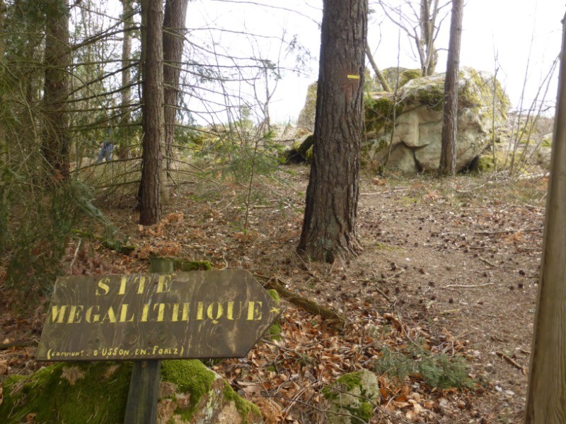
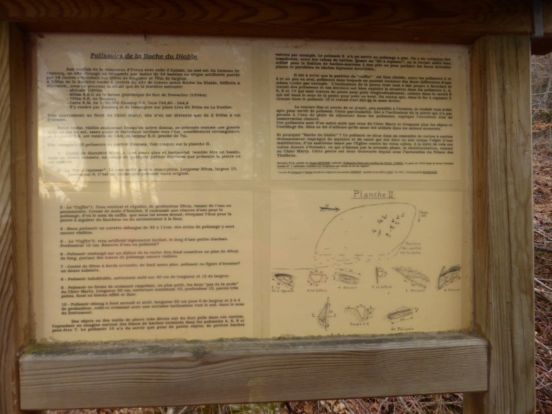
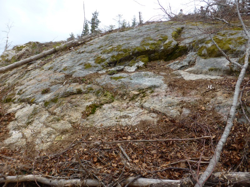
emprunte en majorité des chemins, et fait découvrir un site mégalithique et les polissoirs de la Roche du Diable
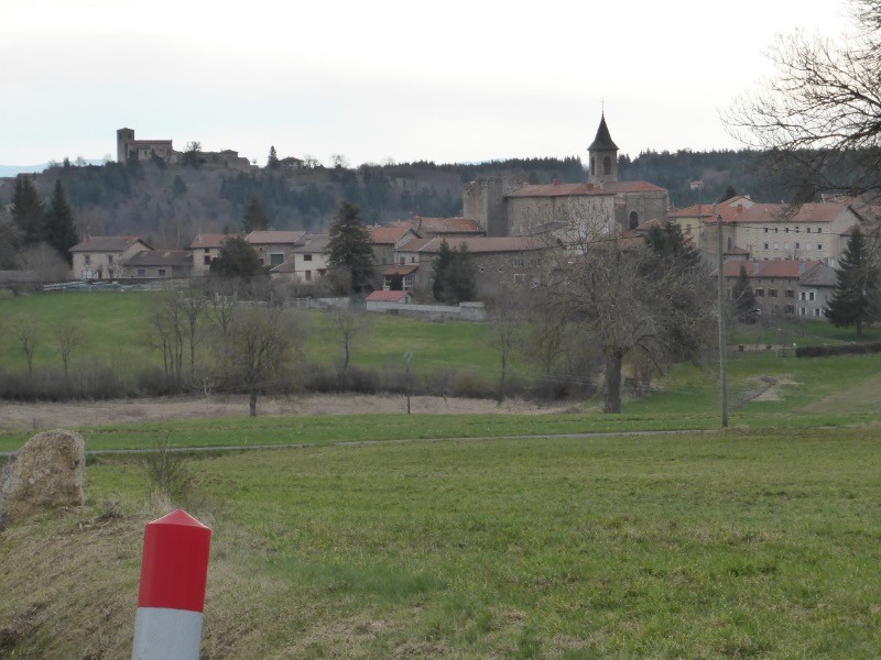
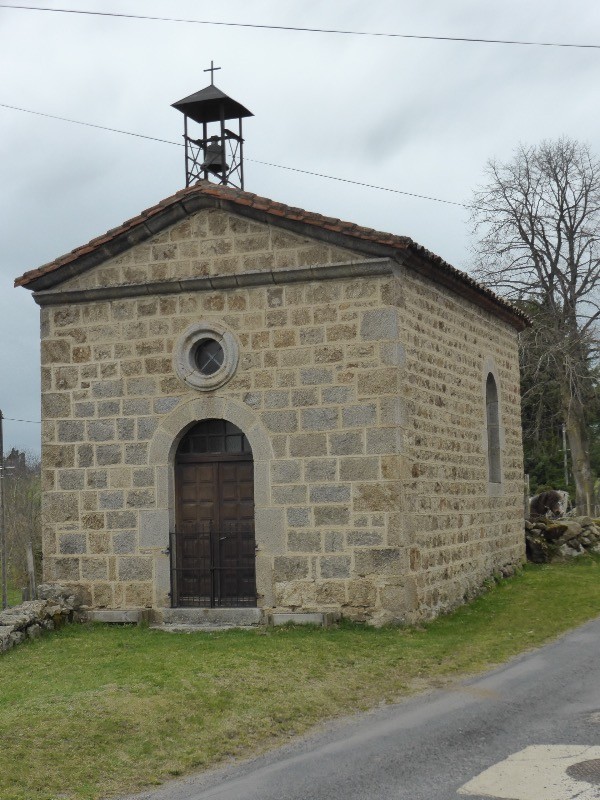
belle vue sur le village d'Apinac
 Actions
11.3 km

+217 m
/-211 m
02:43

Cliquez pour activer


Cliquez et déplacez la souris sur le profil pour analyser un tronçon (2 doigts sur mobile)
 Photos
Commentaires
Pas encore de commentaire, connectez-vous pour en ajouter un.
Connectez-vous pour ajouter un commentaire
Longueur et nombre de points

11.32 km

700 pts
Denivelé et altitude
Calculés avec un seuil de 10 mètres et un lissage sur 5 points

216 m

211 m

1016 m

889 m

945 m
Date et durée

08 avril 2018
09:03

08 avril 2018
12:09

03:05:24

02:43:29

00:21:55
Vitesses et denivelés horaires

4.2 km/h
Détail »

5.6 km/h
au km 1.7

286 m/h
0h38m54s

-252 m/h
0h37m03s
| km | Temps | Vitesse | Pause |
|---|
| 1 | 16'09" | 3.7 km/h | |
| 2 | 11'54" | 5 km/h | |
| 3 | 13'46" | 4.4 km/h | 03'34" |
| 4 | 14'15" | 4.2 km/h | |
| 5 | 15'39" | 3.8 km/h | 03'42" |
| 6 | 14'18" | 4.2 km/h | 04'58" |
| 7 | 14'40" | 4.1 km/h | |
| 8 | 15'07" | 4 km/h | 09'41" |
| 9 | 15'28" | 3.9 km/h | |
| 10 | 13'57" | 4.3 km/h | |
| 11 | 13'59" | 4.3 km/h | |
Dépense calorique (estimation)

307 Cal
113 Cal/h
Plus

Affichée 1178 fois et téléchargée 105 fois depuis le 07.04.20 15:25
KME
14.2 kilomètres effort
Carte + Profil [Afficher un aperçu]
<iframe src="https://www.visugpx.com/sAelPOJcVM?iframe" allowfullscreen style="border: 0;width: 100%; height: 540px;" loading="lazy" scrolling="no"></iframe>
Carte uniquement [Afficher un aperçu]
<iframe src="https://www.visugpx.com/sAelPOJcVM?iframe&maponly" allowfullscreen style="border: 0;width: 100%; height: 540px;" loading="lazy" scrolling="no"></iframe>


 ForumsToposLes plus belles randosSegments
 Offre Premium
 Connexion


 41
41 67
67 26 [Légende]


