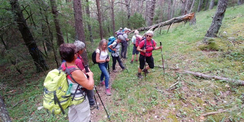
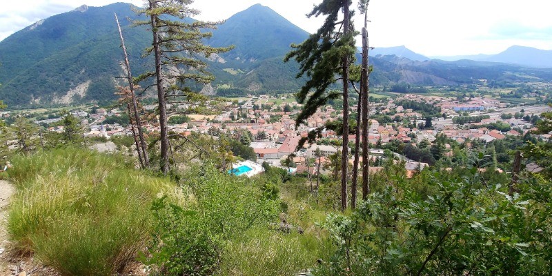
Au départ de Veynes, parking de la piscine, prendre le GR 94 qui monte au nord vers le col de combe Noire Puis retour en parcourant une boucle qui permet de retourner à Veynes ne passant par la ferme des Granges.
 Actions
10 km

+638 m/-593 m

03:45

Cliquez pour activer


Cliquez et déplacez la souris sur le profil pour analyser un tronçon (2 doigts sur mobile)
 Photos
Commentaires
Pas encore de commentaire, connectez-vous pour en ajouter un.
Connectez-vous pour ajouter un commentaire
Longueur et nombre de points

9.99 km

1295 pts
Denivelé et altitude
Calculés sans seuil et sans lissage

638 m

593 m

1303 m

815 m

1074 m
Date et durée

11 juillet 2019
09:40

11 juillet 2019
15:47

06:06:41

03:47:20

02:19:21
Vitesses et denivelés horaires

2.6 km/h
Détail »

4.3 km/h
au km 0.8

333 m/h
1h46m53s

-349 m/h
1h34m19s
| km | Temps | Vitesse | Pause |
|---|
| 1 | 25'29" | 2.4 km/h | 06'15" |
| 2 | 28'11" | 2.1 km/h | 27'16" |
| 3 | 24'55" | 2.4 km/h | 17'35" |
| 4 | 16'24" | 3.7 km/h | 74'44" |
| 5 | 20'00" | 3 km/h | 02'19" |
| 6 | 30'11" | 2 km/h | 03'25" |
| 7 | 17'47" | 3.4 km/h | |
| 8 | 18'37" | 3.2 km/h | 04'41" |
| 9 | 20'31" | 2.9 km/h | |
Dépense calorique (estimation)

482 Cal
127 Cal/h
Plus

Affichée 814 fois et téléchargée 36 fois depuis le 10.07.19 11:29
Carte + Profil [Afficher un aperçu]
<iframe src="https://www.visugpx.com/j2VI7PqEyD?iframe" allowfullscreen style="border: 0;width: 100%; height: 540px;" scrolling="no"></iframe>
Carte uniquement [Afficher un aperçu]
<iframe src="https://www.visugpx.com/j2VI7PqEyD?iframe&maponly" allowfullscreen style="border: 0;width: 100%; height: 540px;" scrolling="no"></iframe>

Nous avons pris en compte votre choix.
Vous souhaitez maîtriser les informations qui peuvent être recueillies lors de votre navigation et avez refusé les cookies de personnalisation des annonces, c'est légitime.
Parce que le service fourni par VisuGPX a un coût, accepteriez-vous quand même que nous utilisions des cookies pour vous présenter des annonces non personnalisées ? Ces cookies ne sont pas des cookies de tracking mais de simples des cookies techniques de diffusion qui garantissent le respect votre vie privée.


 Actions
  10 km
10 km +638 m/-593 m
 03:45
03:45

 Cliquez et déplacez la souris sur le profil pour analyser un tronçon (2 doigts sur mobile)


 59
59 124
124 61 [Légende]
 Pour soutenir VisuGPX, faites le bon choix