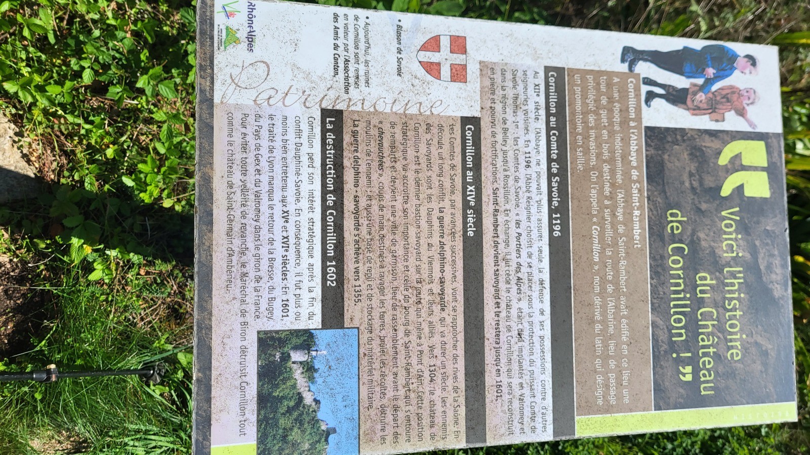
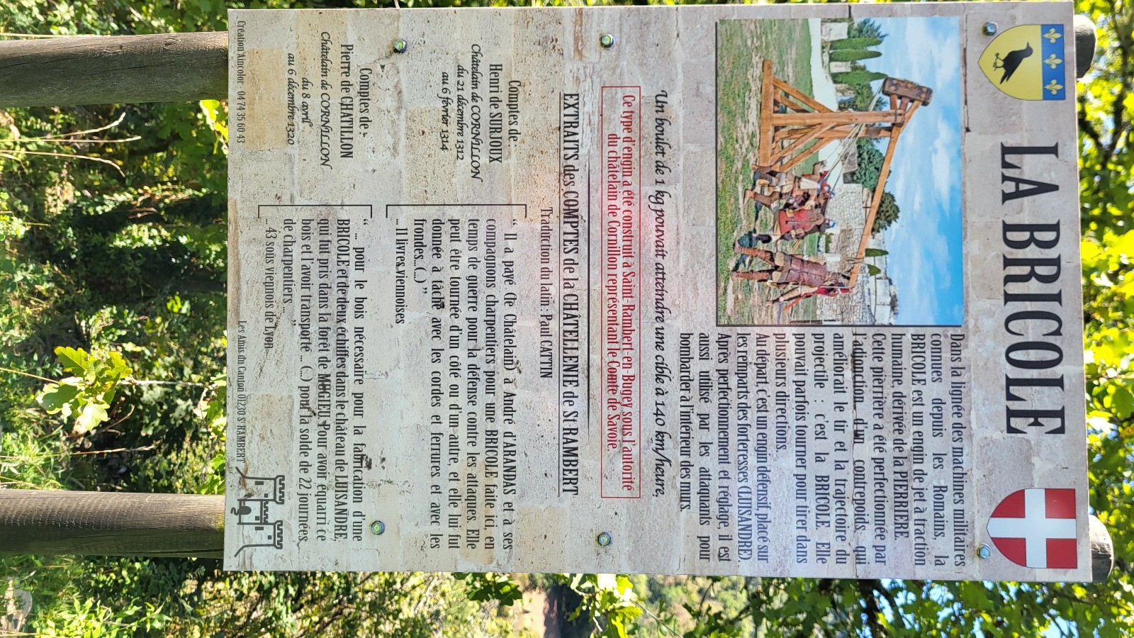
Départ Les Allymes
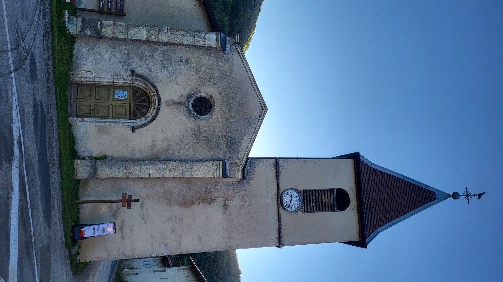
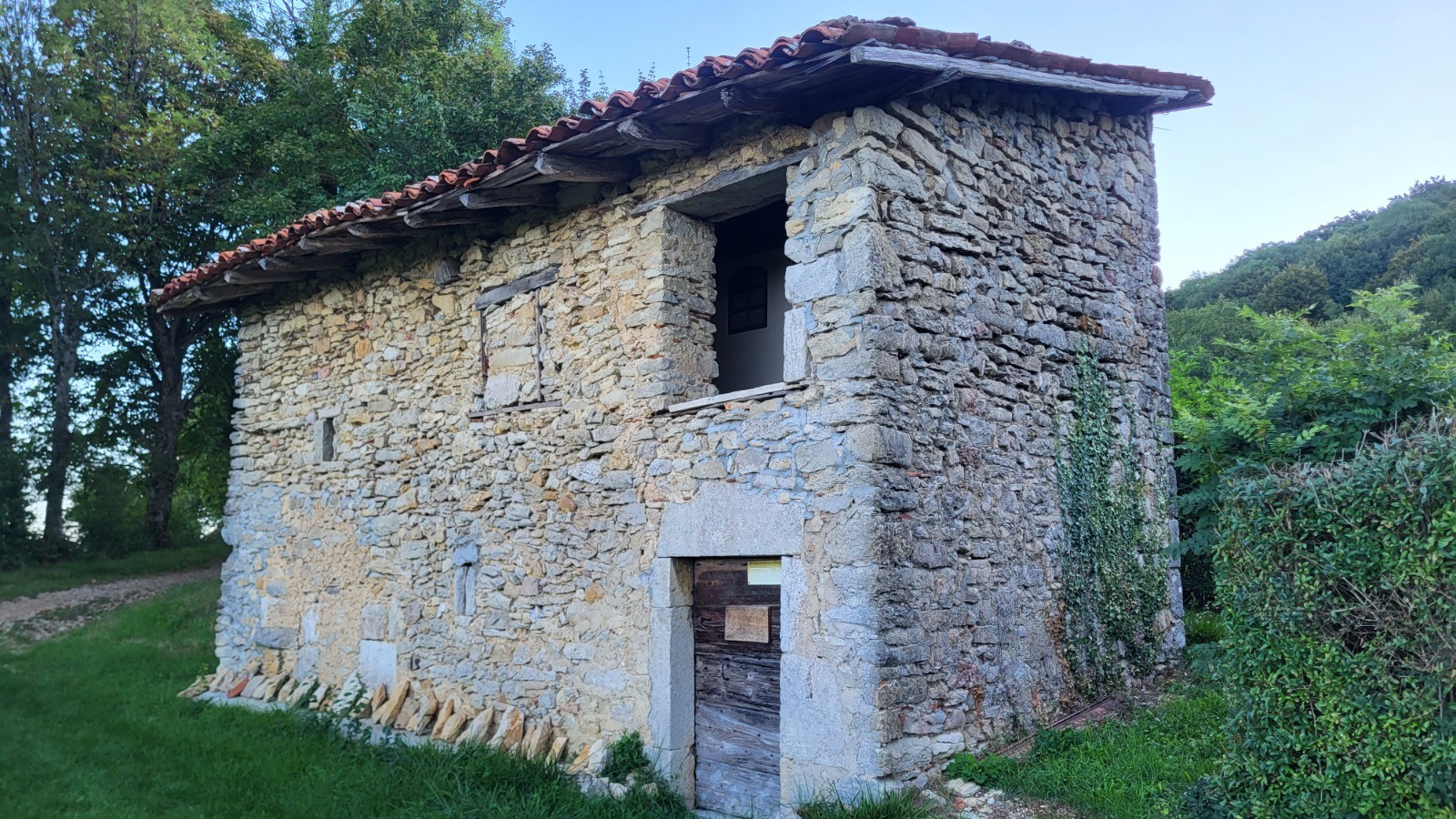
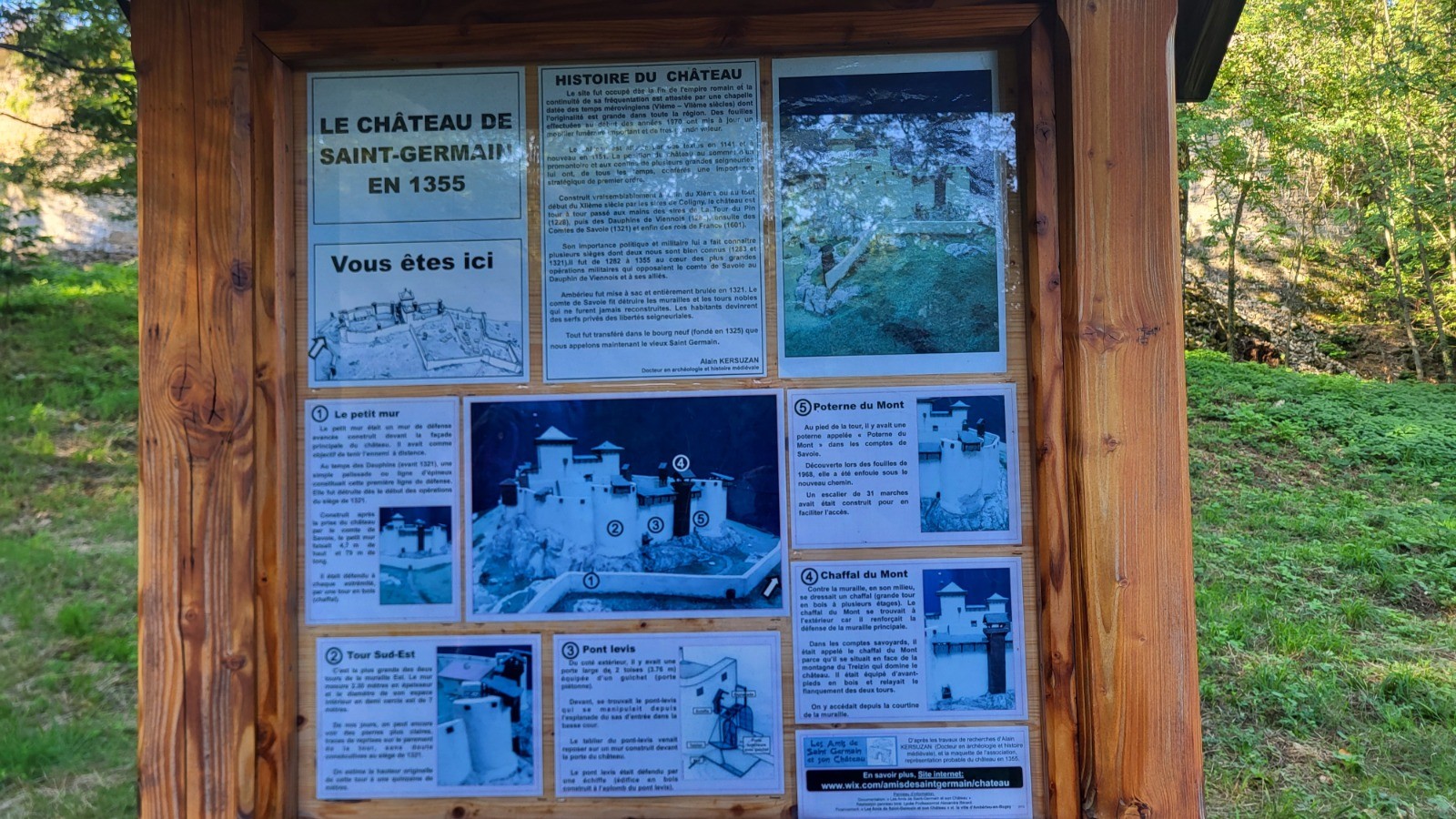
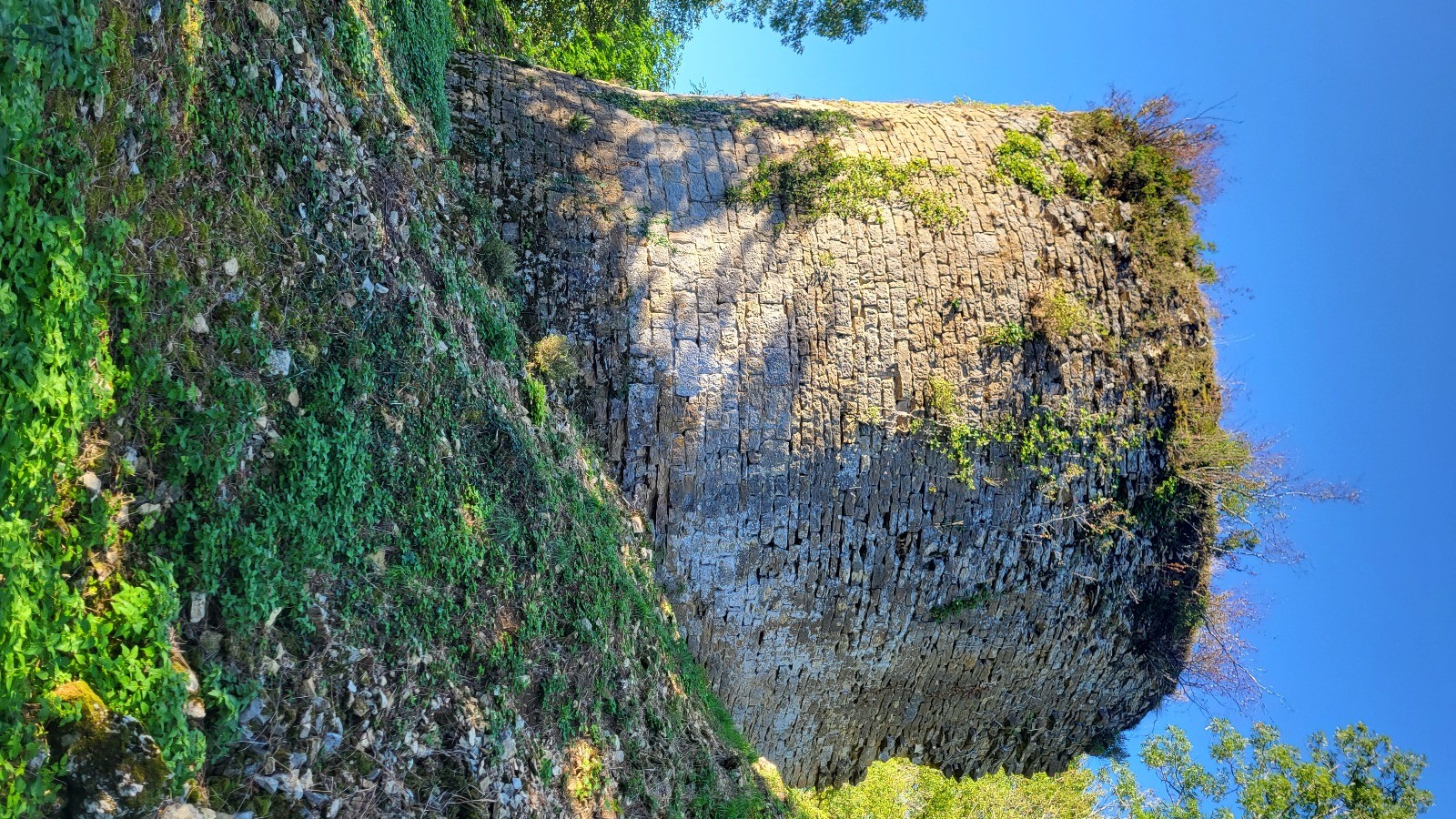
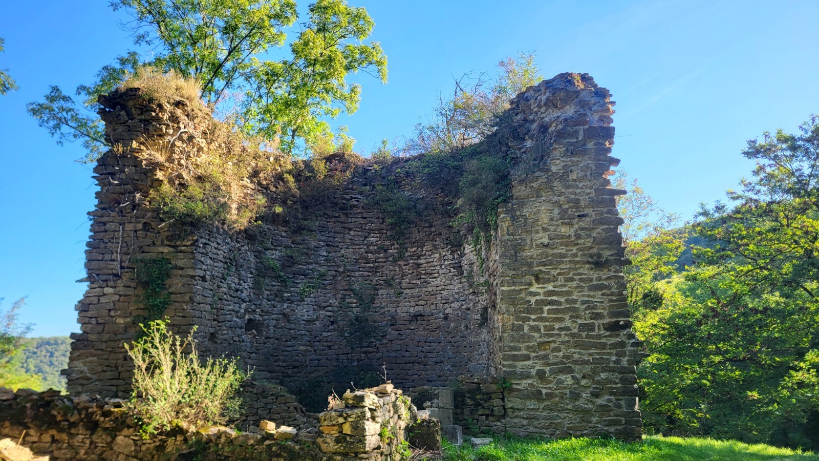
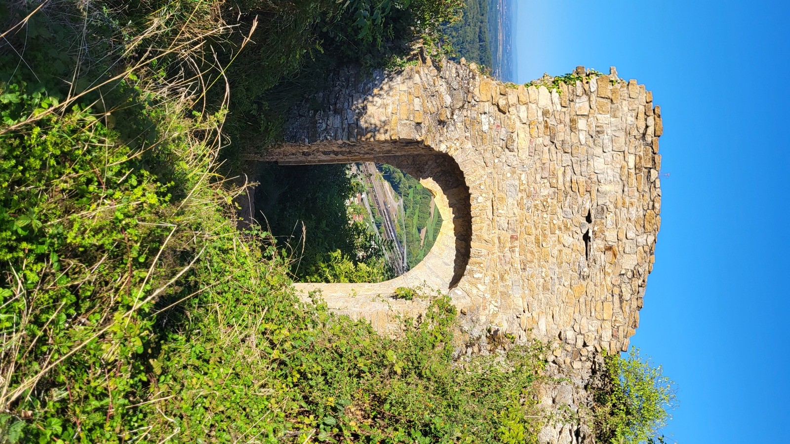
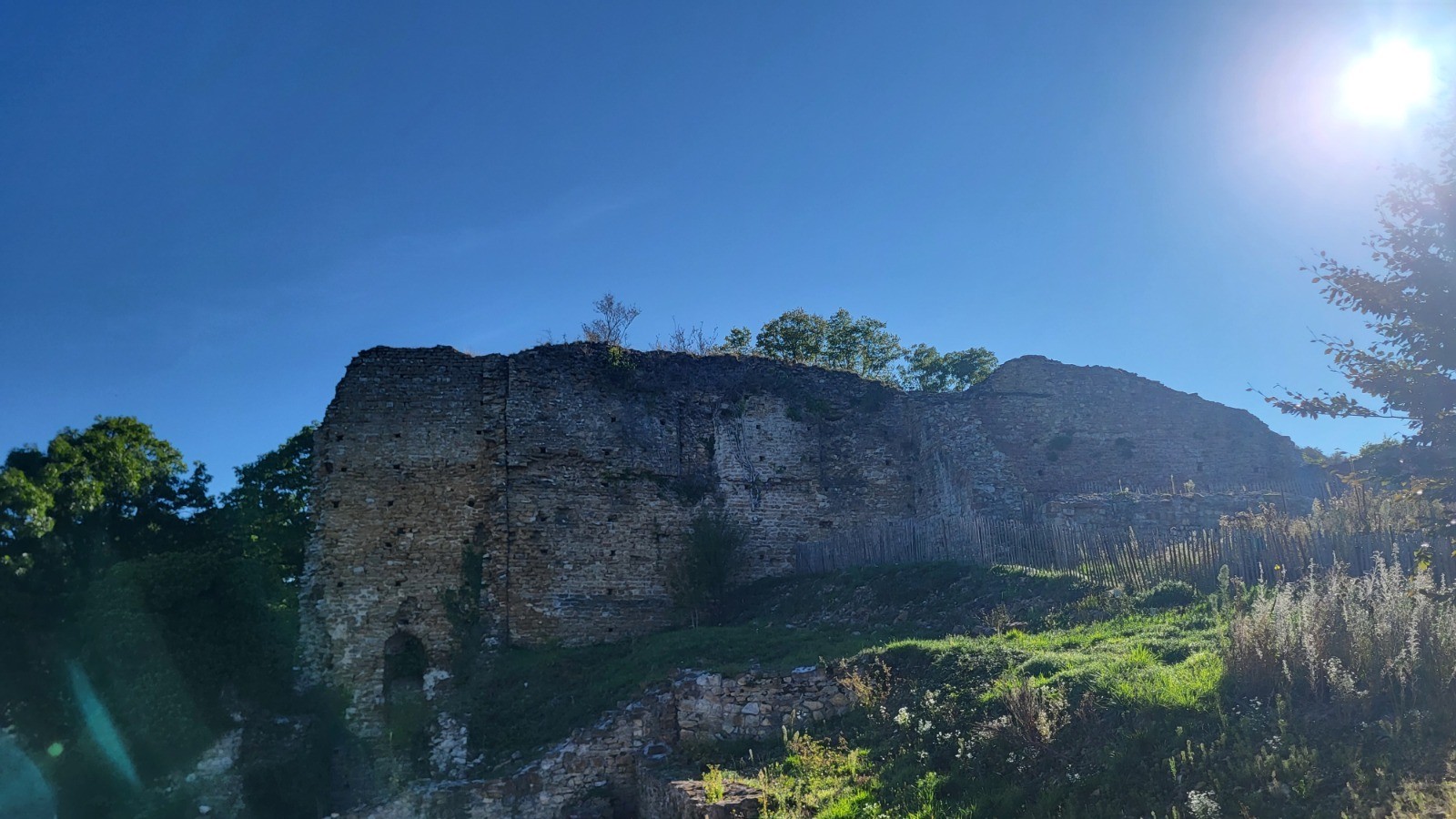
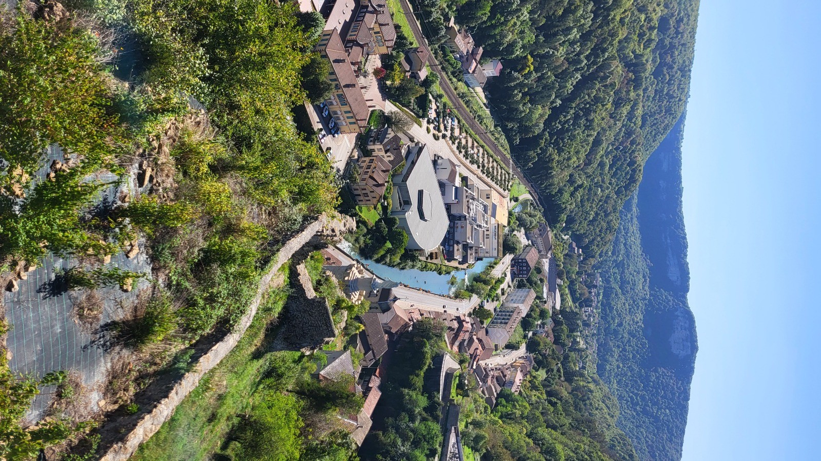
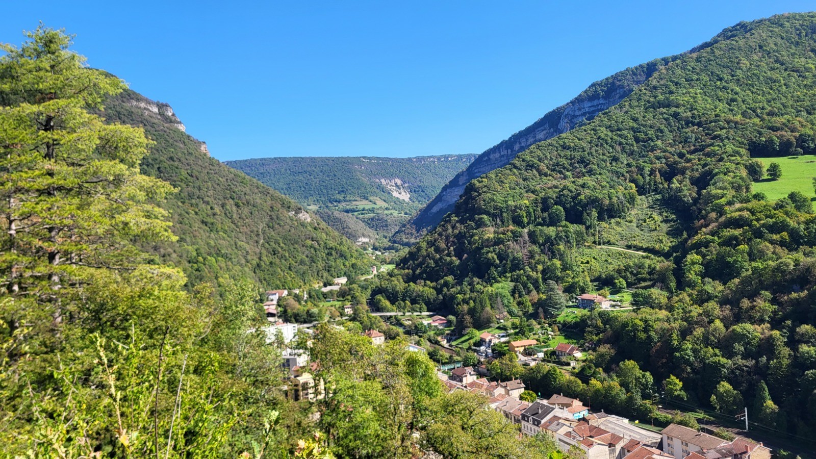
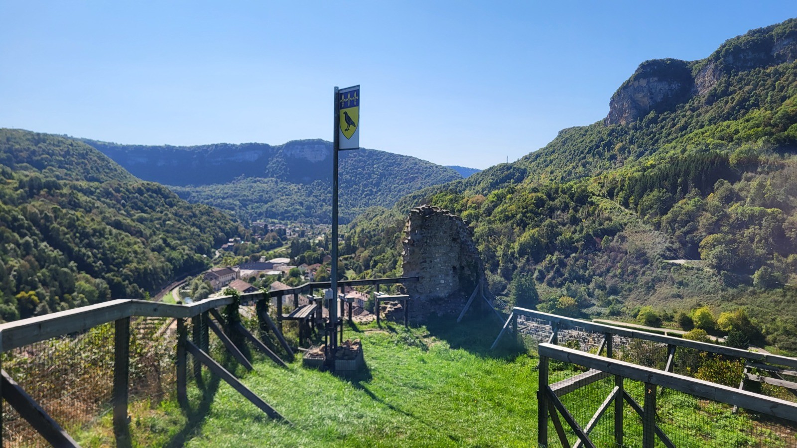
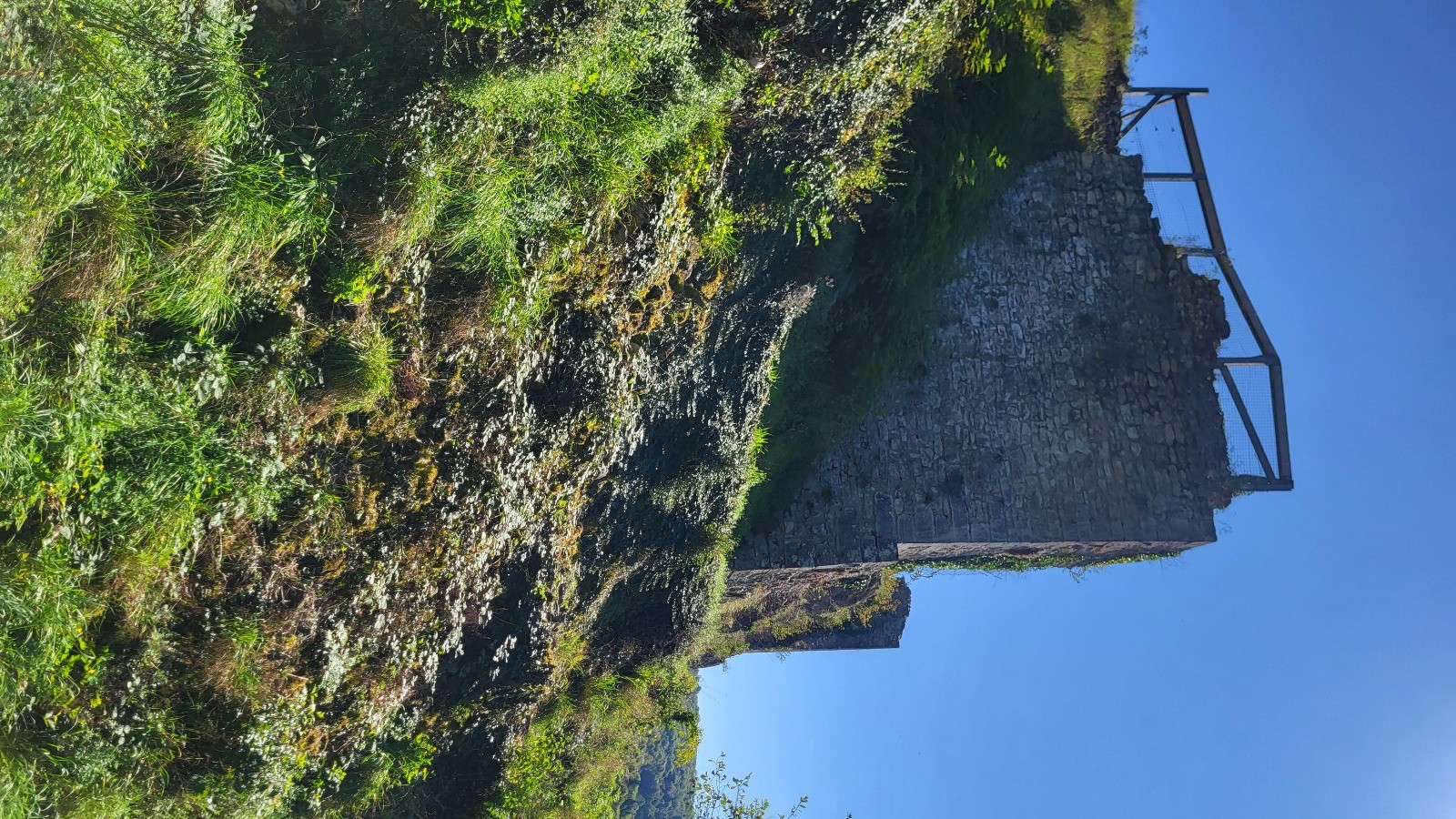
Points de passage : Château de Saint-Germain, Château de Cornillon, Gratoux, Brédevant, Château des Allymes
 Actions
23.9 km

+1131 m
/-1122 m
07:36

Cliquez pour activer


Cliquez et déplacez la souris sur le profil pour analyser un tronçon (2 doigts sur mobile)
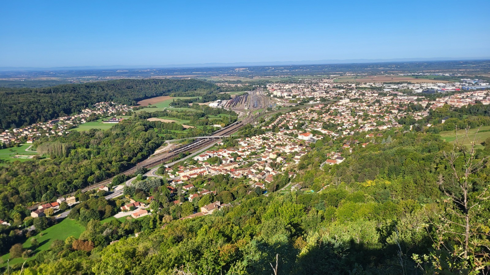
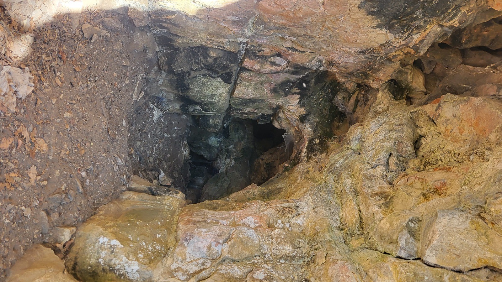
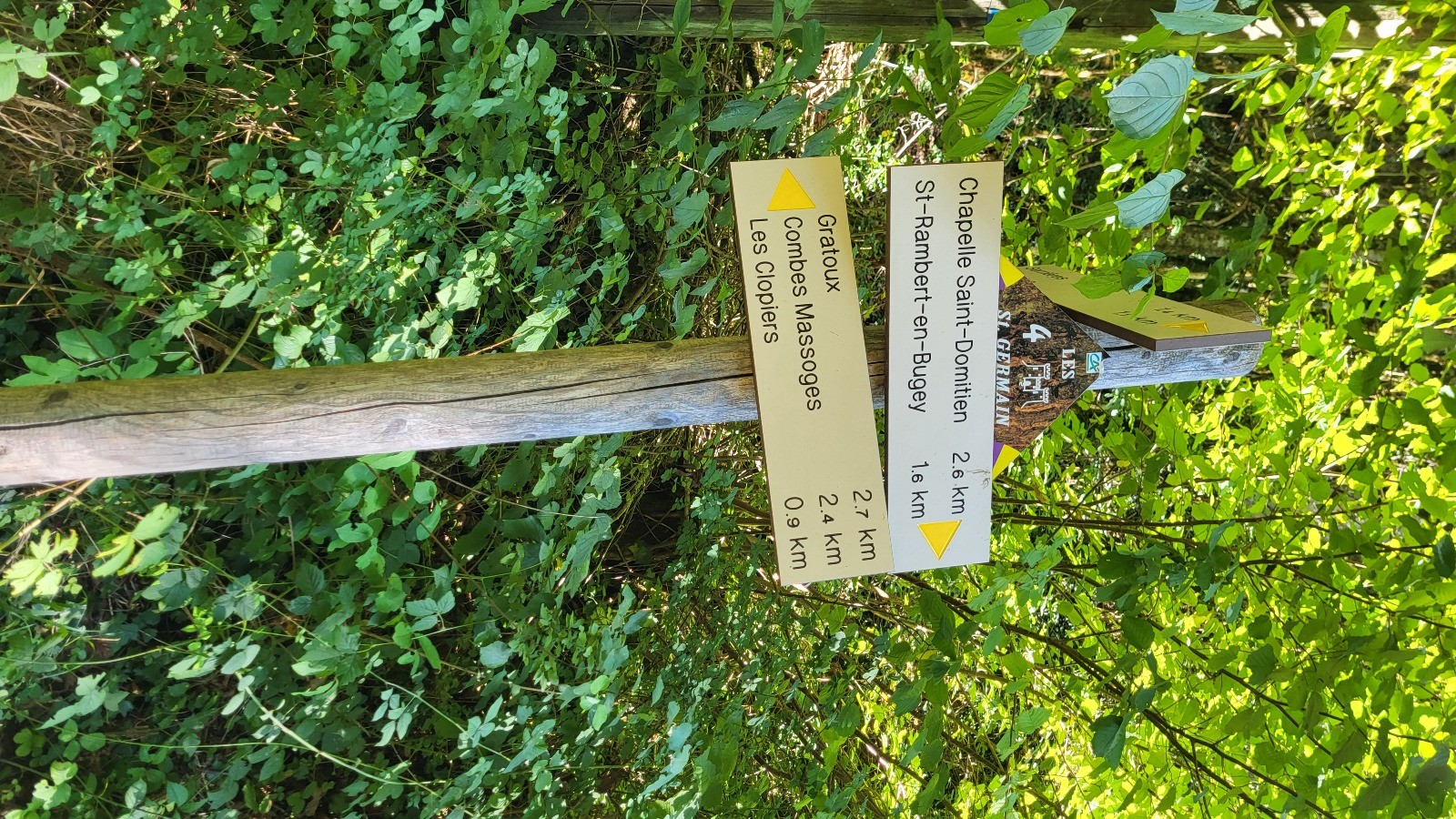
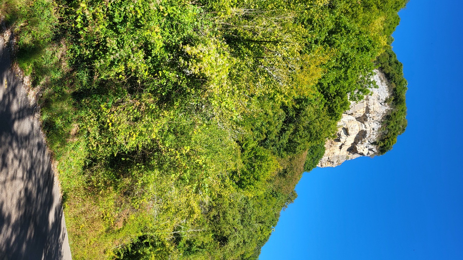
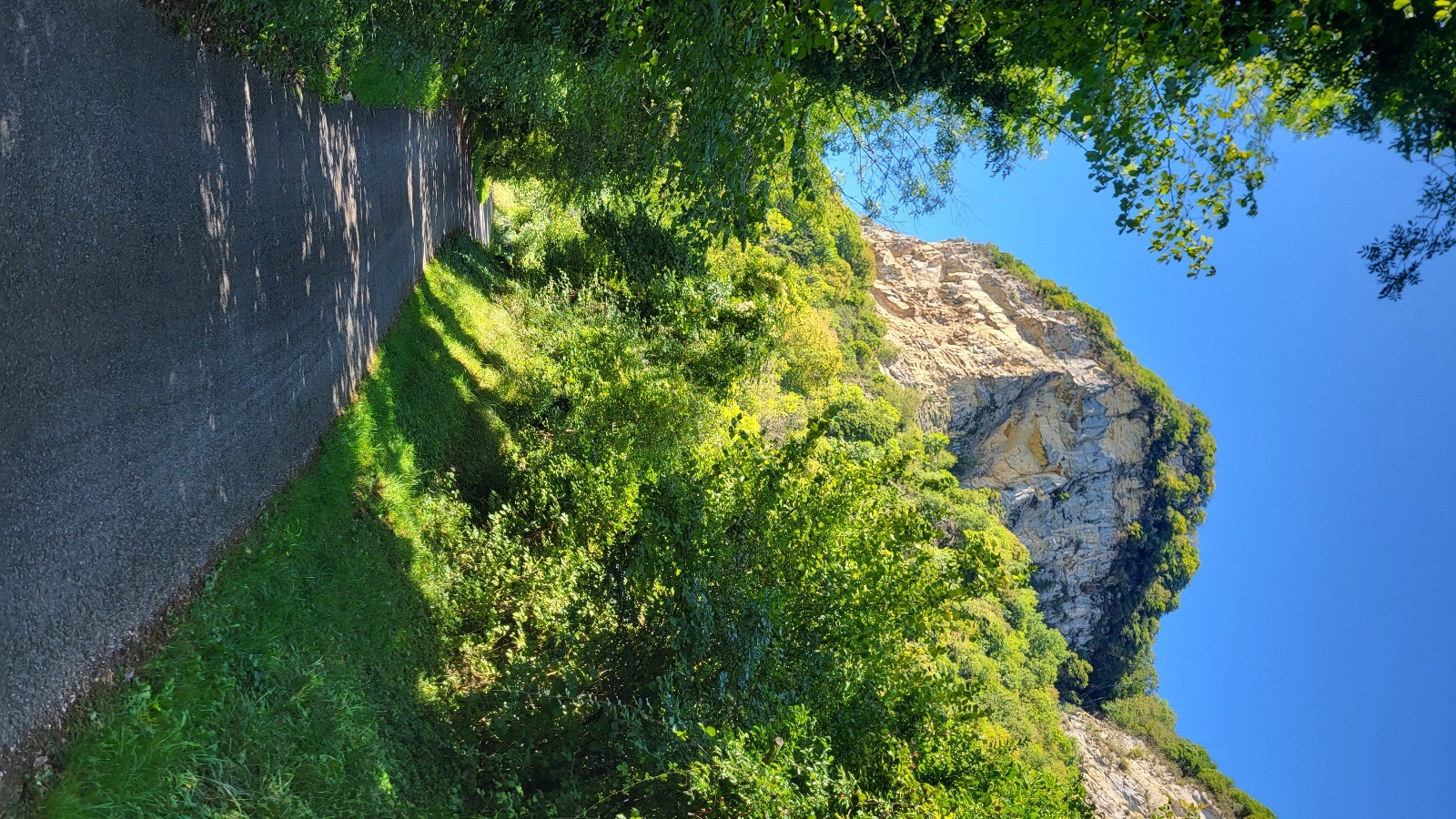
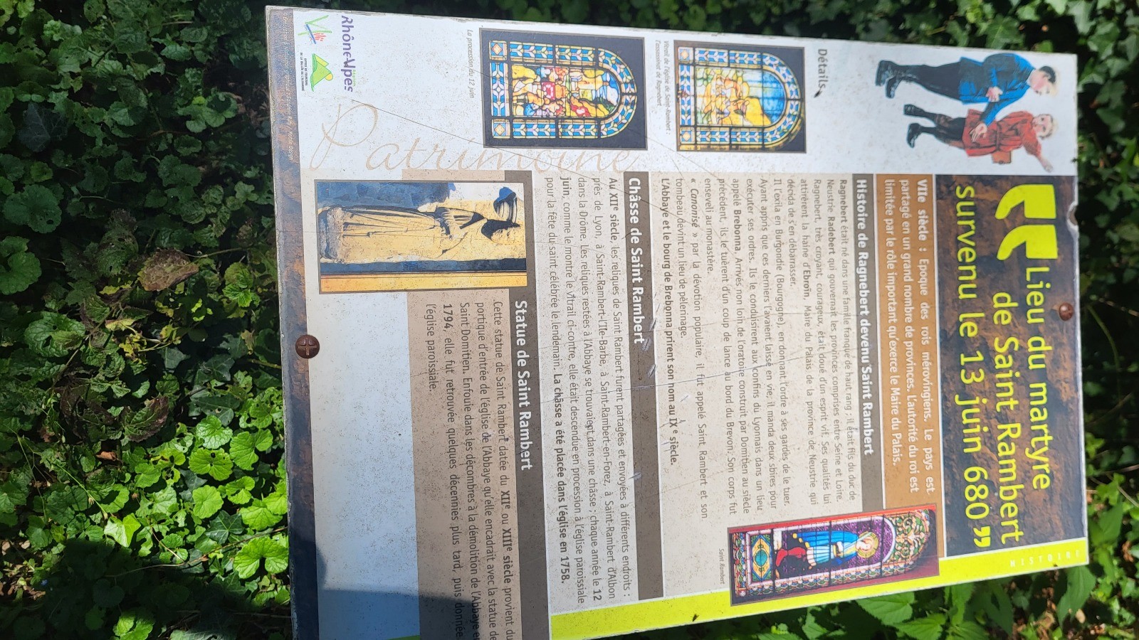
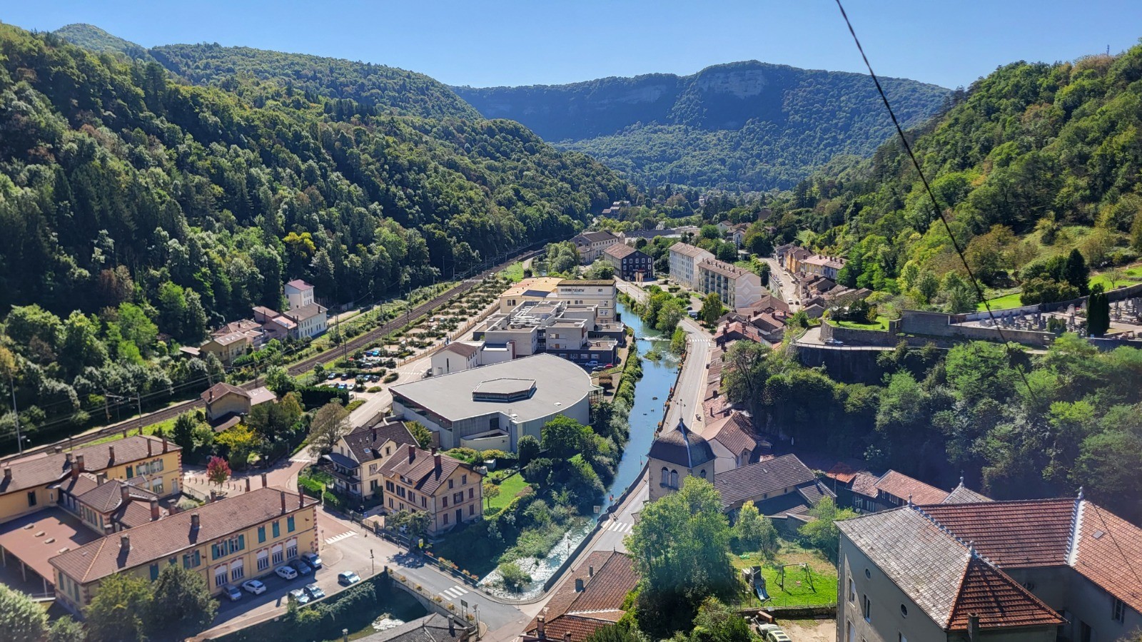
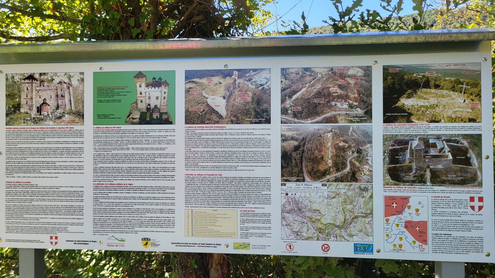
 Photos
Commentaires
Pas encore de commentaire, connectez-vous pour en ajouter un.
Connectez-vous pour ajouter un commentaire
Longueur et nombre de points

23.86 km

6931 pts
Denivelé et altitude
Calculés avec un seuil de 2 mètres et un lissage sur 3 points

1131 m

1122 m

737 m

292 m

536 m
Date et durée

18 septembre 2025
08:27

18 septembre 2025
18:01

09:34:55

07:36:53

01:58:02
Vitesses et denivelés horaires

3.1 km/h
Détail »

5.2 km/h
au km 10.6

270 m/h
3h40m11s

-342 m/h
2h50m37s
| km | Temps | Vitesse | Pause |
|---|
| 1 | 16'10" | 3.7 km/h | 03'48" |
| 2 | 14'39" | 4.1 km/h | 01'31" |
| 3 | 14'51" | 4 km/h | 01'25" |
| 4 | 17'57" | 3.3 km/h | 04'22" |
| 5 | 21'41" | 2.8 km/h | 03'20" |
| 6 | 26'46" | 2.2 km/h | 03'58" |
| 7 | 19'06" | 3.1 km/h | 03'07" |
| 8 | 22'53" | 2.6 km/h | |
| 9 | 17'35" | 3.4 km/h | |
| 10 | 15'17" | 3.9 km/h | |
| 11 | 15'05" | 4 km/h | |
| 12 | 17'28" | 3.4 km/h | |
| 13 | 17'11" | 3.5 km/h | 04'24" |
| 14 | 26'02" | 2.3 km/h | 53'28" |
| 15 | 25'15" | 2.4 km/h | 13'35" |
| 16 | 23'12" | 2.6 km/h | |
| 17 | 21'26" | 2.8 km/h | 08'20" |
| 18 | 17'28" | 3.4 km/h | |
| 19 | 17'15" | 3.5 km/h | 02'53" |
| 20 | 16'34" | 3.6 km/h | 03'20" |
| 21 | 14'37" | 4.1 km/h | 04'34" |
| 22 | 17'28" | 3.4 km/h | |
| 23 | 22'19" | 2.7 km/h | 04'08" |
Dépense calorique (estimation)

949 Cal
125 Cal/h
Plus

Affichée 78 fois et téléchargée 20 fois depuis le 18.09.25 19:55
KME
38.9 kilomètres effort
Carte + Profil [Afficher un aperçu]
<iframe src="https://www.visugpx.com/h81X4fwiAd?iframe" allowfullscreen style="border: 0;width: 100%; height: 540px;" loading="lazy" scrolling="no"></iframe>
Carte uniquement [Afficher un aperçu]
<iframe src="https://www.visugpx.com/h81X4fwiAd?iframe&maponly" allowfullscreen style="border: 0;width: 100%; height: 540px;" loading="lazy" scrolling="no"></iframe>


 ForumsToposLes plus belles randosSegments
 Offre Premium
 Connexion


 109
109 228
228 129 [Légende]


