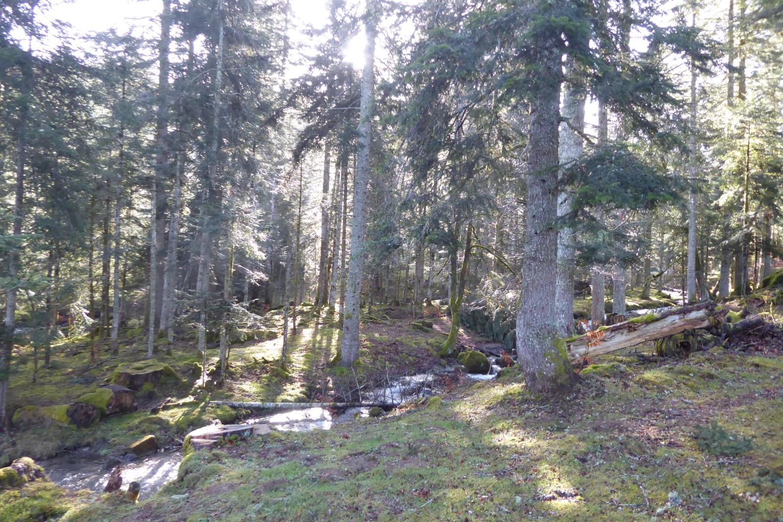
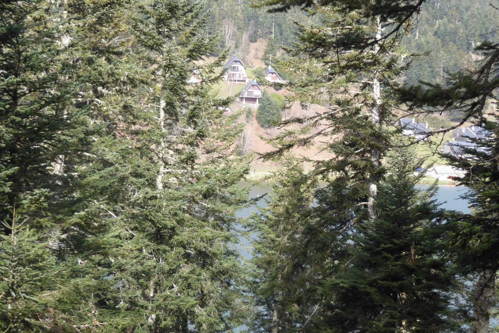
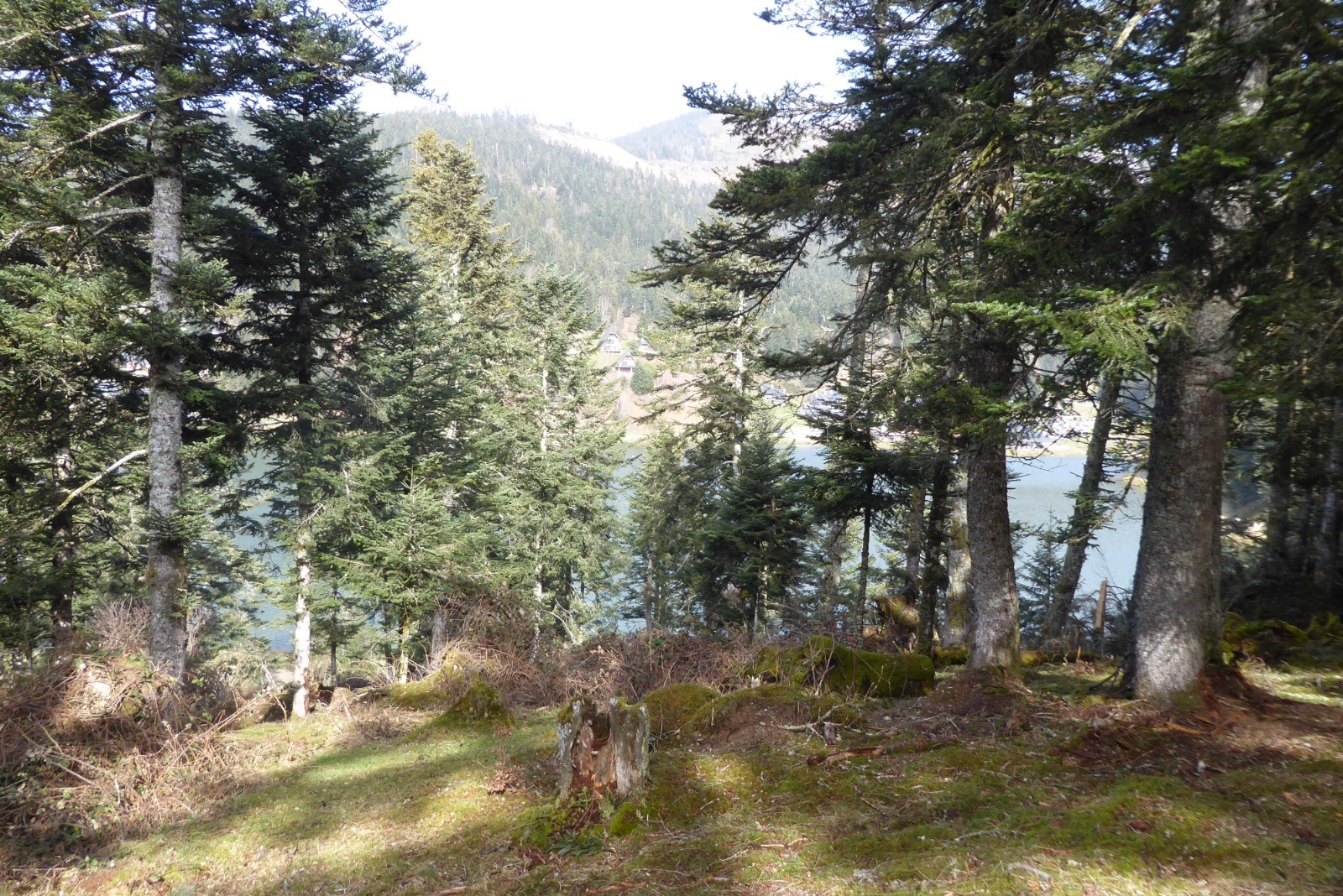
Un temps très clair pour cette boucle à Payolle, avec beaucoup de vent cependant.
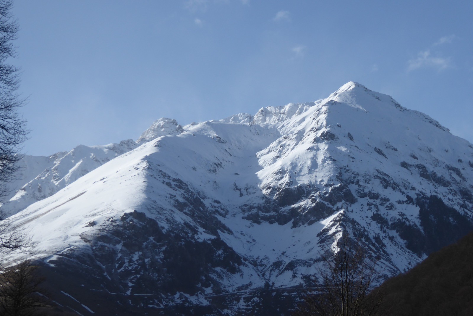
Les sommets. environnants étaient parés de neige et majestueux.
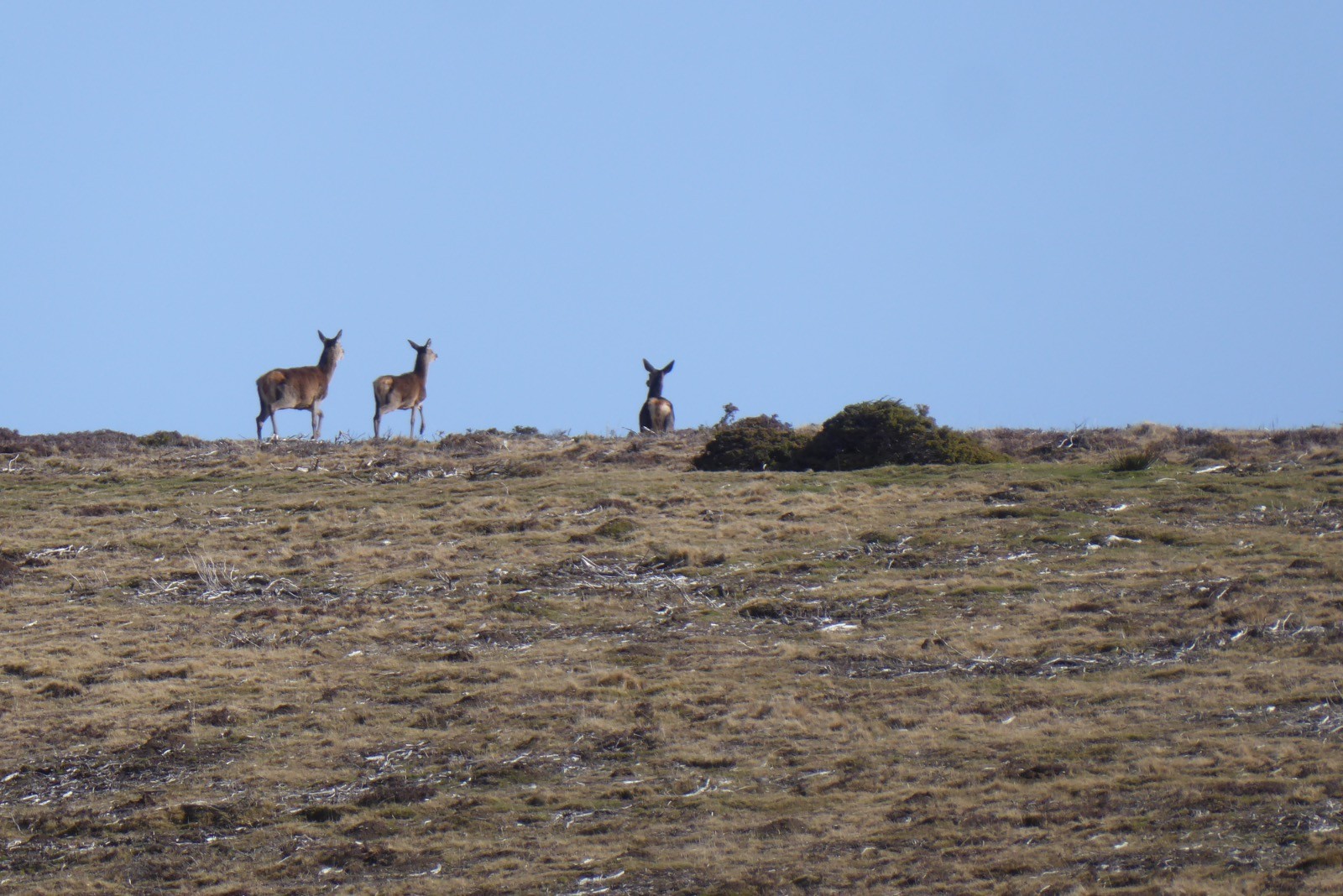
Une reprise cette mais les jambes ont bien répondu !!!!
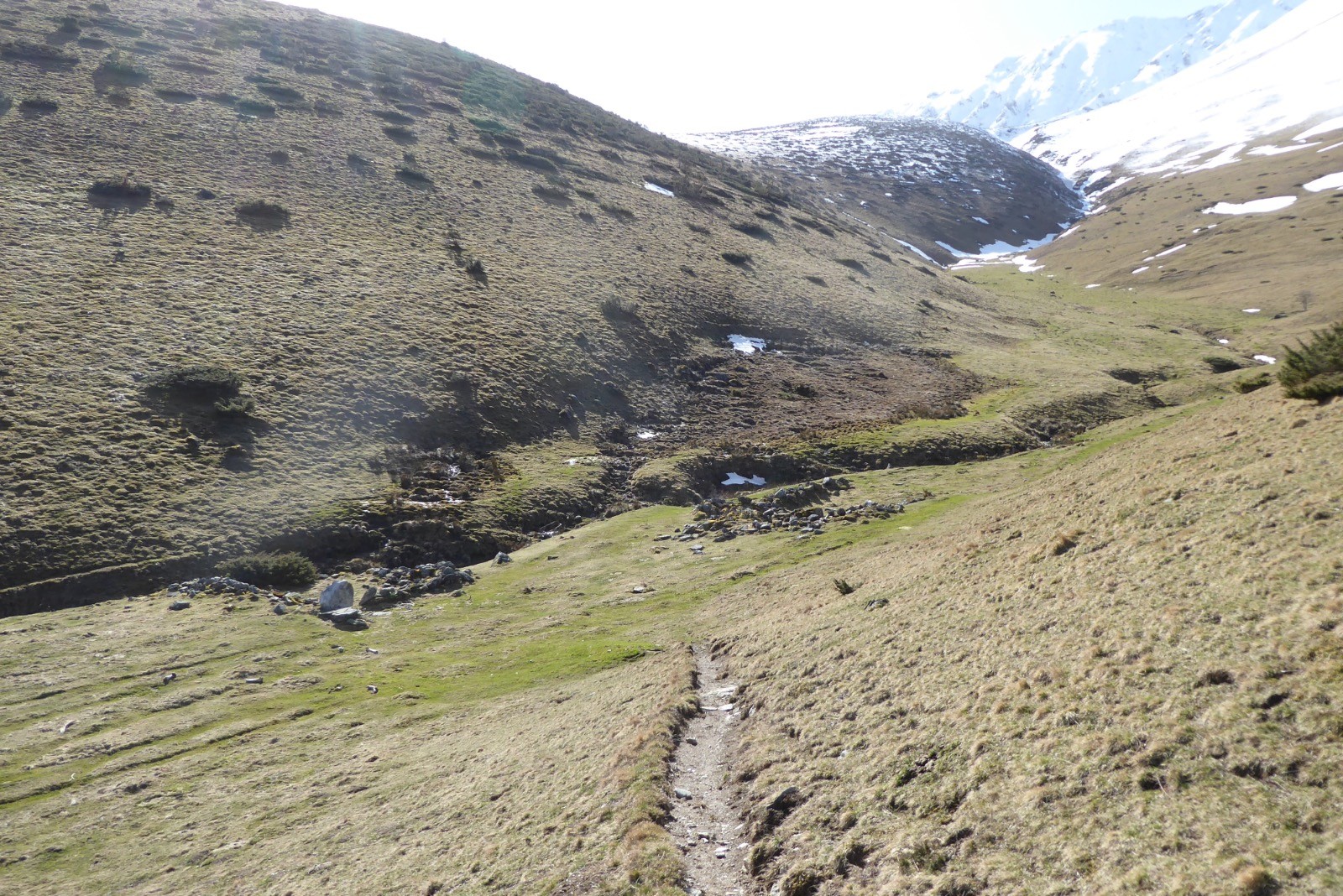
A l'arrivée au lac :....beaucoup de monde :(
 Actions
12.7 km

+682 m
/-674 m
03:41

Cliquez pour activer


Cliquez et déplacez la souris sur le profil pour analyser un tronçon (2 doigts sur mobile)
 Photos
Commentaires
Pas encore de commentaire, connectez-vous pour en ajouter un.
Connectez-vous pour ajouter un commentaire
Longueur et nombre de points

12.69 km

1417 pts
Denivelé et altitude
Calculés avec un seuil de 10 mètres et un lissage sur 5 points

681 m

675 m

1703 m

1140 m

1417 m
Date et durée

23 février 2021
09:40

23 février 2021
14:52

05:11:05

03:41:06

01:29:59
Vitesses et denivelés horaires

3.4 km/h
Détail »

5.9 km/h
au km 4.5

317 m/h
2h01m59s

-575 m/h
1h06m53s
| km | Temps | Vitesse | Pause |
|---|
| 1 | 15'38" | 3.8 km/h | 06'40" |
| 2 | 17'44" | 3.4 km/h | |
| 3 | 15'56" | 3.8 km/h | |
| 4 | 17'48" | 3.4 km/h | 02'20" |
| 5 | 19'35" | 3.1 km/h | |
| 6 | 21'23" | 2.8 km/h | 02'49" |
| 7 | 14'30" | 4.1 km/h | |
| 8 | 17'59" | 3.3 km/h | 02'50" |
| 9 | 18'45" | 3.2 km/h | |
| 10 | 14'08" | 4.2 km/h | 56'40" |
| 11 | 20'53" | 2.9 km/h | 18'40" |
| 12 | 16'07" | 3.7 km/h | |
Dépense calorique (estimation)

789 Cal
214 Cal/h
Plus

Affichée 648 fois et téléchargée 70 fois depuis le 23.02.21 18:01
KME
21.8 kilomètres effort
Carte + Profil [Afficher un aperçu]
<iframe src="https://www.visugpx.com/eofXVEZa9z?iframe" allowfullscreen style="border: 0;width: 100%; height: 540px;" loading="lazy" scrolling="no"></iframe>
Carte uniquement [Afficher un aperçu]
<iframe src="https://www.visugpx.com/eofXVEZa9z?iframe&maponly" allowfullscreen style="border: 0;width: 100%; height: 540px;" loading="lazy" scrolling="no"></iframe>


 ForumsToposLes plus belles randosSegments
 Offre Premium
 Connexion


 80
80 171
171 73 [Légende]


