Sortie effectuée en Aout 2018 avec les Randonneurs de Paris
Menée par Gabriel
 Actions
28.1 km

+118 m
/-173 m
05:29

Cliquez pour activer


Cliquez et déplacez la souris sur le profil pour analyser un tronçon (2 doigts sur mobile)
Détails
Pas de difficultés particulières si ce n'est qu'une très forte chaleur et très peu de possibilités d'abris.
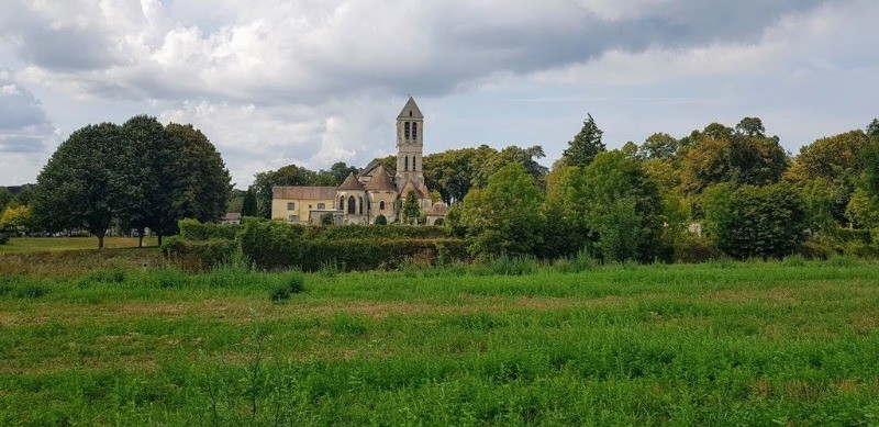
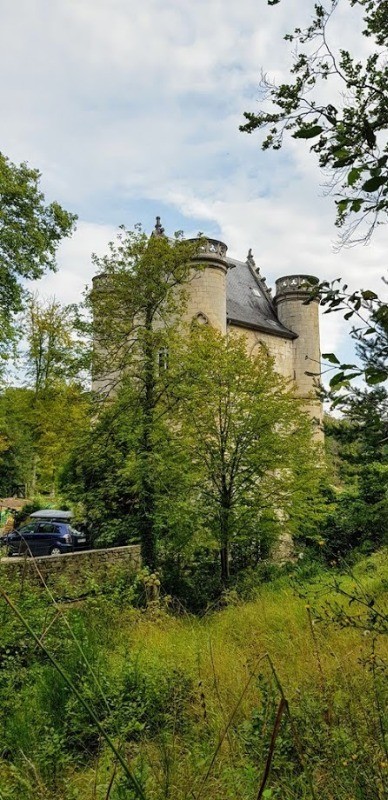
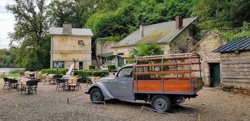
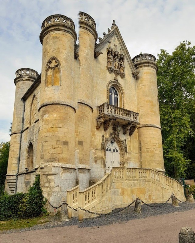
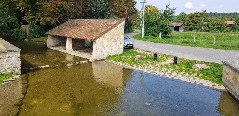
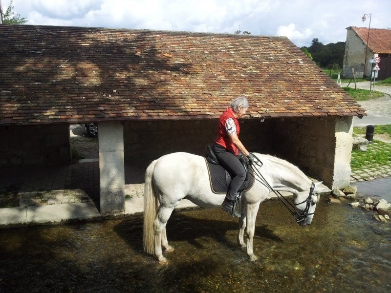
 Photos
Commentaires
Pas encore de commentaire, connectez-vous pour en ajouter un.
Connectez-vous pour ajouter un commentaire
Longueur et nombre de points

28.11 km

5353 pts
Denivelé et altitude
Calculés avec un seuil de 10 mètres et un lissage sur 5 points

118 m

173 m

210 m

93 m

138 m
Date et durée

27 août 2018
17:00

31 août 2018
15:15

4 jours

05:29:34
Vitesses et denivelés horaires

5.1 km/h
Détail »

8.9 km/h
au km 3.6

223 m/h
0h17m54s

-219 m/h
0h17m27s
| km | Temps | Vitesse | Pause |
|---|
| 1 | 10'21" | 5.8 km/h | 5266'55" |
| 2 | 11'45" | 5.1 km/h | |
| 3 | 10'27" | 5.7 km/h | |
| 4 | 12'01" | 5 km/h | |
| 5 | 12'07" | 5 km/h | |
| 6 | 10'49" | 5.6 km/h | |
| 7 | 10'19" | 5.8 km/h | |
| 8 | 10'12" | 5.9 km/h | |
| 9 | 11'19" | 5.3 km/h | |
| 10 | 13'43" | 4.4 km/h | |
| 11 | 11'38" | 5.2 km/h | 12'28" |
| 12 | 11'12" | 5.4 km/h | |
| 13 | 11'21" | 5.3 km/h | |
| 14 | 13'08" | 4.6 km/h | 01'58" |
| 15 | 10'33" | 5.7 km/h | |
| 16 | 10'57" | 5.5 km/h | |
| 17 | 12'31" | 4.8 km/h | |
| 18 | 14'06" | 4.3 km/h | 40'57" |
| 19 | 11'51" | 5.1 km/h | |
| 20 | 12'58" | 4.6 km/h | |
| 21 | 12'25" | 4.8 km/h | |
| 22 | 12'25" | 4.8 km/h | |
| 23 | 12'46" | 4.7 km/h | |
| 24 | 10'23" | 5.8 km/h | |
| 25 | 12'04" | 5 km/h | |
| 26 | 11'12" | 5.4 km/h | |
| 27 | 11'26" | 5.2 km/h | 02'49" |
| 28 | 11'02" | 5.4 km/h | |
Dépense calorique (estimation)

462 Cal
84 Cal/h
Plus

Affichée 771 fois et téléchargée 50 fois depuis le 07.04.20 15:25
KME
29.9 kilomètres effort
Carte + Profil [Afficher un aperçu]
<iframe src="https://www.visugpx.com/dkVqf3yXmM?iframe" allowfullscreen style="border: 0;width: 100%; height: 540px;" loading="lazy" scrolling="no"></iframe>
Carte uniquement [Afficher un aperçu]
<iframe src="https://www.visugpx.com/dkVqf3yXmM?iframe&maponly" allowfullscreen style="border: 0;width: 100%; height: 540px;" loading="lazy" scrolling="no"></iframe>


 ForumsToposLes plus belles randosSegments
 Offre Premium
 Connexion


 68
68 95
95 15 [Légende]


