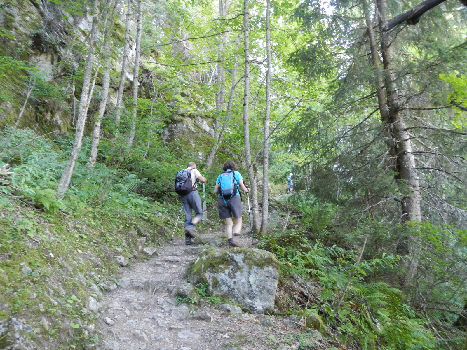
Randonnée très agréable par temps chaud. Montée le matin en forêt et à l'ombre du versant ouest de la vallée des Contamines jusqu'à La Sololieu.
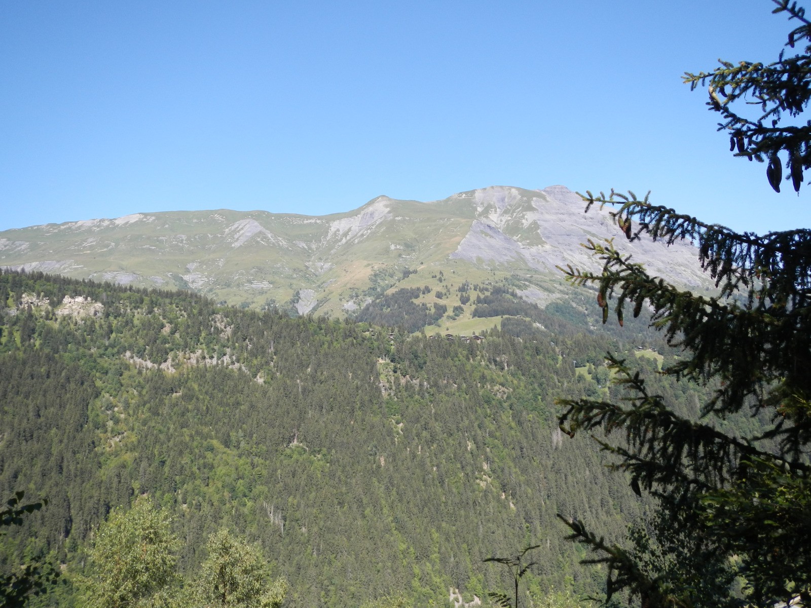
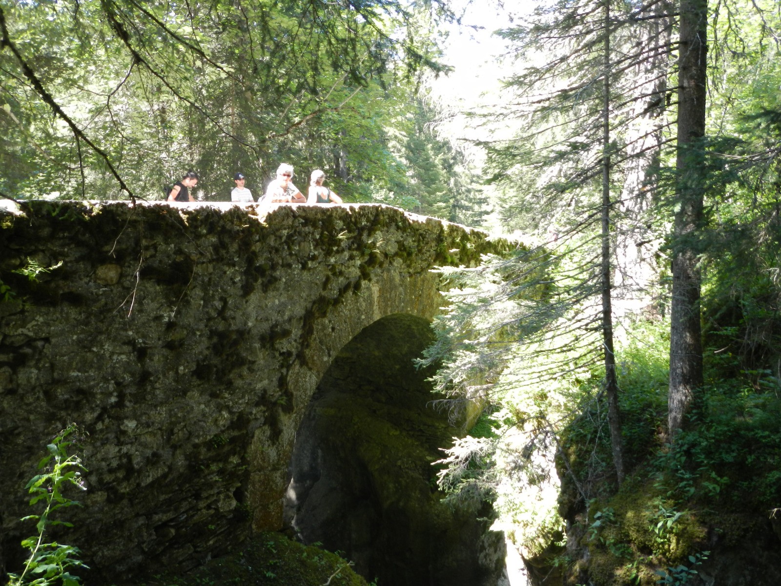
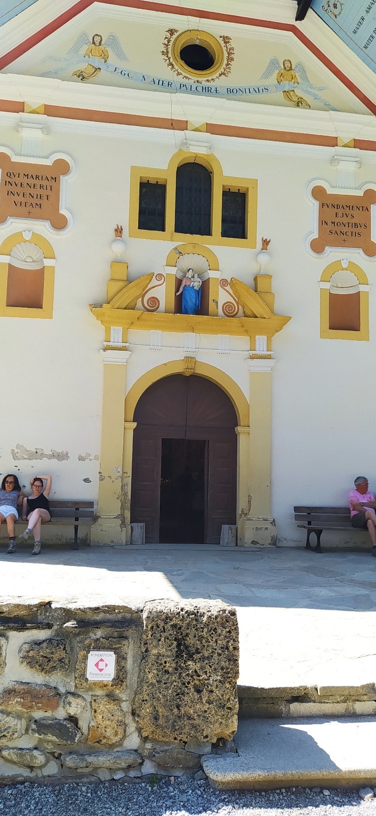
Descente tranquille depuis la Sololieu jusqu'au Pont Romain puis plus raide jusqu'à Notre Dame de la Gorge.
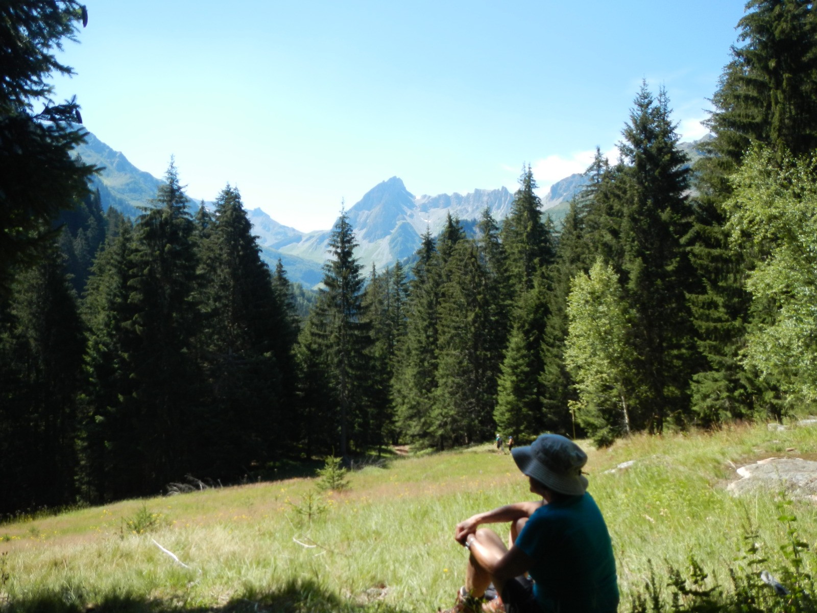
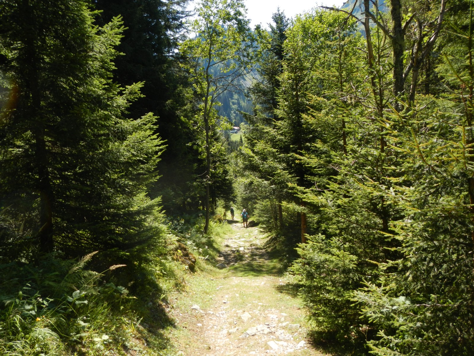
Retour au Cugnon par une promenade horizontale le long du torrent du Bon Nant.
 Actions
8.9 km

+379 m
/-359 m
03:36

Cliquez pour activer


Cliquez et déplacez la souris sur le profil pour analyser un tronçon (2 doigts sur mobile)
 Photos
Commentaires
Pas encore de commentaire, connectez-vous pour en ajouter un.
Connectez-vous pour ajouter un commentaire
Longueur et nombre de points

8.88 km

1141 pts
Denivelé et altitude
Calculés avec un seuil de 10 mètres et un lissage sur 5 points

378 m

359 m

1490 m

1198 m

1348 m
Date et durée

09 août 2020
09:43

09 août 2020
16:08

06:25:26

03:36:20

02:49:06
Vitesses et denivelés horaires

2.5 km/h
Détail »

5.3 km/h
au km 8.4

243 m/h
1h26m34s

-223 m/h
1h22m10s
| km | Temps | Vitesse | Pause |
|---|
| 1 | 48'10" | 1.2 km/h | 03'07" |
| 2 | 28'12" | 2.1 km/h | 03'55" |
| 3 | 31'26" | 1.9 km/h | 90'53" |
| 4 | 20'49" | 2.9 km/h | 52'14" |
| 5 | 20'00" | 3 km/h | 01'43" |
| 6 | 22'30" | 2.7 km/h | |
| 7 | 19'12" | 3.1 km/h | 16'27" |
| 8 | 14'21" | 4.2 km/h | |
Dépense calorique (estimation)

438 Cal
122 Cal/h
Plus

Affichée 978 fois et téléchargée 63 fois depuis le 22.08.20 15:26
KME
13.9 kilomètres effort
Carte + Profil [Afficher un aperçu]
<iframe src="https://www.visugpx.com/aRxlRkbBdw?iframe" allowfullscreen style="border: 0;width: 100%; height: 540px;" loading="lazy" scrolling="no"></iframe>
Carte uniquement [Afficher un aperçu]
<iframe src="https://www.visugpx.com/aRxlRkbBdw?iframe&maponly" allowfullscreen style="border: 0;width: 100%; height: 540px;" loading="lazy" scrolling="no"></iframe>


 ForumsToposLes plus belles randosSegments
 Offre Premium
 Connexion


 49
49 94
94 37 [Légende]


