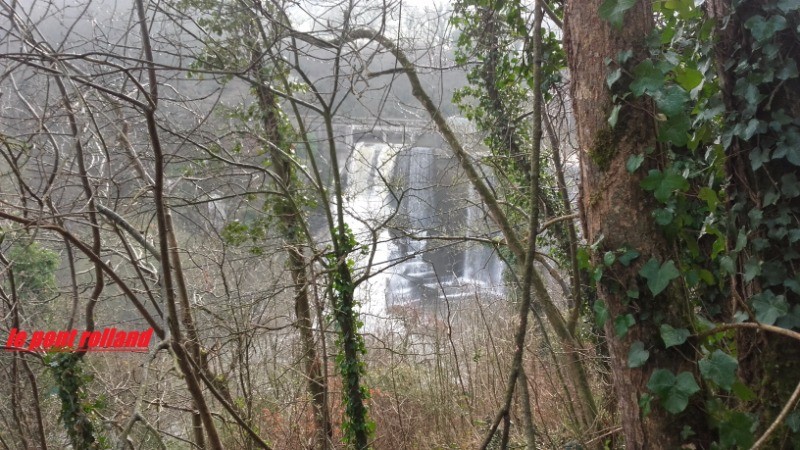
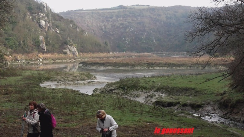
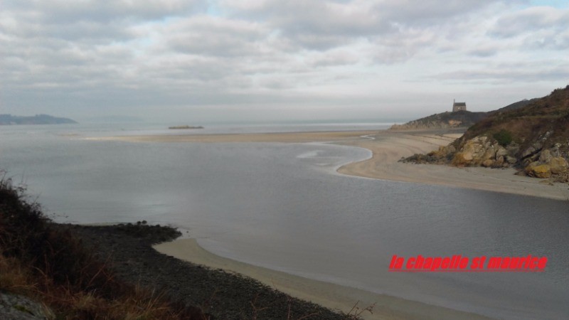
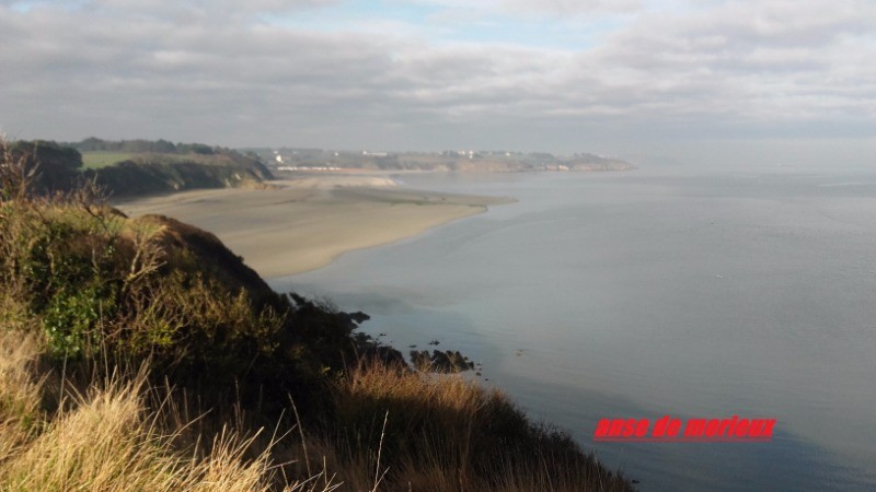
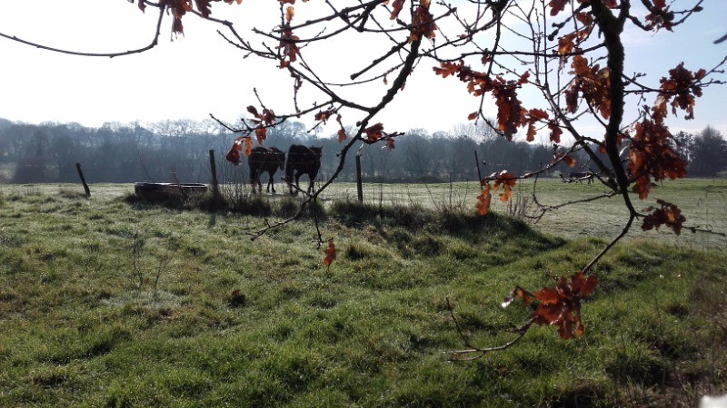
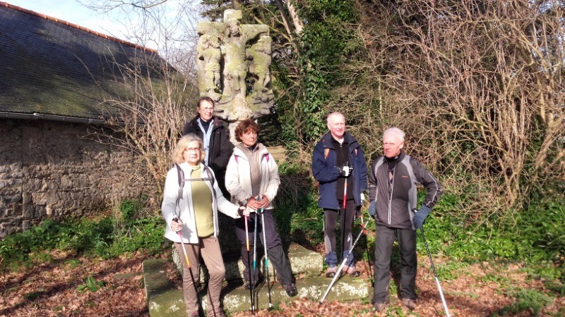
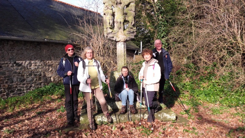
depart du parking du viaduc,suivre le gouessant,le pont rolland,plage de granville,mlage bon abri,la ville brehaut,la vieille croix,lermeleu,la ville indeloup, le viaduc
 Actions
10.8 km

+215 m
/-210 m
02:25

Cliquez pour activer


Cliquez et déplacez la souris sur le profil pour analyser un tronçon (2 doigts sur mobile)
 Photos
Commentaires

Par
tom22 le 17.02.17 19:15
une matinee ensoleillee
Connectez-vous pour ajouter un commentaire
Longueur et nombre de points

10.77 km

2490 pts
Denivelé et altitude
Calculés avec un seuil de 10 mètres et un lissage sur 5 points

214 m

210 m

75 m

1 m

34 m
Date et durée

17 février 2017
10:20

17 février 2017
12:58

02:37:48

02:25:12

00:12:36
Vitesses et denivelés horaires

4.4 km/h
Détail »

6.7 km/h
au km 6.3

253 m/h
0h33m15s

-313 m/h
0h31m16s
| km | Temps | Vitesse | Pause |
|---|
| 1 | 16'16" | 3.7 km/h | |
| 2 | 15'26" | 3.9 km/h | |
| 3 | 16'48" | 3.6 km/h | 02'56" |
| 4 | 13'38" | 4.4 km/h | 03'05" |
| 5 | 13'40" | 4.4 km/h | 02'51" |
| 6 | 13'55" | 4.3 km/h | |
| 7 | 12'19" | 4.9 km/h | 01'53" |
| 8 | 12'14" | 4.9 km/h | |
| 9 | 10'36" | 5.7 km/h | |
| 10 | 11'29" | 5.2 km/h | 01'51" |
Dépense calorique (estimation)

297 Cal
123 Cal/h
Plus

Affichée 2015 fois et téléchargée 126 fois depuis le 07.04.20 15:25
KME
13.6 kilomètres effort
Carte + Profil [Afficher un aperçu]
<iframe src="https://www.visugpx.com/YPSflMt3lr?iframe" allowfullscreen style="border: 0;width: 100%; height: 540px;" loading="lazy" scrolling="no"></iframe>
Carte uniquement [Afficher un aperçu]
<iframe src="https://www.visugpx.com/YPSflMt3lr?iframe&maponly" allowfullscreen style="border: 0;width: 100%; height: 540px;" loading="lazy" scrolling="no"></iframe>


 ForumsToposLes plus belles randosSegments
 Offre Premium
 Connexion


 32
32 48
48 14 [Légende]


