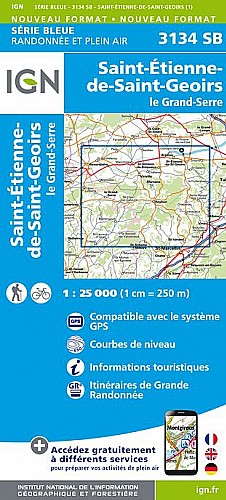
Départ du parking de la salle Carrousel à St Siméon de Bressieux (près de la mairie).On part au Sud, direction le Charpenay, A le Clavel on bifurque à l'Ouest pour aller jusqu'à l'étang de la Combe Bajat. Direction les étangs de Bressieux puis celui des Essarts, où l'on peut faire la pause casse-croûte. Retour par St Pierre de Bressieux puis le château de Bressieux.
 Actions
18 km

+440 m/-439 m

±05:45

Cliquez pour activer

Cliquez et déplacez la souris sur le profil pour analyser un tronçon (2 doigts sur mobile)
Commentaires
Pas encore de commentaire, connectez-vous pour en ajouter un.
Connectez-vous pour ajouter un commentaire
Longueur et nombre de points

18.17 km

1177 pts
Denivelé et altitude
Calculés avec un seuil de 10 mètres et un lissage sur 5 points

439 m

439 m

640 m

388 m

535 m
Plus

Affichée 291 fois et téléchargée 17 fois depuis le 07.04.20 15:25
Carte + Profil [Afficher un aperçu]
<iframe src="https://www.visugpx.com/UwjrLYpJo8?iframe" allowfullscreen style="border: 0;width: 100%; height: 540px;" scrolling="no"></iframe>
Carte uniquement [Afficher un aperçu]
<iframe src="https://www.visugpx.com/UwjrLYpJo8?iframe&maponly" allowfullscreen style="border: 0;width: 100%; height: 540px;" scrolling="no"></iframe>

Nous avons pris en compte votre choix.
Vous souhaitez maîtriser les informations qui peuvent être recueillies lors de votre navigation et avez refusé les cookies de personnalisation des annonces, c'est légitime.
Parce que le service fourni par VisuGPX a un coût, accepteriez-vous quand même que nous utilisions des cookies pour vous présenter des annonces non personnalisées ? Ces cookies ne sont pas des cookies de tracking mais de simples des cookies techniques de diffusion qui garantissent le respect votre vie privée.


 Actions
  18 km
18 km +440 m/-439 m
 ±05:45
 Cliquez et déplacez la souris sur le profil pour analyser un tronçon (2 doigts sur mobile)
 66
66 119
119 51 [Légende]
 Pour soutenir VisuGPX, faites le bon choix