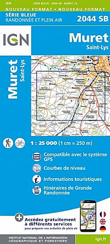
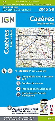
De POUCHARRAMET à BERAT, le sentier du Touch.
Ce sentier a été élaboré par les jeunes de Bérat
c'est un sentier de valorisation du patrimoine local qu'il soit naturel ou bâti permettant en premier lieu de faire découvrir ou redécouvrir aux jeunes les richesses de leur territoire et en deuxième lieu d'ouvrir ce sentier au grand public favorisant la promenade et la sensibilisation à la nature. Enfin, c'est un projet citoyen et d'intérêt général qui favorise la découverte par la mise en pratique (création de sentier) et la sensibilisation à la biodiversité par des panneaux pédagogiques qui seront mis en place tout au long du chemin
voir site http://association3pa.wixsite.com/sentierdutouch/sentier-poucharramet-lherm
 Actions
6 km

+34 m/-43 m

02:00

Cliquez pour activer


Cliquez et déplacez la souris sur le profil pour analyser un tronçon (2 doigts sur mobile)
Détails
voir rando 
Commentaires
Pas encore de commentaire, connectez-vous pour en ajouter un.
Connectez-vous pour ajouter un commentaire
Longueur et nombre de points

6.1 km

553 pts
Denivelé et altitude
Calculés avec un seuil de 10 mètres et un lissage sur 5 points

33 m

43 m

234 m

191 m

205 m
Date et durée

31 décembre 2017
14:38

31 décembre 2017
16:44

02:06:23

02:00:16

00:06:07
Vitesses et denivelés horaires

3 km/h
Détail »

5.6 km/h
au km 1.1

221 m/h
0h07m31s

-205 m/h
0h09m49s
| km | Temps | Vitesse | Pause |
|---|
| 1 | 13'50" | 4.3 km/h | |
| 2 | 15'15" | 3.9 km/h | |
| 3 | 25'57" | 2.3 km/h | |
| 4 | 26'00" | 2.3 km/h | |
| 5 | 20'46" | 2.9 km/h | 04'02" |
| 6 | 16'39" | 3.6 km/h | 02'05" |
Dépense calorique (estimation)

66 Cal
33 Cal/h
Plus

Affichée 1708 fois et téléchargée 130 fois depuis le 07.04.20 15:25
Carte + Profil [Afficher un aperçu]
<iframe src="https://www.visugpx.com/SeWCYU5KiB?iframe" allowfullscreen style="border: 0;width: 100%; height: 540px;" scrolling="no"></iframe>
Carte uniquement [Afficher un aperçu]
<iframe src="https://www.visugpx.com/SeWCYU5KiB?iframe&maponly" allowfullscreen style="border: 0;width: 100%; height: 540px;" scrolling="no"></iframe>


Nous avons pris en compte votre choix.
Vous souhaitez maîtriser les informations qui peuvent être recueillies lors de votre navigation et avez refusé les cookies de personnalisation des annonces, c'est légitime.
Parce que le service fourni par VisuGPX a un coût, accepteriez-vous quand même que nous utilisions des cookies pour vous présenter des annonces non personnalisées ? Ces cookies ne sont pas des cookies de tracking mais de simples des cookies techniques de diffusion qui garantissent le respect votre vie privée.


 Actions
  6 km
6 km +34 m/-43 m
 02:00
02:00

 Cliquez et déplacez la souris sur le profil pour analyser un tronçon (2 doigts sur mobile)

 19
19 26
26 5 [Légende]

 Pour soutenir VisuGPX, faites le bon choix