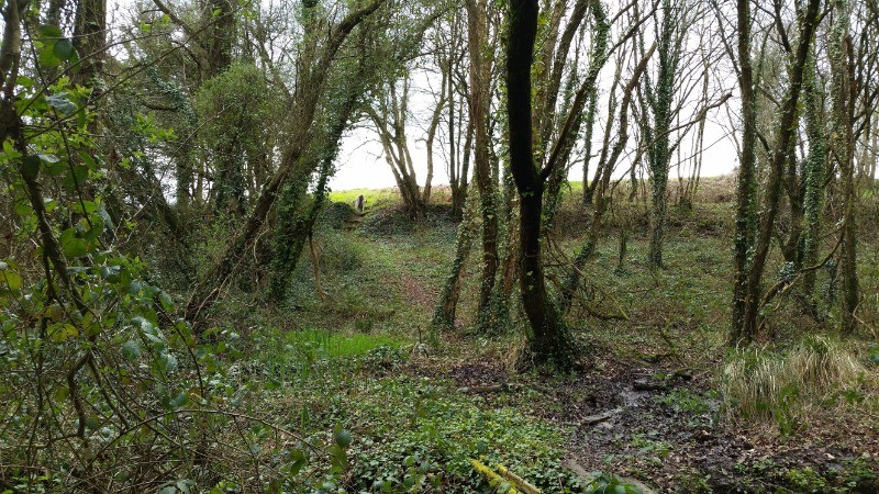
Départ Moulin du Richard Plaintel . Suivre le balisage vert en direction de L'Hôpital , continuer et tourner à droite . A St Eloy , suivre le chemin , touner à droite au Bas Bourg , suivre le balisage pour rejoindre la Vallée du Gouët , tourner à droite et continuer pour rejoindre Le Moulin Du Richard .
PS : La Croix de St Eloy : Croix mérovingienne dont la partie haute a été retrouvée en 1986 . Un pied , taillé dans un bloc de pierre semblable lui redonne son aspect original .
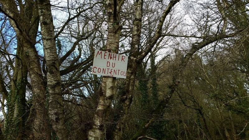
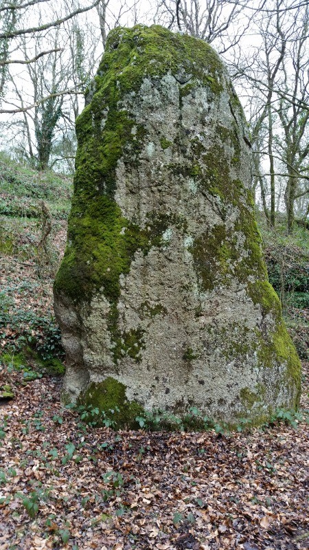
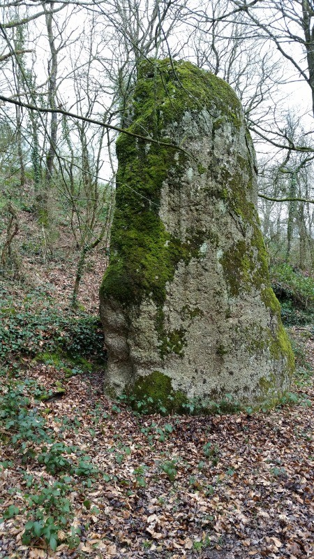
A voir le Menhir du Contentou .
En cliquant sur "accepter" vous autorisez l'utilisation de cookies à usage technique nécessaires au bon fonctionnement du site, ainsi que l'utilisation d'autres cookies (éventuellement tiers) à des fins statistiques ou de personnalisation des annonces pour vous proposer des services et des offres adaptées à vos centres d'interêt.
Vous pouvez à tout moment modifier ce choix ou obtenir des informations sur ces cookies sur la page des conditions générales d'utilisation du service :
 ForumsToposLes plus belles randosSegments
 Offre Premium
 Connexion


 7.4 km
 +
+ 02:32
02:32