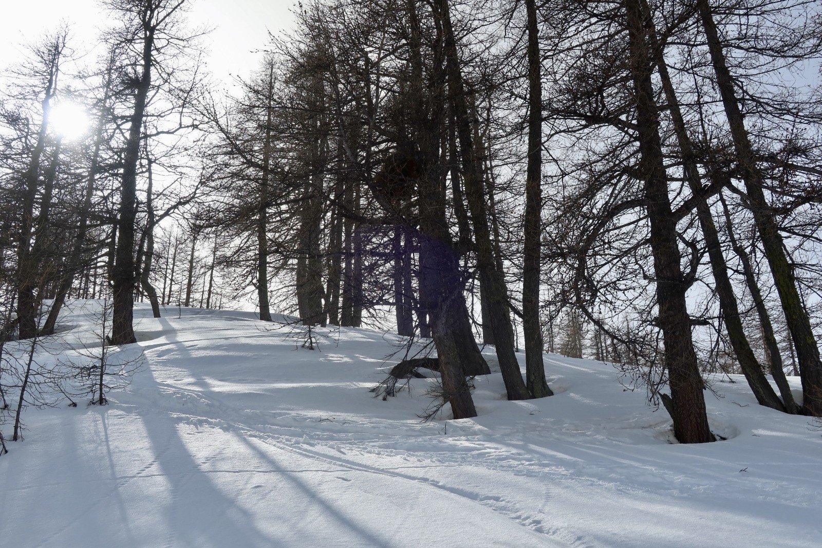
Le départ se fait à Auron à la balise 5, parking le long du GR5 qui suit la route en haut de la station.
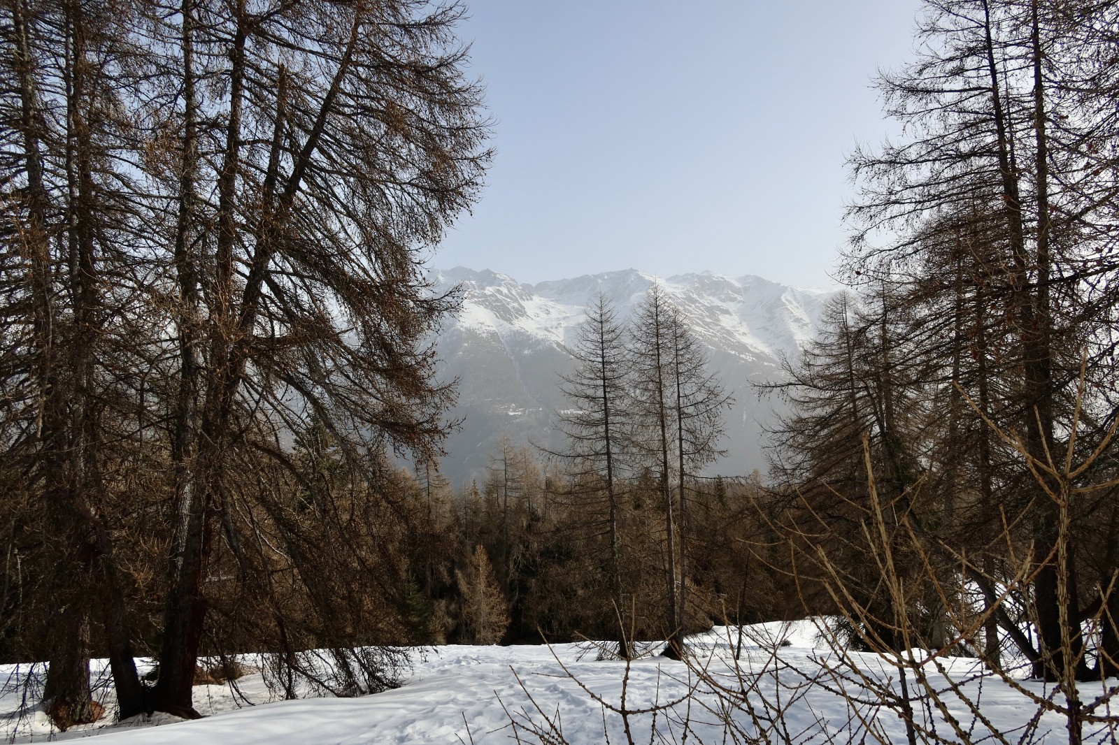
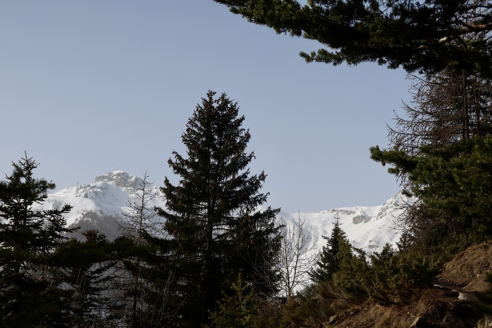
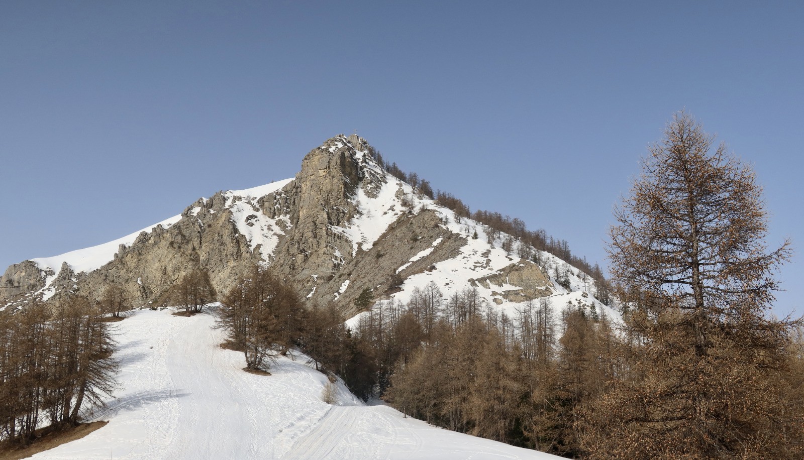
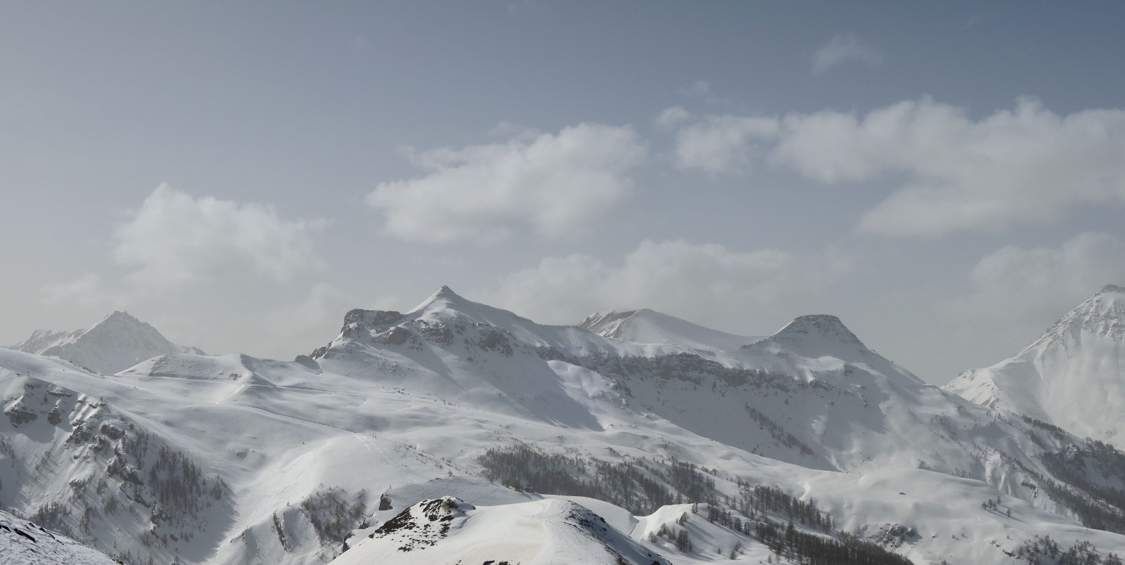
Monter sur l'arrivée de la piste et prendre à gauche (balise en direction du puy d'Auron) et arriver au puy d' Auron pour monter au sommet d'Auron puis en empruntant la piste de ski arriver à la cime de Bercha avec son magnifique panorama sur le Mercantour . Redescendre pour aller sur le croix de Bercha et rejoindre le point de départ .
 Actions
7.3 km

+582 m
/-589 m
03:09

Cliquez pour activer


Cliquez et déplacez la souris sur le profil pour analyser un tronçon (2 doigts sur mobile)
 Photos
Commentaires
Pas encore de commentaire, connectez-vous pour en ajouter un.
Connectez-vous pour ajouter un commentaire
Longueur et nombre de points

7.33 km

686 pts
Denivelé et altitude
Calculés avec un seuil de 10 mètres et un lissage sur 5 points

581 m

590 m

2275 m

1685 m

1950 m
Date et durée

23 février 2021
09:17

23 février 2021
15:05

05:48:12

03:09:26

02:38:46
Vitesses et denivelés horaires

2.3 km/h
Détail »

4.2 km/h
au km 6.2

342 m/h
1h40m37s

-418 m/h
1h19m18s
| km | Temps | Vitesse | Pause |
|---|
| 1 | 27'08" | 2.2 km/h | 13'09" |
| 2 | 25'07" | 2.4 km/h | 09'16" |
| 3 | 26'59" | 2.2 km/h | 07'45" |
| 4 | 30'22" | 2 km/h | 87'56" |
| 5 | 30'59" | 1.9 km/h | 08'21" |
| 6 | 21'23" | 2.8 km/h | 16'48" |
| 7 | 20'09" | 3 km/h | 15'31" |
Dépense calorique (estimation)

428 Cal
135 Cal/h
Plus

Affichée 731 fois et téléchargée 83 fois depuis le 24.02.21 07:57
KME
15.1 kilomètres effort
Carte + Profil [Afficher un aperçu]
<iframe src="https://www.visugpx.com/LHyel7pfrT?iframe" allowfullscreen style="border: 0;width: 100%; height: 540px;" loading="lazy" scrolling="no"></iframe>
Carte uniquement [Afficher un aperçu]
<iframe src="https://www.visugpx.com/LHyel7pfrT?iframe&maponly" allowfullscreen style="border: 0;width: 100%; height: 540px;" loading="lazy" scrolling="no"></iframe>


 ForumsToposLes plus belles randosSegments
 Offre Premium
 Connexion


 78
78 173
173 46 [Légende]


