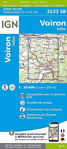
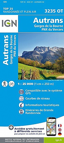
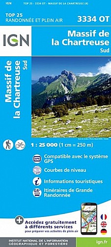
Départ Monastère de Chalais se rendre au rocher de Bellevue puis l'aiguille de Chalais. Câble pour aider à grimper les 10m escarpés au besoin.
Retour par un sentier en sous bois et petit tour du monastère
 Actions
4 km

+234 m/-234 m

±01:30

Cliquez pour activer

Cliquez et déplacez la souris sur le profil pour analyser un tronçon (2 doigts sur mobile)
Détails
Très jolie vue le Vercors avec le Moucherotte qui s'en détache. Au loin le Taillefer.
Le rocher du Lorzier surplombe le monastère... il y' a de quoi s'en mettre plein la vue pour très peu d'effort!
Commentaires
Pas encore de commentaire, connectez-vous pour en ajouter un.
Connectez-vous pour ajouter un commentaire
Longueur et nombre de points

3.99 km

404 pts
Denivelé et altitude
Calculés avec un seuil de 10 mètres et un lissage sur 5 points

233 m

234 m

1050 m

925 m

964 m
Plus

Affichée 653 fois et téléchargée 36 fois depuis le 23.04.17 14:02
Carte + Profil [Afficher un aperçu]
<iframe src="https://www.visugpx.com/IzpixrXkUt?iframe" allowfullscreen style="border: 0;width: 100%; height: 540px;" scrolling="no"></iframe>
Carte uniquement [Afficher un aperçu]
<iframe src="https://www.visugpx.com/IzpixrXkUt?iframe&maponly" allowfullscreen style="border: 0;width: 100%; height: 540px;" scrolling="no"></iframe>


Nous avons pris en compte votre choix.
Vous souhaitez maîtriser les informations qui peuvent être recueillies lors de votre navigation et avez refusé les cookies de personnalisation des annonces, c'est légitime.
Parce que le service fourni par VisuGPX a un coût, accepteriez-vous quand même que nous utilisions des cookies pour vous présenter des annonces non personnalisées ? Ces cookies ne sont pas des cookies de tracking mais de simples des cookies techniques de diffusion qui garantissent le respect votre vie privée.


 Actions
  4 km
4 km +234 m/-234 m
 ±01:30
 Cliquez et déplacez la souris sur le profil pour analyser un tronçon (2 doigts sur mobile)
 29
29 53
53 18 [Légende]


 Pour soutenir VisuGPX, faites le bon choix