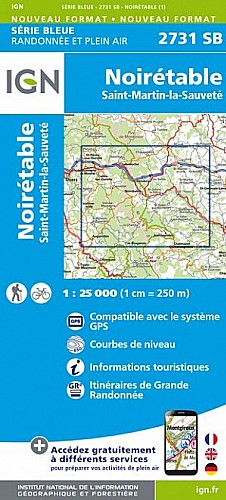
Randonnée assez longue mais pas très difficile (19km pour 600m de dénivelée) au départ de Chalmazel.
La randonnée monte tranquillement mais surement au col du Béal par les hameaux de Nermond, Pré Martin, puis passe au buron de Fossat, et aux lieux-dits des Deux Boules et de Puy Gros, puis, après une pause pour admirer le paysage au col du Béal, redescend jusqu'à Chalmazel en passant par le refuge de Chapouilloux et le hameau du Supt.
 Actions
18 km

+594 m/-627 m

±06:00

Cliquez pour activer

Cliquez et déplacez la souris sur le profil pour analyser un tronçon (2 doigts sur mobile)
Commentaires
Pas encore de commentaire, connectez-vous pour en ajouter un.
Connectez-vous pour ajouter un commentaire
Longueur et nombre de points

18.38 km

299 pts
Denivelé et altitude
Calculés avec un seuil de 10 mètres et un lissage sur 3 points (corrigé car densité de points faible)

593 m

627 m

1416 m

860 m

1170 m
Plus

Affichée 2118 fois et téléchargée 111 fois depuis le 19.07.16 12:02
Carte + Profil [Afficher un aperçu]
<iframe src="https://www.visugpx.com/Ix0J3oNeFJ?iframe" allowfullscreen style="border: 0;width: 100%; height: 540px;" scrolling="no"></iframe>
Carte uniquement [Afficher un aperçu]
<iframe src="https://www.visugpx.com/Ix0J3oNeFJ?iframe&maponly" allowfullscreen style="border: 0;width: 100%; height: 540px;" scrolling="no"></iframe>


Nous avons pris en compte votre choix.
Vous souhaitez maîtriser les informations qui peuvent être recueillies lors de votre navigation et avez refusé les cookies de personnalisation des annonces, c'est légitime.
Parce que le service fourni par VisuGPX a un coût, accepteriez-vous quand même que nous utilisions des cookies pour vous présenter des annonces non personnalisées ? Ces cookies ne sont pas des cookies de tracking mais de simples des cookies techniques de diffusion qui garantissent le respect votre vie privée.


 Actions
  18 km
18 km +594 m/-627 m
 ±06:00
 Cliquez et déplacez la souris sur le profil pour analyser un tronçon (2 doigts sur mobile)
 70
70 132
132 56 [Légende]

 Pour soutenir VisuGPX, faites le bon choix