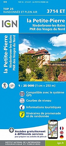
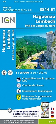
Départ à Niederbronn du parking Place du Roi de Rome ; vers Maison forestière de Reisberg, Fontaine Mandel, Couvent d?Oberbronn, Belvédère Bueckelstein, Tour du Wasenkoepfel, Col de l?Ungerthal, Forêt du Reisberg et Carrefour Kreuztannen, Place des Sorcières, Roches cupules, Jardin des Fées, Château de Wasenbourg (Repas tiré du sac).
Suite vers Fontaine Graebelsbrunnen, Maison forestière de Reisberg puis retour vers parking Place du Roi de Rome.
Photos : https://photos.app.goo.gl/rnj9RyLXnLmh1GGj7
 Actions
13 km

+458 m/-459 m

04:15

Cliquez pour activer


Cliquez et déplacez la souris sur le profil pour analyser un tronçon (2 doigts sur mobile)
Commentaires
Pas encore de commentaire, connectez-vous pour en ajouter un.
Connectez-vous pour ajouter un commentaire
Longueur et nombre de points

12.52 km

593 pts
Denivelé et altitude
Calculés avec un seuil de 10 mètres et un lissage sur 5 points

458 m

460 m

528 m

210 m

391 m
Date et durée

07 juillet 2019
18:02

07 juillet 2019
22:14

04:11:53
Vitesses et denivelés horaires

3 km/h
Détail »

3.1 km/h
au km 0.5

298 m/h
1h27m07s

-263 m/h
1h33m22s
| km | Temps | Vitesse | Pause |
|---|
| 1 | 20'06" | 3 km/h | |
| 2 | 20'07" | 3 km/h | |
| 3 | 20'01" | 3 km/h | |
| 4 | 20'23" | 2.9 km/h | |
| 5 | 20'13" | 3 km/h | |
| 6 | 20'03" | 3 km/h | |
| 7 | 20'00" | 3 km/h | |
| 8 | 20'11" | 3 km/h | |
| 9 | 20'03" | 3 km/h | |
| 10 | 19'51" | 3 km/h | |
| 11 | 20'02" | 3 km/h | |
| 12 | 20'25" | 2.9 km/h | |
Dépense calorique (estimation)

401 Cal
96 Cal/h
Plus

Affichée 1206 fois et téléchargée 93 fois depuis le 07.04.20 15:25
Carte + Profil [Afficher un aperçu]
<iframe src="https://www.visugpx.com/G91k822uJ2?iframe" allowfullscreen style="border: 0;width: 100%; height: 540px;" scrolling="no"></iframe>
Carte uniquement [Afficher un aperçu]
<iframe src="https://www.visugpx.com/G91k822uJ2?iframe&maponly" allowfullscreen style="border: 0;width: 100%; height: 540px;" scrolling="no"></iframe>


Nous avons pris en compte votre choix.
Vous souhaitez maîtriser les informations qui peuvent être recueillies lors de votre navigation et avez refusé les cookies de personnalisation des annonces, c'est légitime.
Parce que le service fourni par VisuGPX a un coût, accepteriez-vous quand même que nous utilisions des cookies pour vous présenter des annonces non personnalisées ? Ces cookies ne sont pas des cookies de tracking mais de simples des cookies techniques de diffusion qui garantissent le respect votre vie privée.


 Actions
  13 km
13 km +458 m/-459 m
 04:15
04:15

 Cliquez et déplacez la souris sur le profil pour analyser un tronçon (2 doigts sur mobile)
 61
61 121
121 71 [Légende]

 Pour soutenir VisuGPX, faites le bon choix