
Cliquez pour activer


Cliquez et déplacez la souris sur le profil pour analyser un tronçon (2 doigts sur mobile)
Détails
 Rando Club Yerrois
Date
Rando Club Yerrois
Date : Dimanche 23 avril 2017
Animateur : Pascal sous tutorat Roland
Groupe : 30
Effectif : 6
Remarque particulière : Temps ensoleillé, chemin très secs
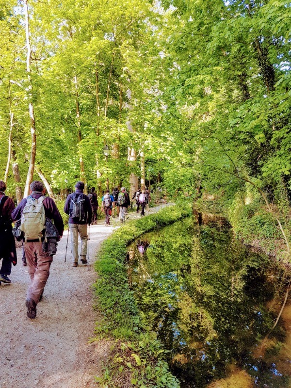
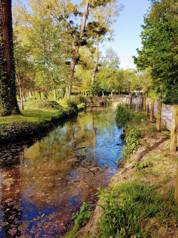
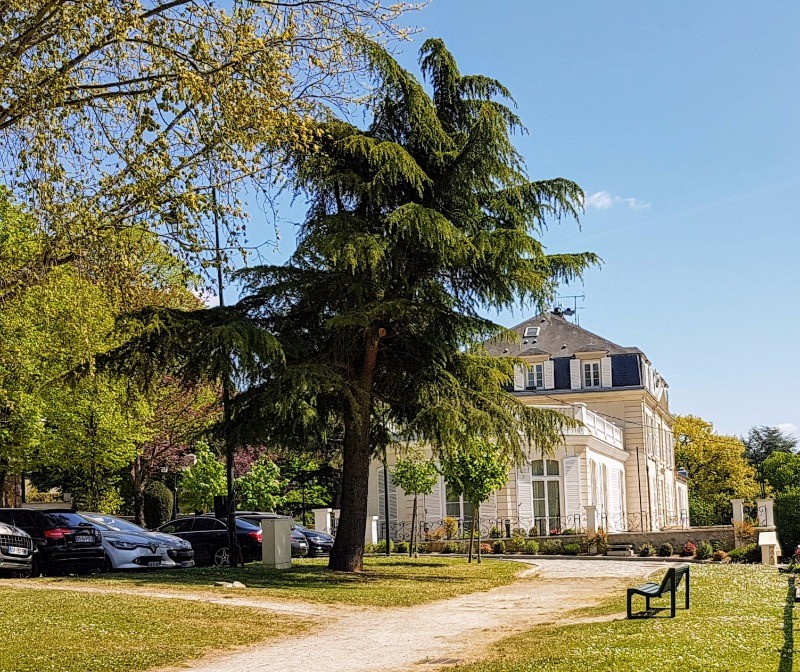
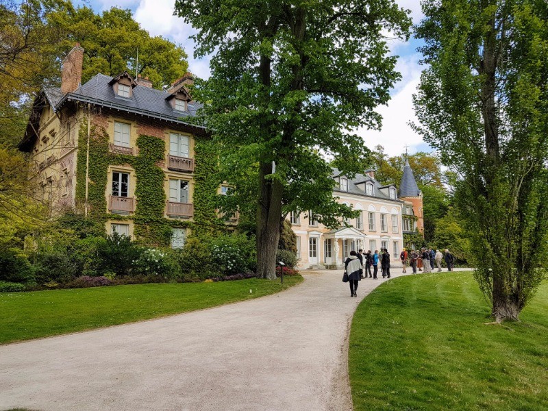
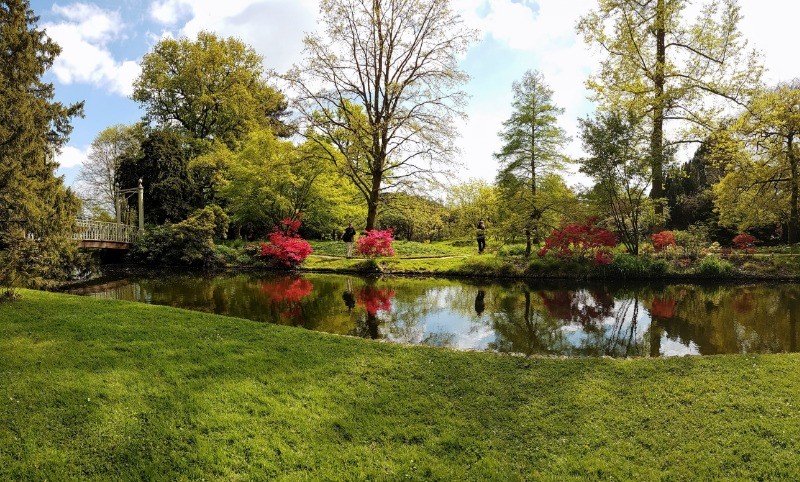
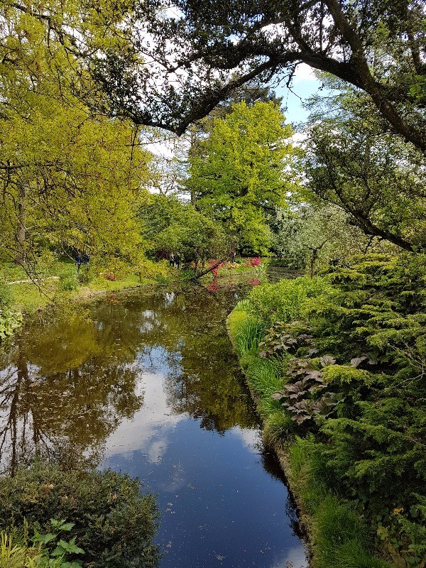
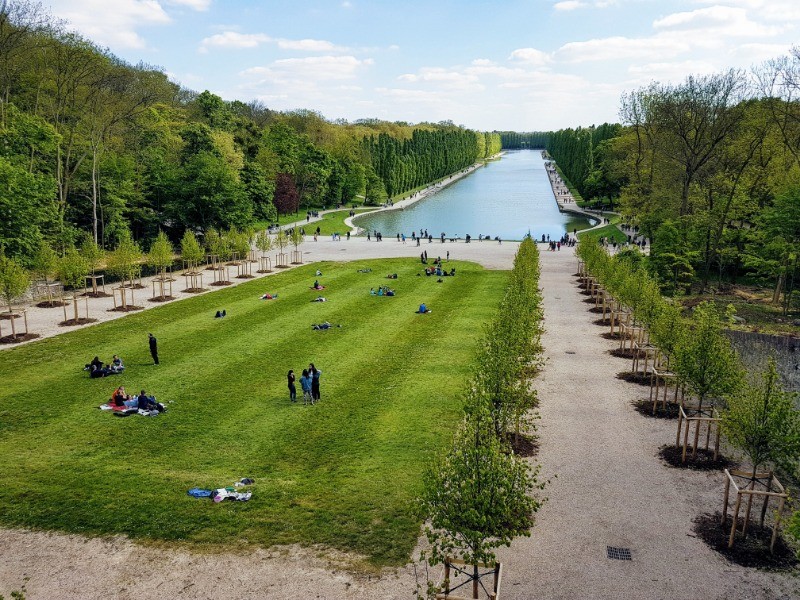
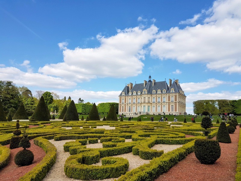
Parcs publics, foret, cours d'eau
chateau de Sceaux maison de Chateaubriand, arboretum de la Vallée des Loups
Avertissement Toutes les randonnées répertoriées dans la randothèque du
Rando
Club
Yerrois ont été tracées par l'un de nos animateurs, puis reconnues et enfin effectuées avec un groupe. Pour votre sécurité, regardez toujours la date à laquelle la sortie a été effectuée - Nous tachons de mentionner des conditions météos particulières ou les difficultés éventuelles. N'oubliez jamais les consignes élémentaires de sécurité.
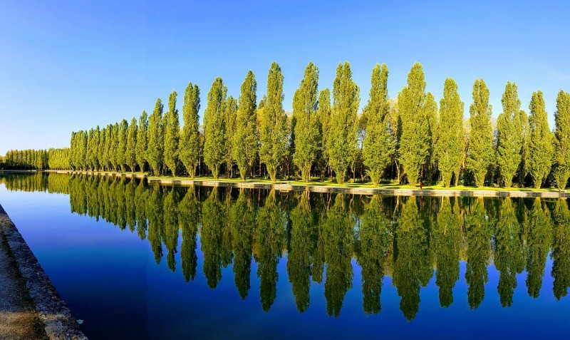
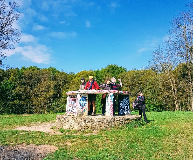
 Photos
Commentaires
Pas encore de commentaire, connectez-vous pour en ajouter un.
Connectez-vous pour ajouter un commentaire
Longueur et nombre de points

29.8 km

1799 pts
Denivelé et altitude
Calculés avec un seuil de 10 mètres et un lissage sur 5 points

276 m

283 m

221 m

100 m

155 m
Date et durée

23 avril 2017
08:41

23 avril 2017
16:50

08:08:35

06:49:35

01:19:00
Vitesses et denivelés horaires

4.4 km/h
Détail »

8.4 km/h
au km 10

249 m/h
0h44m55s

-232 m/h
0h44m29s
| km | Temps | Vitesse | Pause |
|---|
| 1 | 11'51" | 5.1 km/h | |
| 2 | 12'34" | 4.8 km/h | 01'40" |
| 3 | 13'33" | 4.4 km/h | |
| 4 | 14'27" | 4.2 km/h | |
| 5 | 13'08" | 4.6 km/h | |
| 6 | 12'27" | 4.8 km/h | |
| 7 | 15'16" | 3.9 km/h | |
| 8 | 14'23" | 4.2 km/h | |
| 9 | 10'32" | 5.7 km/h | 13'46" |
| 10 | 13'11" | 4.5 km/h | |
| 11 | 10'25" | 5.8 km/h | |
| 12 | 12'51" | 4.7 km/h | |
| 13 | 12'31" | 4.8 km/h | |
| 14 | 15'06" | 4 km/h | |
| 15 | 11'22" | 5.3 km/h | |
| 16 | 11'20" | 5.3 km/h | |
| 17 | 13'09" | 4.6 km/h | |
| 18 | 18'30" | 3.2 km/h | 48'05" |
| 19 | 12'53" | 4.7 km/h | |
| 20 | 13'56" | 4.3 km/h | |
| 21 | 13'12" | 4.5 km/h | 02'33" |
| 22 | 13'14" | 4.5 km/h | |
| 23 | 14'59" | 4 km/h | |
| 24 | 15'01" | 4 km/h | 07'39" |
| 25 | 13'15" | 4.5 km/h | |
| 26 | 18'04" | 3.3 km/h | 05'17" |
| 27 | 17'20" | 3.5 km/h | |
| 28 | 13'02" | 4.6 km/h | |
| 29 | 12'40" | 4.7 km/h | |
Dépense calorique (estimation)

542 Cal
79 Cal/h
Plus

Affichée 1942 fois et téléchargée 131 fois depuis le 07.04.20 15:25
KME
33.5 kilomètres effort
Carte + Profil [Afficher un aperçu]
<iframe src="https://www.visugpx.com/DM58PlB2BV?iframe" allowfullscreen style="border: 0;width: 100%; height: 540px;" loading="lazy" scrolling="no"></iframe>
Carte uniquement [Afficher un aperçu]
<iframe src="https://www.visugpx.com/DM58PlB2BV?iframe&maponly" allowfullscreen style="border: 0;width: 100%; height: 540px;" loading="lazy" scrolling="no"></iframe>


 ForumsToposLes plus belles randosSegments
 Offre Premium
 Connexion


 81
81 118
118 25 [Légende]


 29.8 km
 +277 m
 06:49
06:49