Tour du bois du Lay.
 Actions
33 km

+214 m/-214 m

±03:00

Cliquez pour activer

Cliquez et déplacez la souris sur le profil pour analyser un tronçon (2 doigts sur mobile)
Détails
Rando en boucle au départ du parking de Méry-sur-oise ( rive gauche de l'Oise).
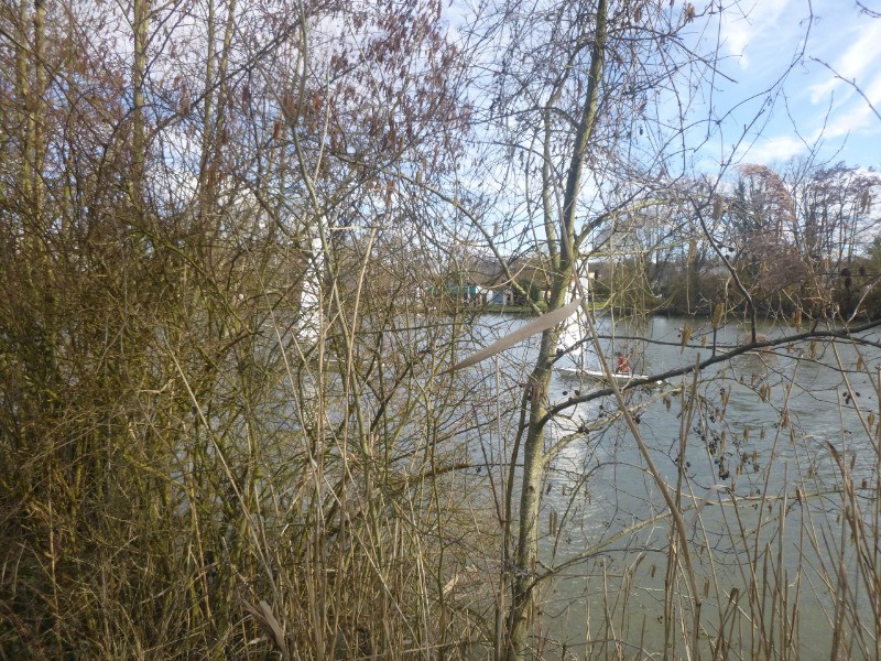
Retour par Champagne-sur-Oise et le long de l'Oise par le chemin de halage.
 Photos
Commentaires

Par
Lamomie95 le 12.03.18 12:09
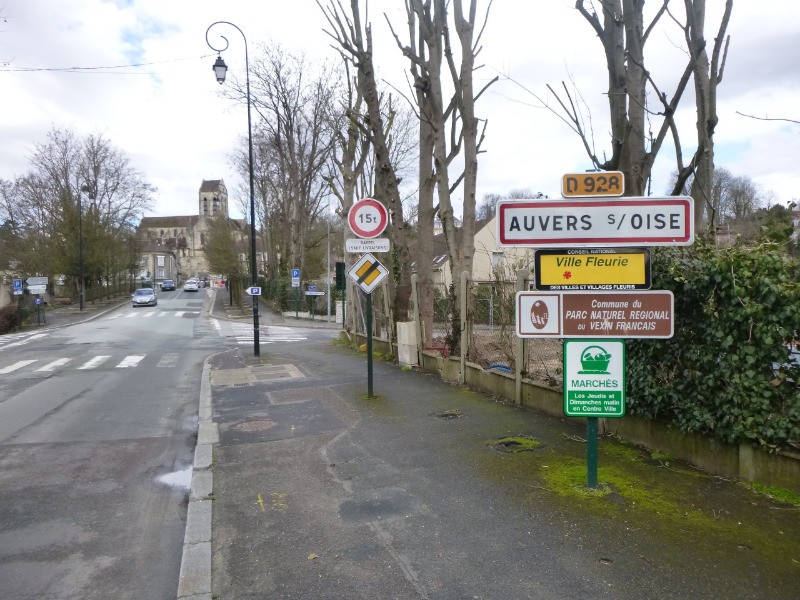
1 - Départ d' d'Auvers
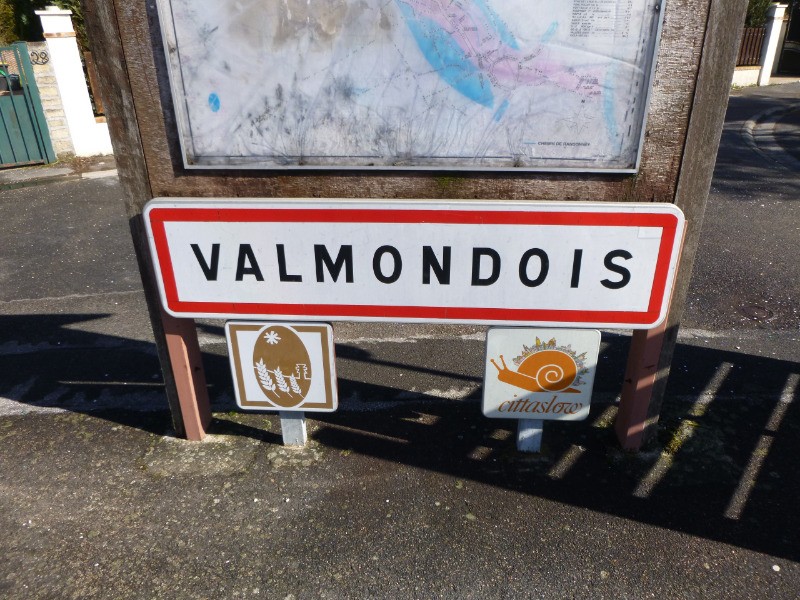
2 - Valmondois
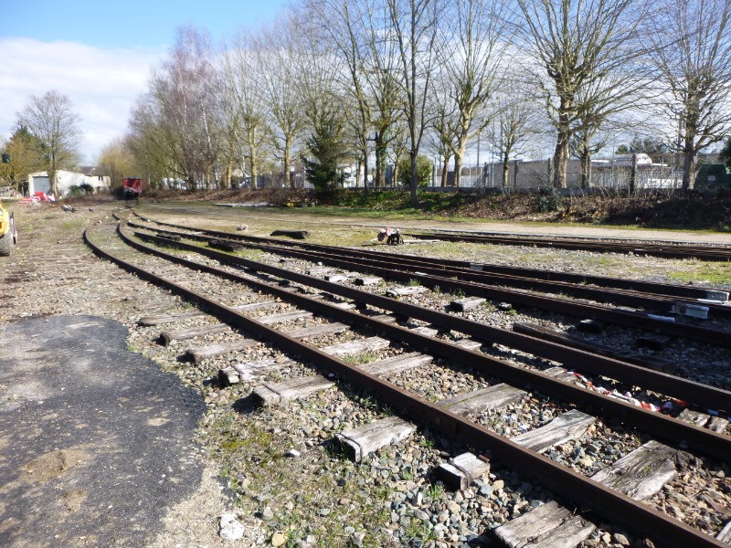
3 - Gare de Butry
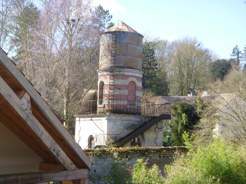
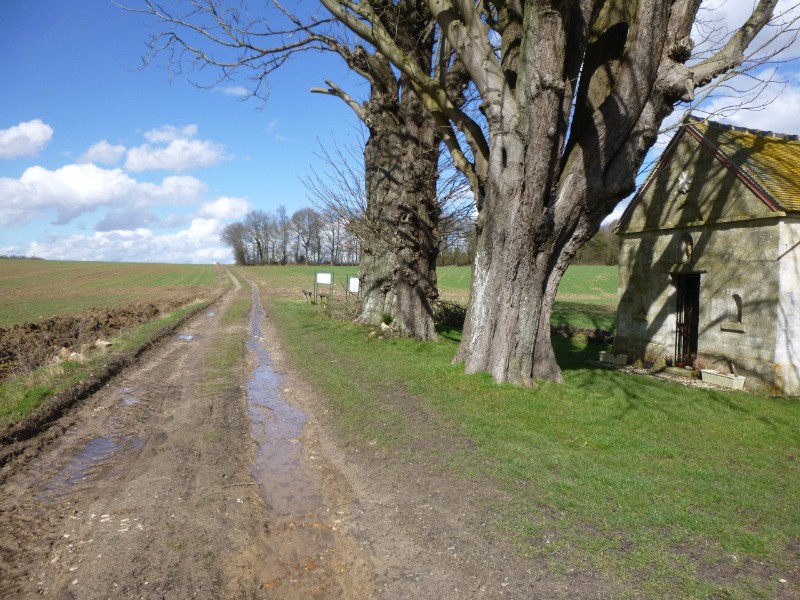
4 - réservoir d'eau
5 - Chapelle St Robert
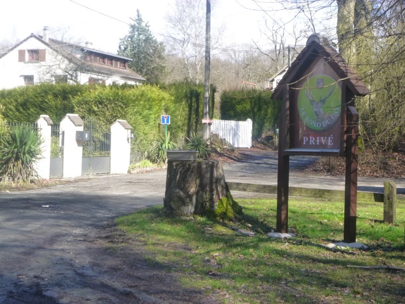
6 - Le Rond du Lys
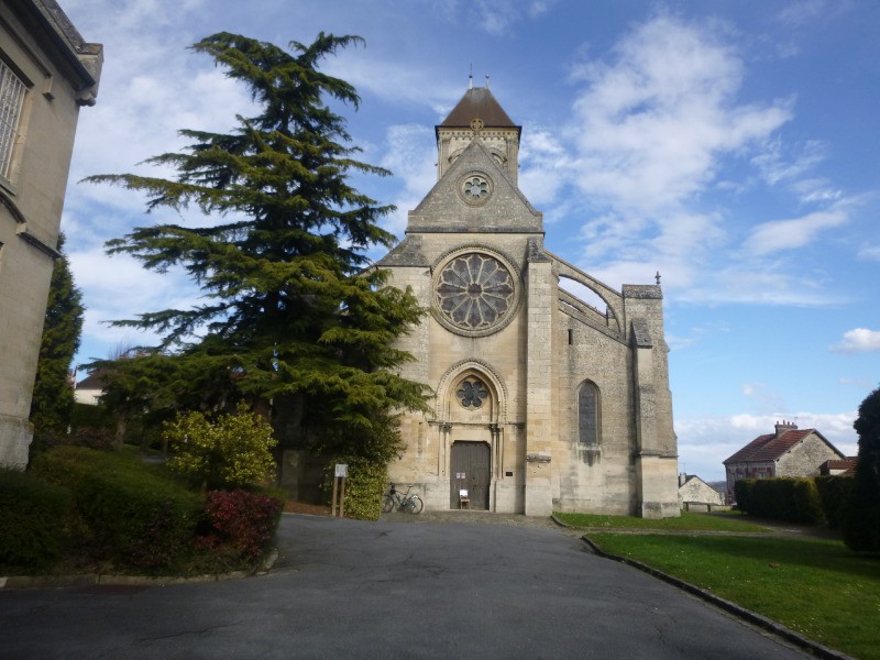
7 - Notre Dame de l' Assomption, Champagne
Connectez-vous pour ajouter un commentaire
Longueur et nombre de points

33.45 km

375 pts
Denivelé et altitude
Calculés sans seuil et un lissage sur 3 points (corrigé car densité de points faible)

213 m

215 m

170 m

23 m

62 m
Plus

Affichée 1263 fois et téléchargée 98 fois depuis le 12.03.18 11:47
Carte + Profil [Afficher un aperçu]
<iframe src="https://www.visugpx.com/CflpoRqqvU?iframe" allowfullscreen style="border: 0;width: 100%; height: 540px;" scrolling="no"></iframe>
Carte uniquement [Afficher un aperçu]
<iframe src="https://www.visugpx.com/CflpoRqqvU?iframe&maponly" allowfullscreen style="border: 0;width: 100%; height: 540px;" scrolling="no"></iframe>


Nous avons pris en compte votre choix.
Vous souhaitez maîtriser les informations qui peuvent être recueillies lors de votre navigation et avez refusé les cookies de personnalisation des annonces, c'est légitime.
Parce que le service fourni par VisuGPX a un coût, accepteriez-vous quand même que nous utilisions des cookies pour vous présenter des annonces non personnalisées ? Ces cookies ne sont pas des cookies de tracking mais de simples des cookies techniques de diffusion qui garantissent le respect votre vie privée.


 Cliquez et déplacez la souris sur le profil pour analyser un tronçon (2 doigts sur mobile)

 85
85 118
118 15 [Légende]

 Pour soutenir VisuGPX, faites le bon choix