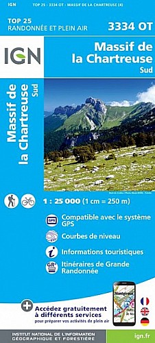
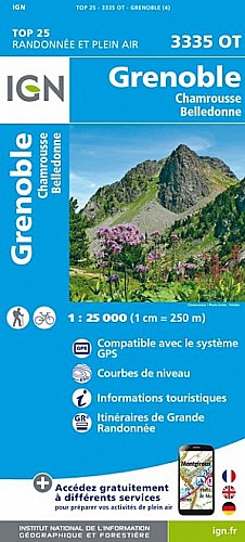
20 kms plutôt agréable sur du plat et dans les champs jusqu' à St Nazaire les Eymes puis quelques montées qui permettent de rejoindre St Ismier puis Montbonnot vilage
Descente amusante avec 4 ou 5 épingles à négocier
 Actions
19 km

+112 m/-115 m

±01:45

Cliquez pour activer

Cliquez et déplacez la souris sur le profil pour analyser un tronçon (2 doigts sur mobile)
Détails
Les , la partie bois français plutôt sympa on passe au bord des lacs. Les grands champs avec une vue magistrale sur Belledonne et sur la Dent de Crolles
à faire avec sa nana ;)
Commentaires
Pas encore de commentaire, connectez-vous pour en ajouter un.
Connectez-vous pour ajouter un commentaire
Longueur et nombre de points

19.2 km

840 pts
Denivelé et altitude
Calculés avec un seuil de 10 mètres et un lissage sur 5 points

111 m

116 m

329 m

218 m

251 m
Plus

Affichée 762 fois et téléchargée 21 fois depuis le 10.03.17 17:32
Carte + Profil [Afficher un aperçu]
<iframe src="https://www.visugpx.com/Bu9WMhaoZ8?iframe" allowfullscreen style="border: 0;width: 100%; height: 540px;" scrolling="no"></iframe>
Carte uniquement [Afficher un aperçu]
<iframe src="https://www.visugpx.com/Bu9WMhaoZ8?iframe&maponly" allowfullscreen style="border: 0;width: 100%; height: 540px;" scrolling="no"></iframe>


Nous avons pris en compte votre choix.
Vous souhaitez maîtriser les informations qui peuvent être recueillies lors de votre navigation et avez refusé les cookies de personnalisation des annonces, c'est légitime.
Parce que le service fourni par VisuGPX a un coût, accepteriez-vous quand même que nous utilisions des cookies pour vous présenter des annonces non personnalisées ? Ces cookies ne sont pas des cookies de tracking mais de simples des cookies techniques de diffusion qui garantissent le respect votre vie privée.


 Actions
  19 km
19 km +112 m/-115 m
 ±01:45
 Cliquez et déplacez la souris sur le profil pour analyser un tronçon (2 doigts sur mobile)
 51
51 74
74 11 [Légende]

 Pour soutenir VisuGPX, faites le bon choix