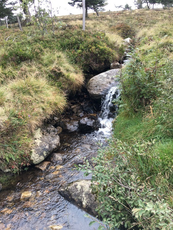
Une très belle randonnée à la journée depuis le Château de Chalmazel jusqu'au Col du Béal (1390 m). Elle est classée difficile en raison de sa longueur (20km) mais surtout du dénivelé (montée raide entre Le Supt et les abords du Col du Béal). A ne pas entreprendre par temps d'orage ou de brouillard : une partie de l'itinéraire passe par les Hautes Chaumes.
 Actions
18.5 km

+670 m
/-727 m
04:09

Cliquez pour activer


Cliquez et déplacez la souris sur le profil pour analyser un tronçon (2 doigts sur mobile)
 Photos
Commentaires
Pas encore de commentaire, connectez-vous pour en ajouter un.
Connectez-vous pour ajouter un commentaire
Longueur et nombre de points

18.48 km

3938 pts
Denivelé et altitude
Calculés avec un seuil de 10 mètres et un lissage sur 5 points

670 m

727 m

1437 m

854 m

1198 m
Date et durée

08 septembre 2017
10:25

08 septembre 2017
15:54

05:29:04

04:09:19

01:19:45
Vitesses et denivelés horaires

4.4 km/h
Détail »

5.5 km/h
au km 9.5

363 m/h
1h41m48s

-422 m/h
1h35m26s
| km | Temps | Vitesse | Pause |
|---|
| 1 | 15'04" | 4 km/h | |
| 2 | 12'21" | 4.9 km/h | |
| 3 | 14'53" | 4 km/h | 16'14" |
| 4 | 19'19" | 3.1 km/h | |
| 5 | 16'32" | 3.6 km/h | |
| 6 | 12'11" | 4.9 km/h | |
| 7 | 11'31" | 5.2 km/h | 32'57" |
| 8 | 15'43" | 3.8 km/h | |
| 9 | 12'29" | 4.8 km/h | |
| 10 | 12'03" | 5 km/h | |
| 11 | 11'27" | 5.2 km/h | 09'01" |
| 12 | 12'57" | 4.6 km/h | |
| 13 | 12'05" | 5 km/h | |
| 14 | 13'10" | 4.6 km/h | |
| 15 | 11'50" | 5.1 km/h | 07'05" |
| 16 | 13'08" | 4.6 km/h | |
| 17 | 13'00" | 4.6 km/h | 14'18" |
| 18 | 13'13" | 4.5 km/h | |
Dépense calorique (estimation)

753 Cal
181 Cal/h
Plus

Affichée 2154 fois et téléchargée 126 fois depuis le 07.04.20 15:25
KME
27.6 kilomètres effort
Carte + Profil [Afficher un aperçu]
<iframe src="https://www.visugpx.com/8e7Afk56bf?iframe" allowfullscreen style="border: 0;width: 100%; height: 540px;" loading="lazy" scrolling="no"></iframe>
Carte uniquement [Afficher un aperçu]
<iframe src="https://www.visugpx.com/8e7Afk56bf?iframe&maponly" allowfullscreen style="border: 0;width: 100%; height: 540px;" loading="lazy" scrolling="no"></iframe>


 ForumsToposLes plus belles randosSegments
 Offre Premium
 Connexion


 72
72 138
138 57 [Légende]


