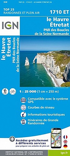
dépliant randonnée "Falaises d'etretat et charme du pays de caux" départ de la Poterie Cap d'Antifer d'abord une partie du n°5 variante vers le phare ,un peu de n°2, suivre le GR 21,pour finir une petite variante pour rejoindre le tracé n°5 retour au point de départ.Avec le soleil belle virée ,.Quelques dénivelés mais sans trop de difficultés
 Actions
13 km

+313 m/-326 m

03:30

Cliquez pour activer


Cliquez et déplacez la souris sur le profil pour analyser un tronçon (2 doigts sur mobile)
Commentaires
Pas encore de commentaire, connectez-vous pour en ajouter un.
Connectez-vous pour ajouter un commentaire
Longueur et nombre de points

12.58 km

1498 pts
Denivelé et altitude
Calculés avec un seuil de 10 mètres et un lissage sur 5 points

312 m

327 m

112 m

-7 m

78 m
Date et durée

09 août 2014
15:14

09 août 2014
20:05

04:50:04

03:29:19

01:20:45
Vitesses et denivelés horaires

3.6 km/h
Détail »

5.4 km/h
au km 0.8

376 m/h
0h38m47s

-217 m/h
1h14m29s
| km | Temps | Vitesse | Pause |
|---|
| 1 | 14'41" | 4.1 km/h | 08'26" |
| 2 | 13'42" | 4.4 km/h | |
| 3 | 14'50" | 4 km/h | |
| 4 | 26'32" | 2.3 km/h | 55'47" |
| 5 | 26'47" | 2.2 km/h | |
| 6 | 14'58" | 4 km/h | 09'29" |
| 7 | 15'11" | 4 km/h | 01'51" |
| 8 | 13'42" | 4.4 km/h | |
| 9 | 13'51" | 4.3 km/h | 01'55" |
| 10 | 16'46" | 3.6 km/h | |
| 11 | 14'35" | 4.1 km/h | 01'51" |
| 12 | 15'35" | 3.9 km/h | |
Dépense calorique (estimation)

380 Cal
109 Cal/h
Plus

Affichée 1614 fois et téléchargée 97 fois depuis le 07.04.20 15:25
Carte + Profil [Afficher un aperçu]
<iframe src="https://www.visugpx.com/1407661898?iframe" allowfullscreen style="border: 0;width: 100%; height: 540px;" scrolling="no"></iframe>
Carte uniquement [Afficher un aperçu]
<iframe src="https://www.visugpx.com/1407661898?iframe&maponly" allowfullscreen style="border: 0;width: 100%; height: 540px;" scrolling="no"></iframe>

Nous avons pris en compte votre choix.
Vous souhaitez maîtriser les informations qui peuvent être recueillies lors de votre navigation et avez refusé les cookies de personnalisation des annonces, c'est légitime.
Parce que le service fourni par VisuGPX a un coût, accepteriez-vous quand même que nous utilisions des cookies pour vous présenter des annonces non personnalisées ? Ces cookies ne sont pas des cookies de tracking mais de simples des cookies techniques de diffusion qui garantissent le respect votre vie privée.


 Actions
  13 km
13 km +313 m/-326 m
 03:30
03:30

 Cliquez et déplacez la souris sur le profil pour analyser un tronçon (2 doigts sur mobile)
 45
45 75
75 28 [Légende]
 Pour soutenir VisuGPX, faites le bon choix