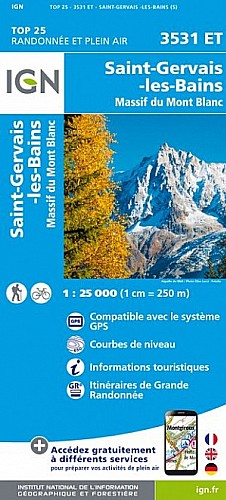
Randonnée à l'intérieur de la Réserve des Contamines Montjoie, qui bascule dans le Beaufortain au Col du Bonhomme.
Ce parcours nécessite une bonne condition physique au vu de son dénivelé. Le retour peut paraître fastidieux sachant que les distances entre certains points sont lointains.
Belle vue au sommet sur la Mont Blanc, le Cervin, etc
 Actions
23 km

+1546 m/-1530 m

05:30

Cliquez pour activer


Cliquez et déplacez la souris sur le profil pour analyser un tronçon (2 doigts sur mobile)
Commentaires
Pas encore de commentaire, connectez-vous pour en ajouter un.
Connectez-vous pour ajouter un commentaire
Longueur et nombre de points

22.7 km

2259 pts
Denivelé et altitude
Calculés avec un seuil de 10 mètres et un lissage sur 5 points

1546 m

1530 m

2755 m

1208 m

1976 m
Date et durée

04 juillet 2012
11:03

04 juillet 2012
17:23

06:19:28

05:26:49

00:52:39
Vitesses et denivelés horaires

4.2 km/h
Détail »

9.9 km/h
au km 20.3

575 m/h
2h38m36s

-629 m/h
2h23m44s
| km | Temps | Vitesse | Pause |
|---|
| 1 | 12'39" | 4.7 km/h | |
| 2 | 12'20" | 4.9 km/h | |
| 3 | 11'36" | 5.2 km/h | |
| 4 | 11'00" | 5.5 km/h | |
| 5 | 14'32" | 4.1 km/h | |
| 6 | 15'42" | 3.8 km/h | |
| 7 | 17'18" | 3.5 km/h | |
| 8 | 20'01" | 3 km/h | |
| 9 | 15'50" | 3.8 km/h | |
| 10 | 17'47" | 3.4 km/h | |
| 11 | 18'09" | 3.3 km/h | |
| 12 | 15'33" | 3.9 km/h | 11'25" |
| 13 | 14'08" | 4.2 km/h | |
| 14 | 17'49" | 3.4 km/h | |
| 15 | 15'49" | 3.8 km/h | 12'27" |
| 16 | 14'12" | 4.2 km/h | |
| 17 | 14'38" | 4.1 km/h | |
| 18 | 14'37" | 4.1 km/h | |
| 19 | 11'56" | 5 km/h | 28'47" |
| 20 | 10'00" | 6 km/h | |
| 21 | 10'39" | 5.6 km/h | |
| 22 | 10'33" | 5.7 km/h | |
Dépense calorique (estimation)

1482 Cal
272 Cal/h
Plus

Affichée 491 fois et téléchargée 17 fois depuis le 07.04.20 15:25
Carte + Profil [Afficher un aperçu]
<iframe src="https://www.visugpx.com/1342356429?iframe" allowfullscreen style="border: 0;width: 100%; height: 540px;" scrolling="no"></iframe>
Carte uniquement [Afficher un aperçu]
<iframe src="https://www.visugpx.com/1342356429?iframe&maponly" allowfullscreen style="border: 0;width: 100%; height: 540px;" scrolling="no"></iframe>


Nous avons pris en compte votre choix.
Vous souhaitez maîtriser les informations qui peuvent être recueillies lors de votre navigation et avez refusé les cookies de personnalisation des annonces, c'est légitime.
Parce que le service fourni par VisuGPX a un coût, accepteriez-vous quand même que nous utilisions des cookies pour vous présenter des annonces non personnalisées ? Ces cookies ne sont pas des cookies de tracking mais de simples des cookies techniques de diffusion qui garantissent le respect votre vie privée.


 Actions
  23 km
23 km +1546 m/-1530 m
 05:30
05:30

 Cliquez et déplacez la souris sur le profil pour analyser un tronçon (2 doigts sur mobile)
 164
164 376
376 201 [Légende]

 Pour soutenir VisuGPX, faites le bon choix