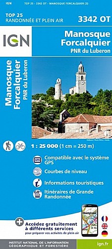
Il faut se méfier de ce tronçon entre Forcalquier et Saint Michel l'Observatoire qui, sans difficulté particulière, propose tout de même un profil en montagnes russes ! L'itinéraire alterne chemins et quelques descentes techniques sur des sentiers parfois cassants, avant de rejoindre les coupoles caractéristiques de l'observatoire astronomique de Haute-Provence.
 Actions
14 km

+489 m/-471 m

±02:00

Cliquez pour activer

Cliquez et déplacez la souris sur le profil pour analyser un tronçon (2 doigts sur mobile)
Commentaires
Pas encore de commentaire, connectez-vous pour en ajouter un.
Connectez-vous pour ajouter un commentaire
Longueur et nombre de points

14.39 km

978 pts

3 marqueurs
Denivelé et altitude
Calculés avec un seuil de 10 mètres et un lissage sur 5 points

489 m

471 m

678 m

470 m

573 m
Plus

Affichée 4043 fois et téléchargée 397 fois depuis le 13.03.12 23:03
Carte + Profil [Afficher un aperçu]
<iframe src="https://www.visugpx.com/1331676222?iframe" allowfullscreen style="border: 0;width: 100%; height: 540px;" scrolling="no"></iframe>
Carte uniquement [Afficher un aperçu]
<iframe src="https://www.visugpx.com/1331676222?iframe&maponly" allowfullscreen style="border: 0;width: 100%; height: 540px;" scrolling="no"></iframe>

Nous avons pris en compte votre choix.
Vous souhaitez maîtriser les informations qui peuvent être recueillies lors de votre navigation et avez refusé les cookies de personnalisation des annonces, c'est légitime.
Parce que le service fourni par VisuGPX a un coût, accepteriez-vous quand même que nous utilisions des cookies pour vous présenter des annonces non personnalisées ? Ces cookies ne sont pas des cookies de tracking mais de simples des cookies techniques de diffusion qui garantissent le respect votre vie privée.


 Actions
  14 km
14 km +489 m/-471 m
 ±02:00
 Cliquez et déplacez la souris sur le profil pour analyser un tronçon (2 doigts sur mobile)
 61
61 117
117 59 [Légende]
 Pour soutenir VisuGPX, faites le bon choix