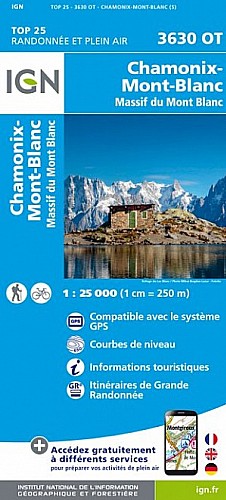
3 jours :
Jour1 du parking de Cugnon au refuge des conscrits.
Jour2 : la traversée des dômes de Miage d'ouest en est: du refuge des conscrits au refuge Durier.
Jour3 : du refuge Durier à l'Aiguille du Midi par l'Aiguille de Bionassay le Mont Blanc (les 3 monts).
(alpinisme)
Les photos à l'url :
quayrat.free.fr/montagne/ete_2008/080627-29.php  (trace approximative après la course faite fin juin 2008)
 Actions
27 km

+4484 m/-2060 m

Cliquez pour activer

Cliquez et déplacez la souris sur le profil pour analyser un tronçon (2 doigts sur mobile)
Commentaires
Pas encore de commentaire, connectez-vous pour en ajouter un.
Connectez-vous pour ajouter un commentaire
Longueur et nombre de points

26.88 km

164 pts
Denivelé et altitude
Calculés avec un seuil de 10 mètres et sans lissage

4484 m

2060 m

4663 m

1185 m

3090 m
Plus

Affichée 4117 fois et téléchargée 272 fois depuis le 25.10.11 00:31
Carte + Profil [Afficher un aperçu]
<iframe src="https://www.visugpx.com/1319495464?iframe" allowfullscreen style="border: 0;width: 100%; height: 540px;" scrolling="no"></iframe>
Carte uniquement [Afficher un aperçu]
<iframe src="https://www.visugpx.com/1319495464?iframe&maponly" allowfullscreen style="border: 0;width: 100%; height: 540px;" scrolling="no"></iframe>


Nous avons pris en compte votre choix.
Vous souhaitez maîtriser les informations qui peuvent être recueillies lors de votre navigation et avez refusé les cookies de personnalisation des annonces, c'est légitime.
Parce que le service fourni par VisuGPX a un coût, accepteriez-vous quand même que nous utilisions des cookies pour vous présenter des annonces non personnalisées ? Ces cookies ne sont pas des cookies de tracking mais de simples des cookies techniques de diffusion qui garantissent le respect votre vie privée.


 Actions
  27 km
27 km +4484 m/-2060 m
 Cliquez et déplacez la souris sur le profil pour analyser un tronçon (2 doigts sur mobile)
 387
387 1000
1000 448 [Légende]

 Pour soutenir VisuGPX, faites le bon choix