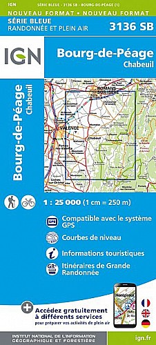
Belle rando que cette édition 2011.
 Actions
36 km

+1103 m/-1094 m

±04:30

Cliquez pour activer

Cliquez et déplacez la souris sur le profil pour analyser un tronçon (2 doigts sur mobile)
Commentaires
Pas encore de commentaire, connectez-vous pour en ajouter un.
Connectez-vous pour ajouter un commentaire
Longueur et nombre de points

36.27 km

2985 pts
Denivelé et altitude
Calculés avec un seuil de 10 mètres et un lissage sur 5 points

1102 m

1094 m

642 m

395 m

483 m
Plus

Affichée 743 fois et téléchargée 31 fois depuis le 07.04.20 15:25
Carte + Profil [Afficher un aperçu]
<iframe src="https://www.visugpx.com/1313854594?iframe" allowfullscreen style="border: 0;width: 100%; height: 540px;" scrolling="no"></iframe>
Carte uniquement [Afficher un aperçu]
<iframe src="https://www.visugpx.com/1313854594?iframe&maponly" allowfullscreen style="border: 0;width: 100%; height: 540px;" scrolling="no"></iframe>

Nous avons pris en compte votre choix.
Vous souhaitez maîtriser les informations qui peuvent être recueillies lors de votre navigation et avez refusé les cookies de personnalisation des annonces, c'est légitime.
Parce que le service fourni par VisuGPX a un coût, accepteriez-vous quand même que nous utilisions des cookies pour vous présenter des annonces non personnalisées ? Ces cookies ne sont pas des cookies de tracking mais de simples des cookies techniques de diffusion qui garantissent le respect votre vie privée.


 Actions
  36 km
36 km +1103 m/-1094 m
 ±04:30
 Cliquez et déplacez la souris sur le profil pour analyser un tronçon (2 doigts sur mobile)
 128
128 244
244 110 [Légende]
 Pour soutenir VisuGPX, faites le bon choix