 Actions
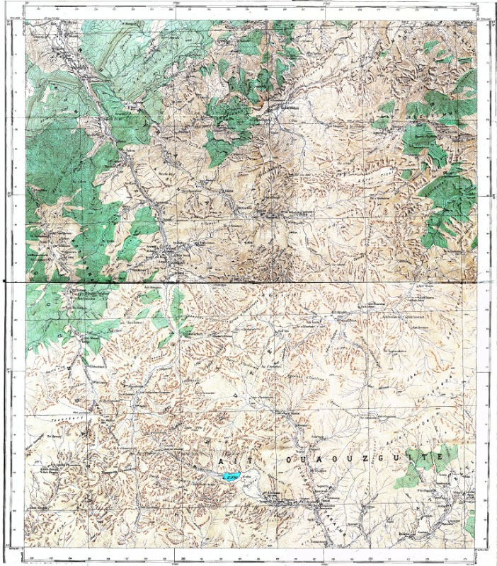
55.2 km

+6259 m

09:26
Traces multiples, sélectionnez la trace à afficher
00Détails
.
J 1 : vol France-Marrakech.
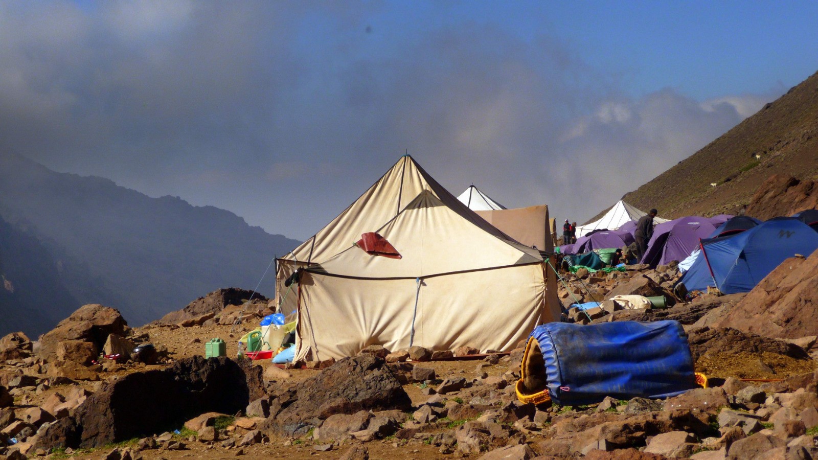
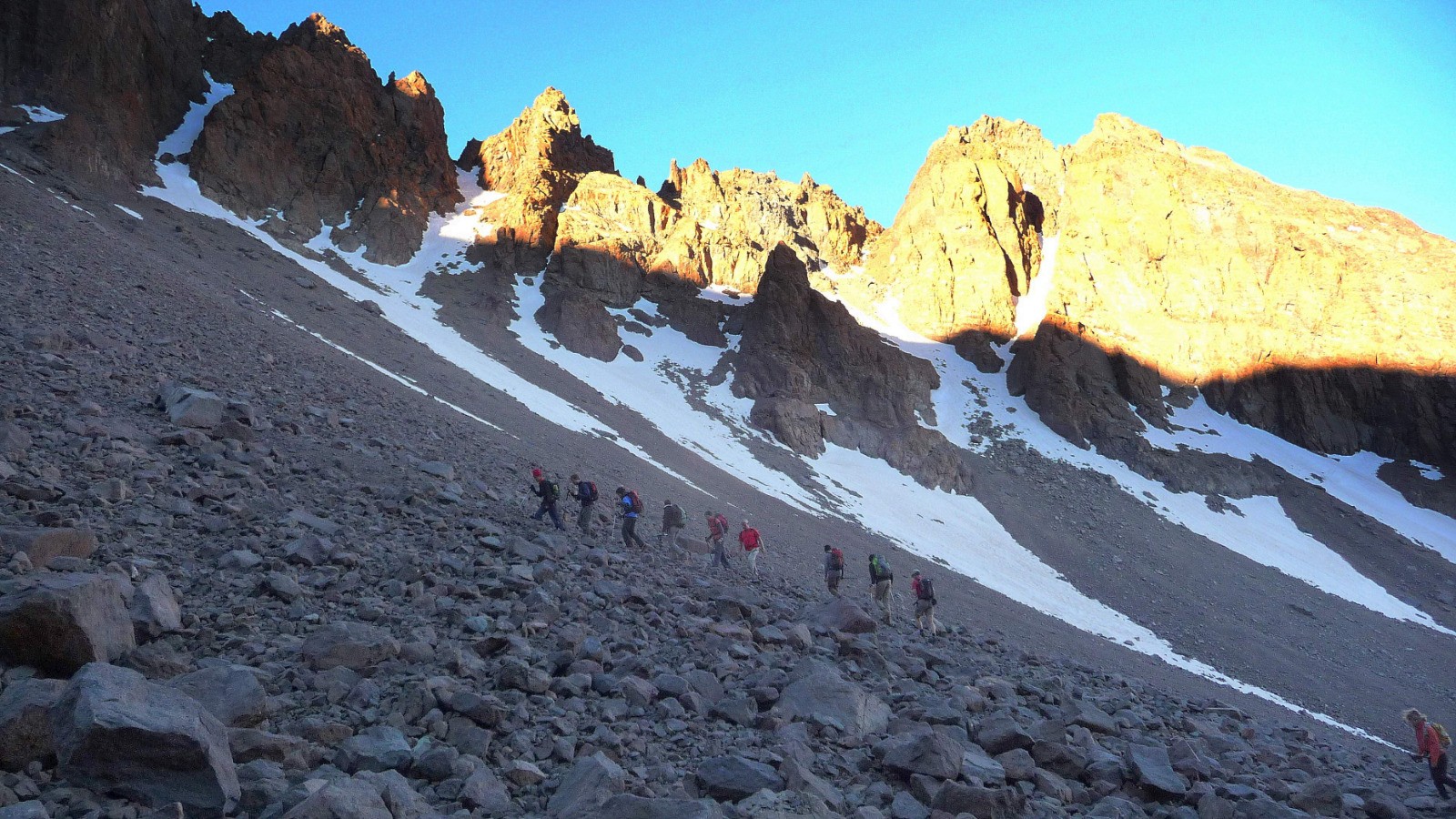
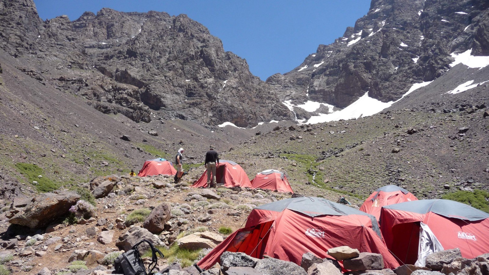
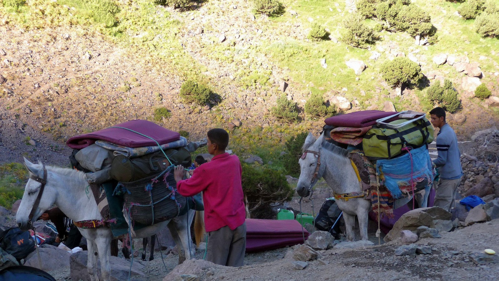
J 2 : transfert à Imlil (1700 m), montée et nuit au pied du Refuge Nelter 3207m. Photos -->:
goo.gl/photos/tPVsncbnGQ3xeb6c6
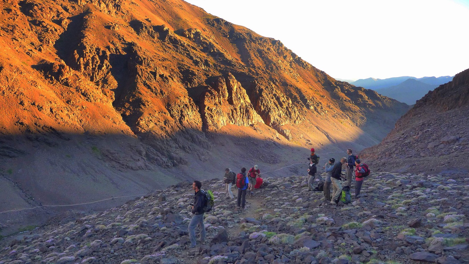
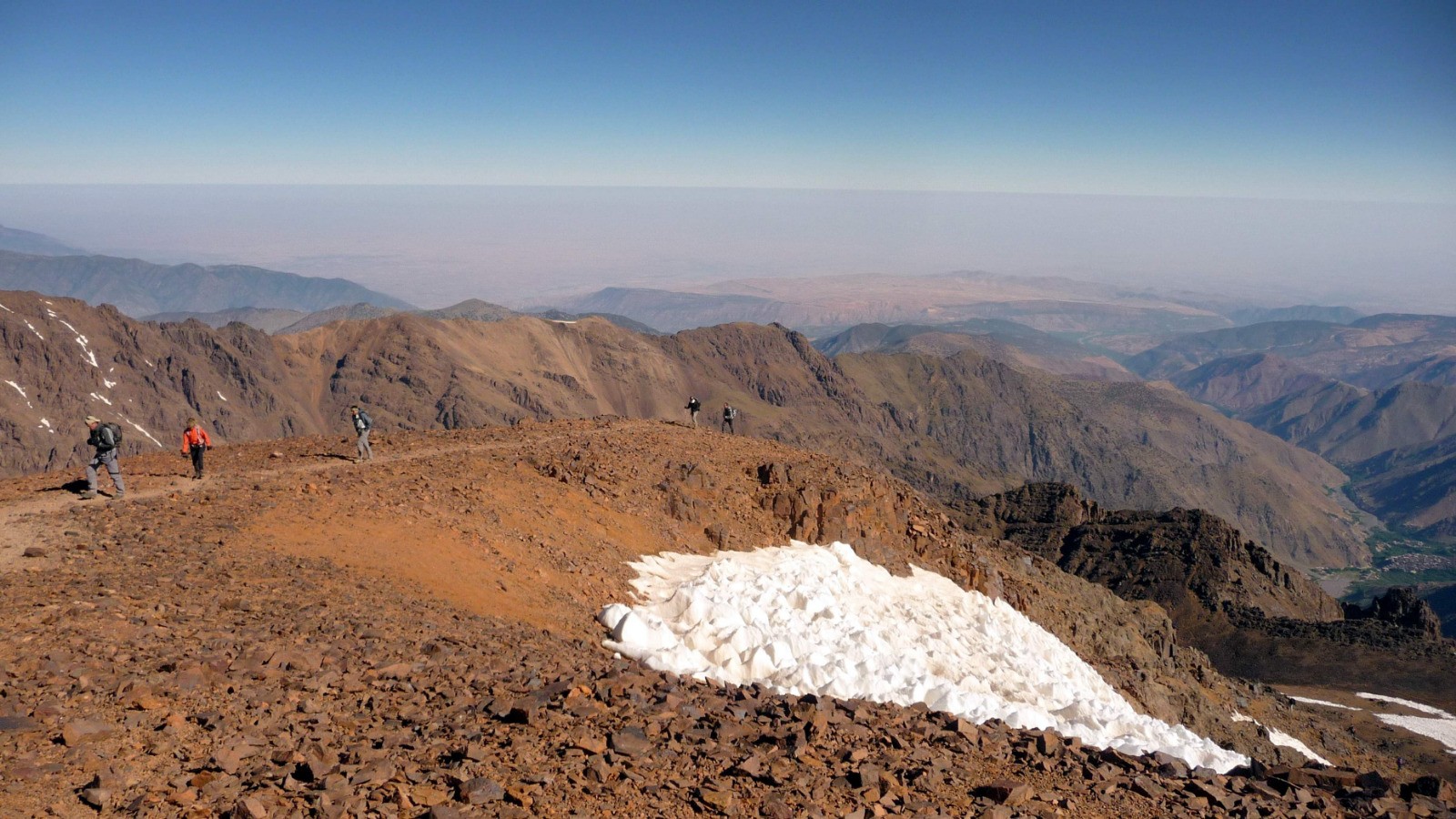
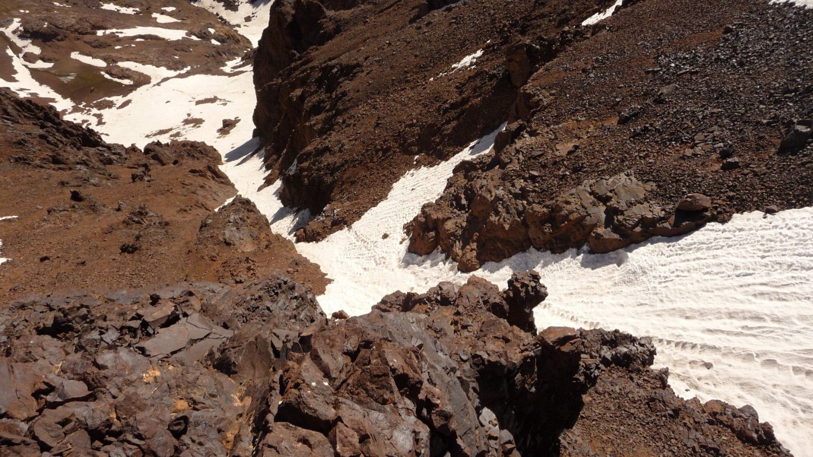
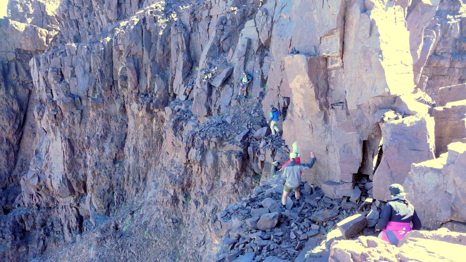
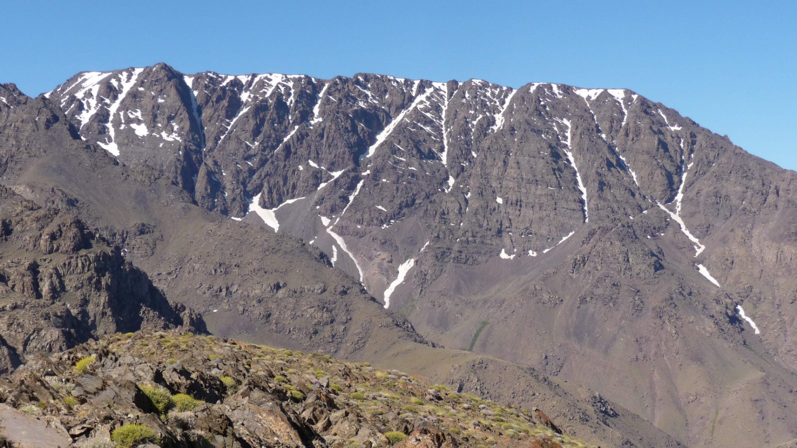
J 3 : ascension du Toubkal (4167 m) versant nord, descente par la voie normale. Photos -->:
goo.gl/photos/aVBBBt6bvYxtfXqd8
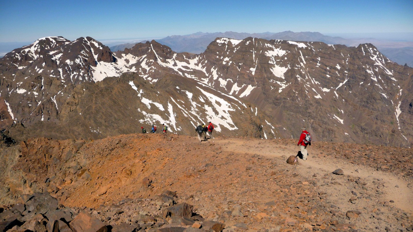
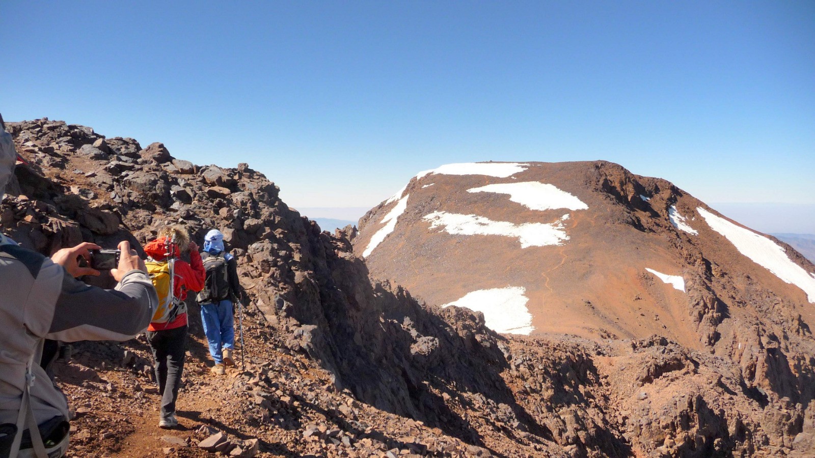
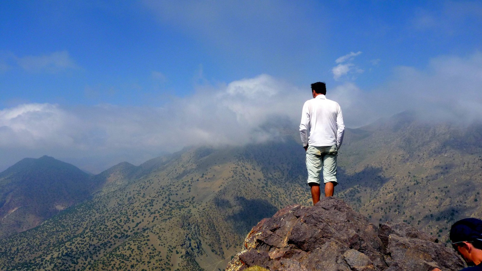
J 4 : Ouanoukrim (Ras 4083 m et Timesquida 4089m). Photos -->:
goo.gl/photos/aBpEdhgG9882jqyN8
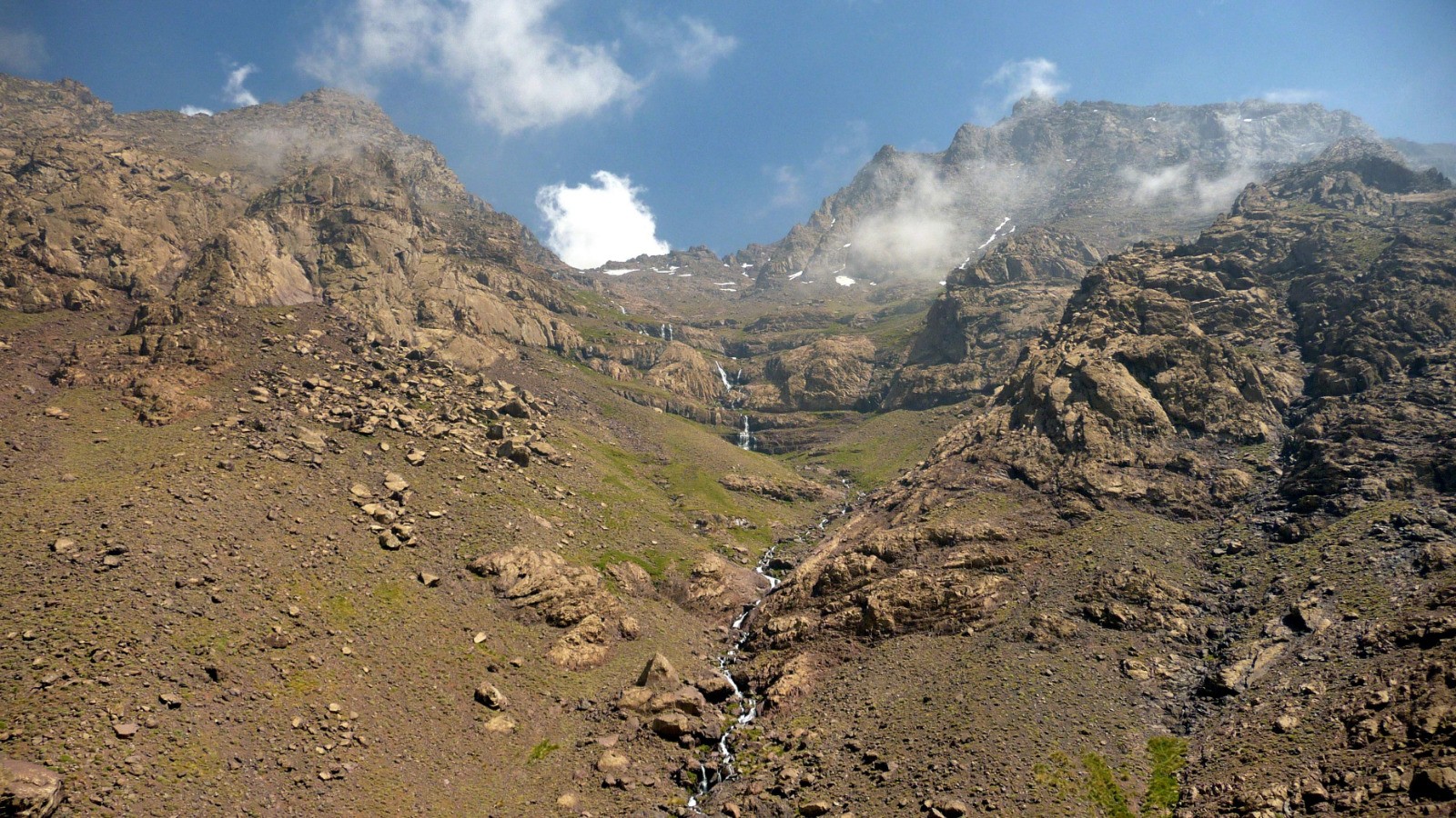
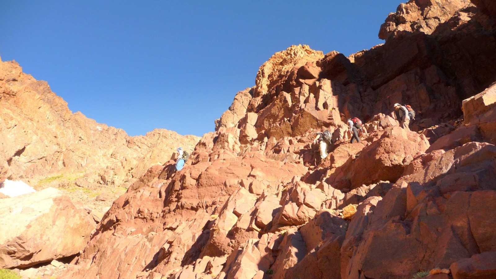
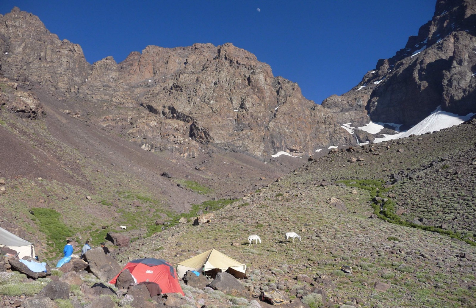
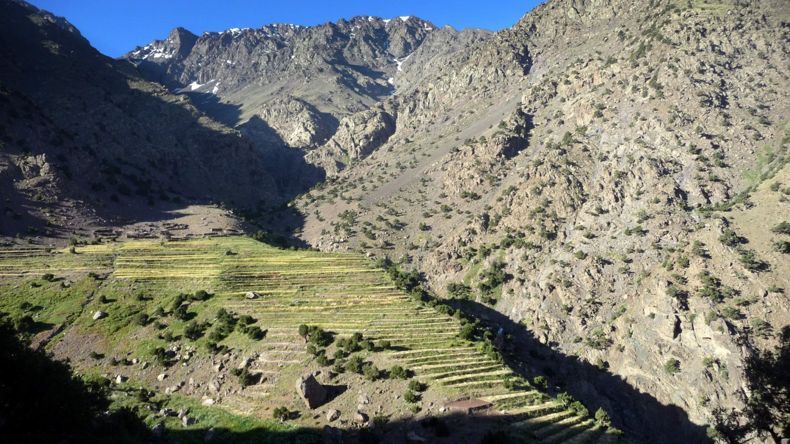
J 5 : tizi n'Taddate (3527 m) camp Lépiney (3060m). Photos -->:
goo.gl/photos/W68cBp4vAgbzp7YL7
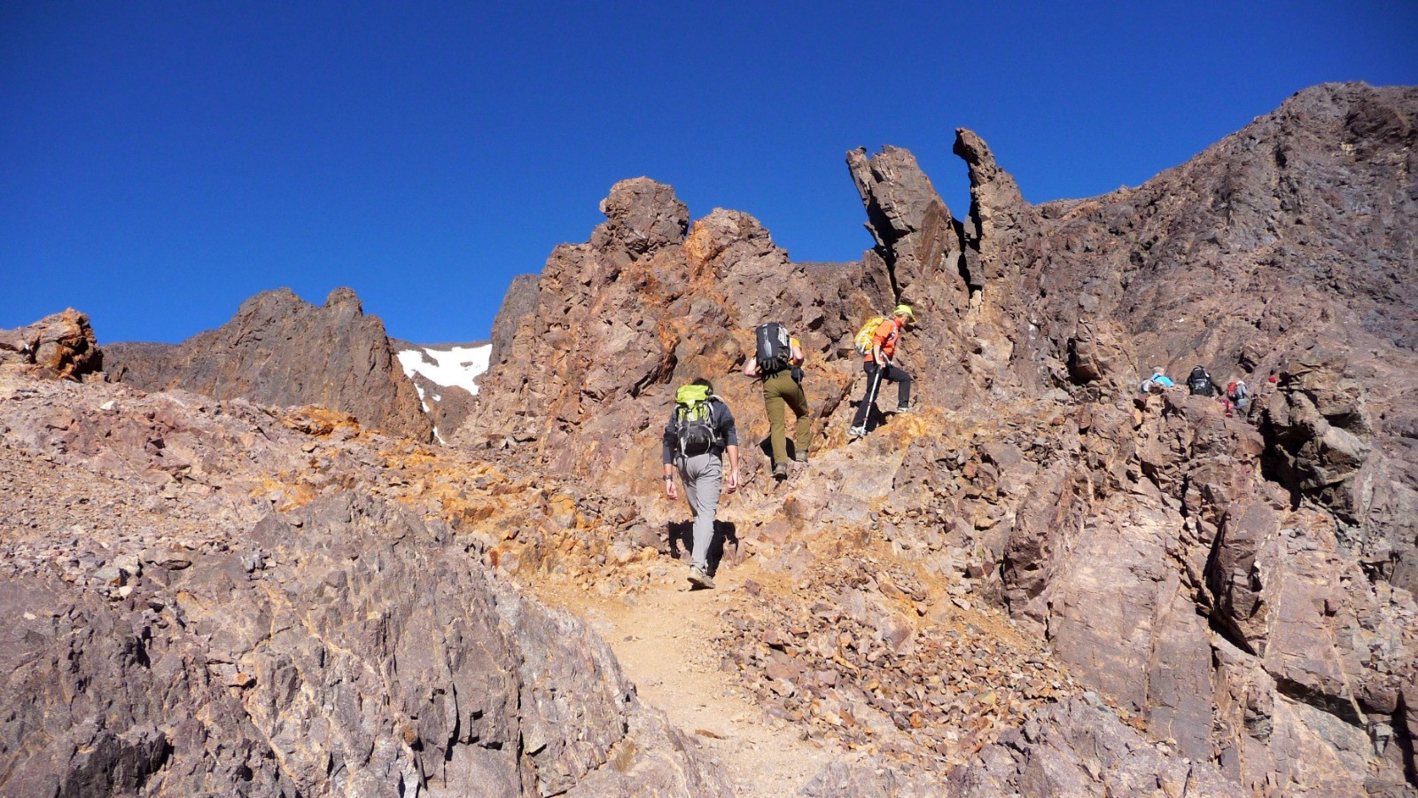
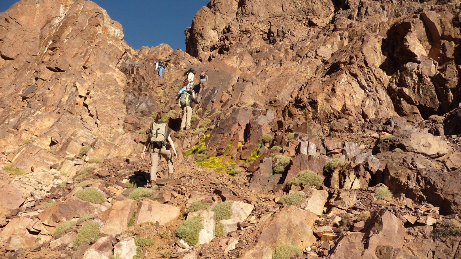
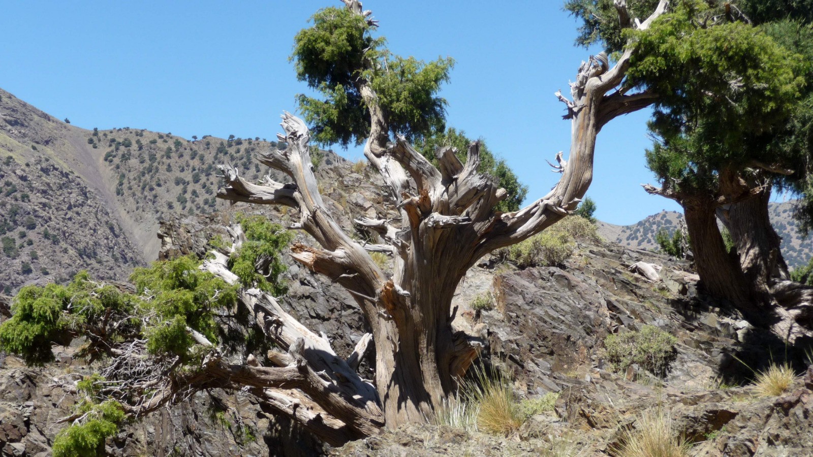
J 6 : tizi n'Tzikert (2930m) et Hajj (3160m). Photos -->:
goo.gl/photos/XugQkyR3NGrNUdHS7
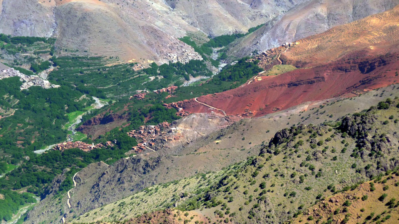
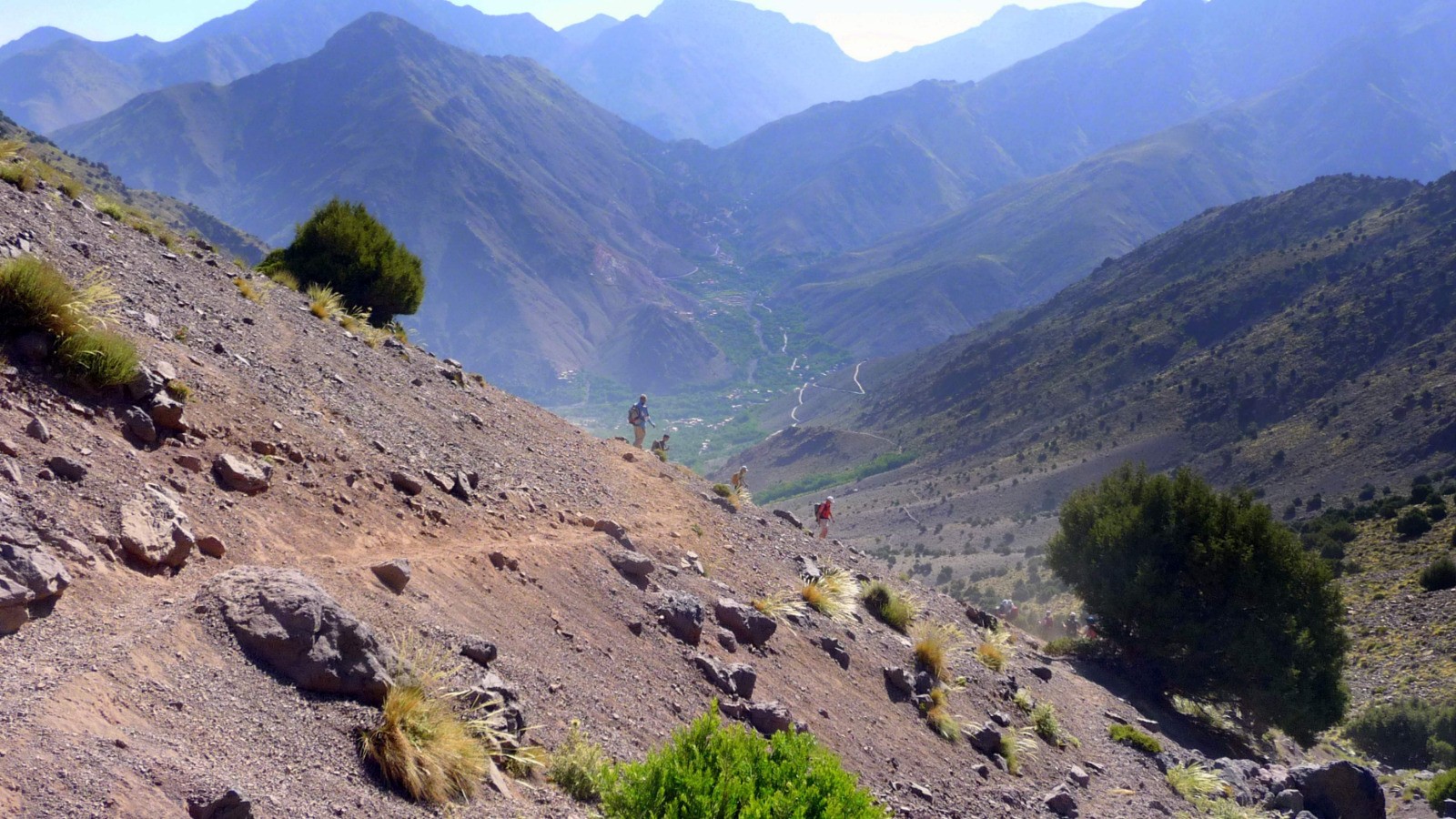
J 7 : par le tizi MZik, retour à Imlil, transfert à Marrakech. Photos -->:
goo.gl/photos/TMZAEPAEeP5Et3h67
J 8 : vol Marrakech-France.
 Photos
Commentaires
Pas encore de commentaire, connectez-vous pour en ajouter un.
Connectez-vous pour ajouter un commentaire
Plus

Affichée 2812 fois et téléchargée 167 fois depuis le 07.04.20 14:25
KME
117.8 kilomètres effort
Carte + Profil [Afficher un aperçu]
<iframe src="https://www.visugpx.com/1277571075?iframe" allowfullscreen style="border: 0;width: 100%; height: 540px;" loading="lazy" scrolling="no"></iframe>
Carte uniquement [Afficher un aperçu]
<iframe src="https://www.visugpx.com/1277571075?iframe&maponly" allowfullscreen style="border: 0;width: 100%; height: 540px;" loading="lazy" scrolling="no"></iframe>
 ForumsToposLes plus belles randosSegments
 Offre Premium
 Connexion


 594
594 1601
1601 546 [Légende]


