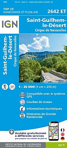
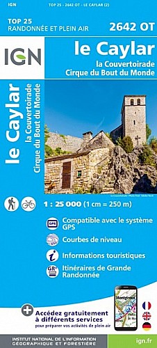
Avant tout j'attire votre attention sur les données chiffrées restituées qui sont erronées.En effet cette rando fait moins de 16 kms et 500 m de dénivelé cumulé et non 17,6Km et 820 comme indiqué.
Ce'est une très belle randonnée avec des points de vue magnifiques.
 Actions
18 km

+820 m/-820 m

04:30

Cliquez pour activer


Cliquez et déplacez la souris sur le profil pour analyser un tronçon (2 doigts sur mobile)
Commentaires
Pas encore de commentaire, connectez-vous pour en ajouter un.
Connectez-vous pour ajouter un commentaire
Longueur et nombre de points

17.63 km

754 pts
Denivelé et altitude
Calculés avec un seuil de 10 mètres et un lissage sur 5 points

820 m

820 m

702 m

265 m

537 m
Date et durée

12 octobre 2017
08:38

12 octobre 2017
15:37

06:59:23

04:27:42

02:31:41
Vitesses et denivelés horaires

4 km/h
Détail »

17.6 km/h
au km 3.3

302 m/h
1h57m41s

-451 m/h
1h16m09s
| km | Temps | Vitesse | Pause |
|---|
| 1 | 17'36" | 3.4 km/h | 05'11" |
| 2 | 22'03" | 2.7 km/h | 04'10" |
| 3 | 08'39" | 6.9 km/h | 08'08" |
| 4 | 13'54" | 4.3 km/h | 06'57" |
| 5 | 15'52" | 3.8 km/h | |
| 6 | 15'08" | 4 km/h | |
| 7 | 19'58" | 3 km/h | 04'41" |
| 8 | 07'44" | 7.8 km/h | |
| 9 | 12'31" | 4.8 km/h | |
| 10 | 13'34" | 4.4 km/h | |
| 11 | 15'49" | 3.8 km/h | 02'49" |
| 12 | 12'50" | 4.7 km/h | |
| 13 | 16'02" | 3.7 km/h | 72'30" |
| 14 | 16'28" | 3.6 km/h | 03'24" |
| 15 | 13'24" | 4.5 km/h | 10'41" |
| 16 | 15'46" | 3.8 km/h | 14'01" |
| 17 | 21'18" | 2.8 km/h | 06'40" |
Dépense calorique (estimation)

744 Cal
167 Cal/h
Plus

Affichée 605 fois et téléchargée 23 fois depuis le 07.04.20 15:25
Carte + Profil [Afficher un aperçu]
<iframe src="https://www.visugpx.com/yomnUZGasS?iframe" allowfullscreen style="border: 0;width: 100%; height: 540px;" scrolling="no"></iframe>
Carte uniquement [Afficher un aperçu]
<iframe src="https://www.visugpx.com/yomnUZGasS?iframe&maponly" allowfullscreen style="border: 0;width: 100%; height: 540px;" scrolling="no"></iframe>


Nous avons pris en compte votre choix.
Vous souhaitez maîtriser les informations qui peuvent être recueillies lors de votre navigation et avez refusé les cookies de personnalisation des annonces, c'est légitime.
Parce que le service fourni par VisuGPX a un coût, accepteriez-vous quand même que nous utilisions des cookies pour vous présenter des annonces non personnalisées ? Ces cookies ne sont pas des cookies de tracking mais de simples des cookies techniques de diffusion qui garantissent le respect votre vie privée.


 Actions
  18 km
18 km +820 m/-820 m
 04:30
04:30

 Cliquez et déplacez la souris sur le profil pour analyser un tronçon (2 doigts sur mobile)
 59
59 109
109 38 [Légende]

 Pour soutenir VisuGPX, faites le bon choix