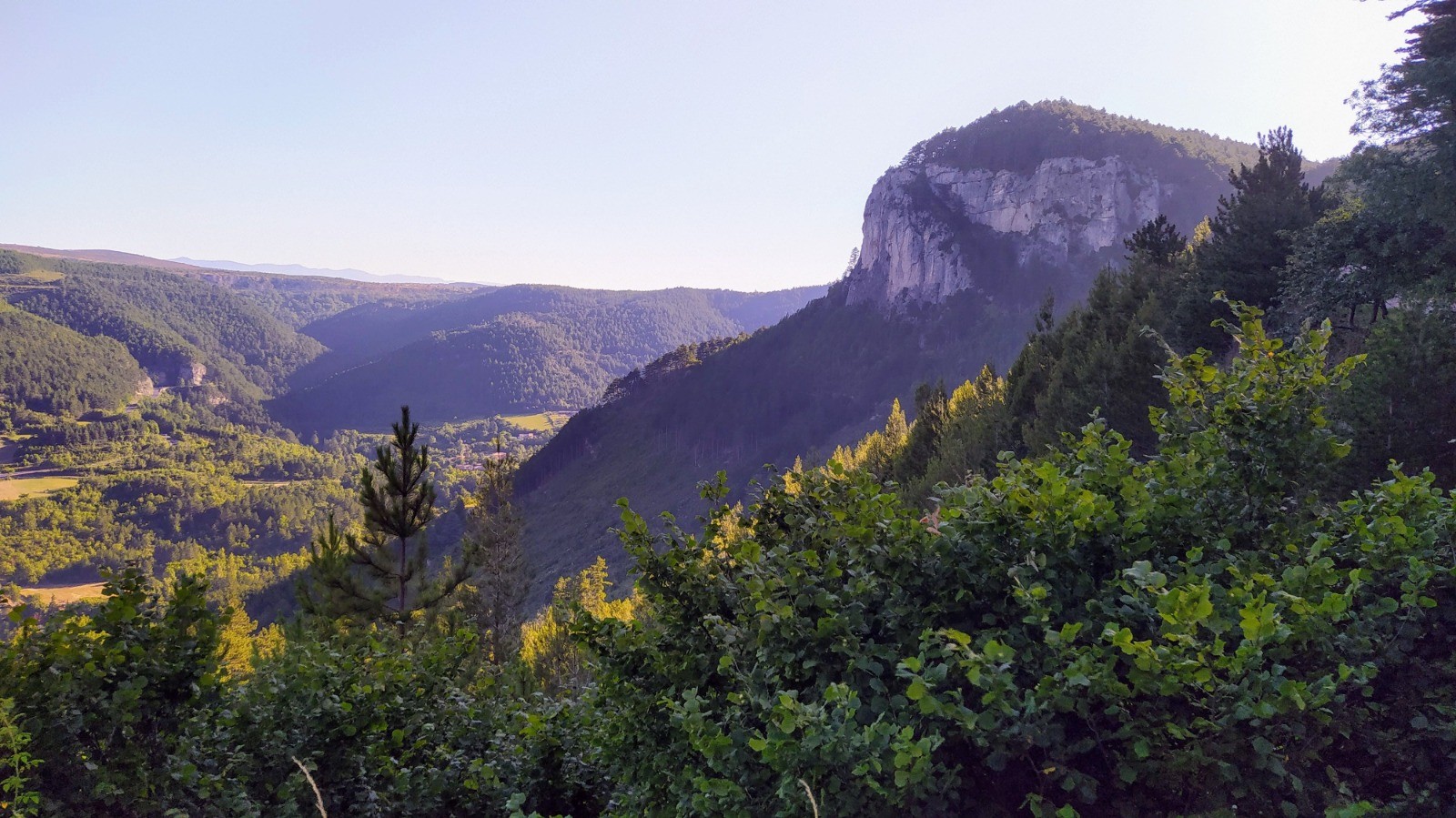
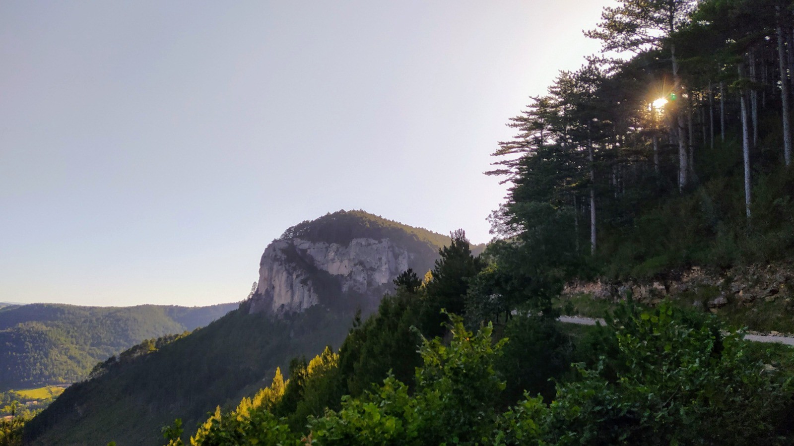
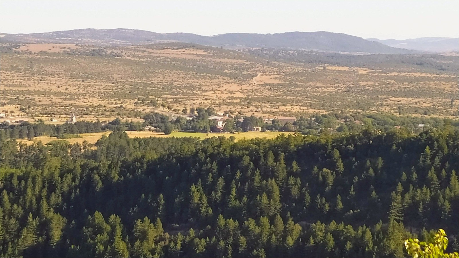
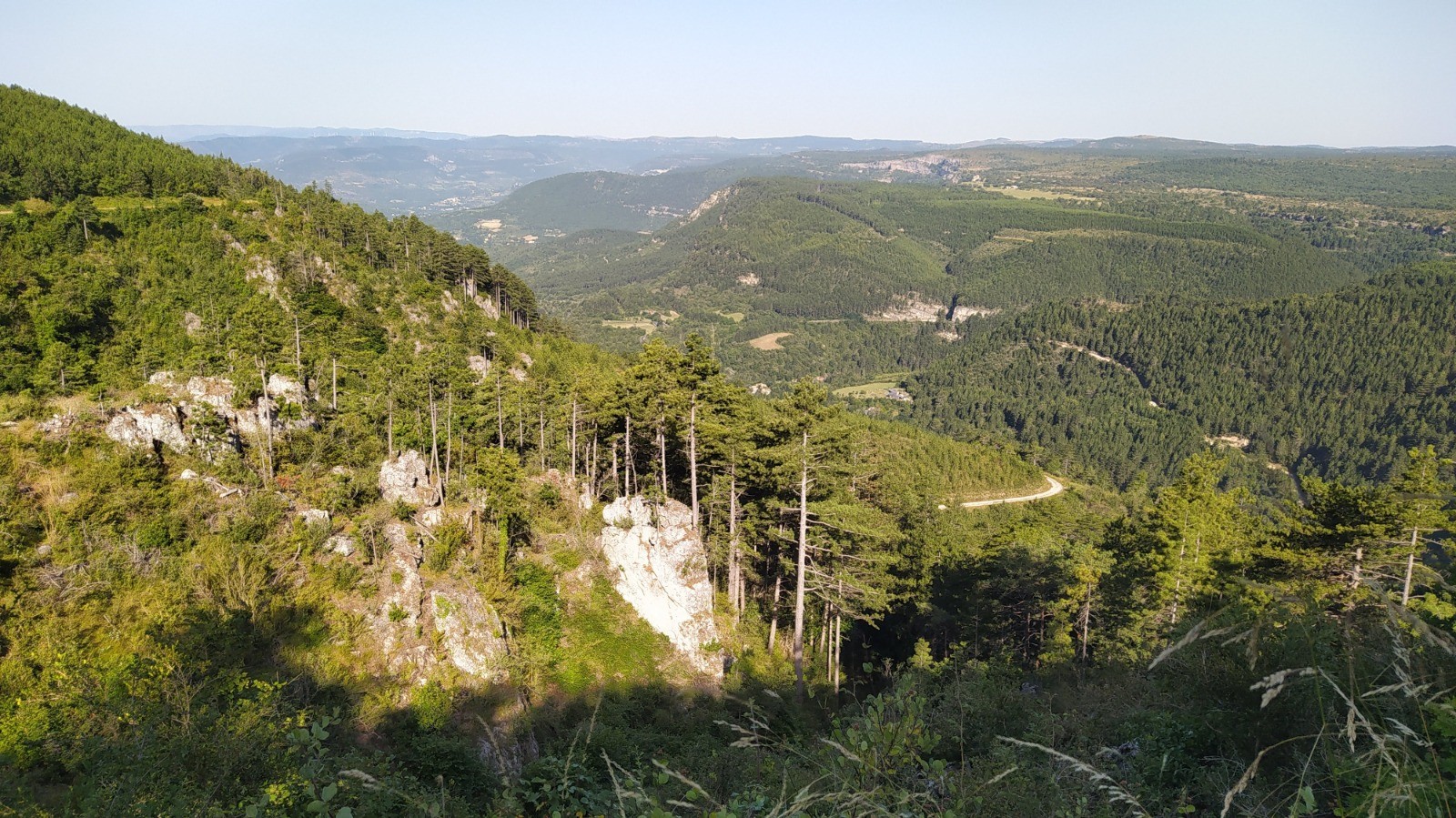
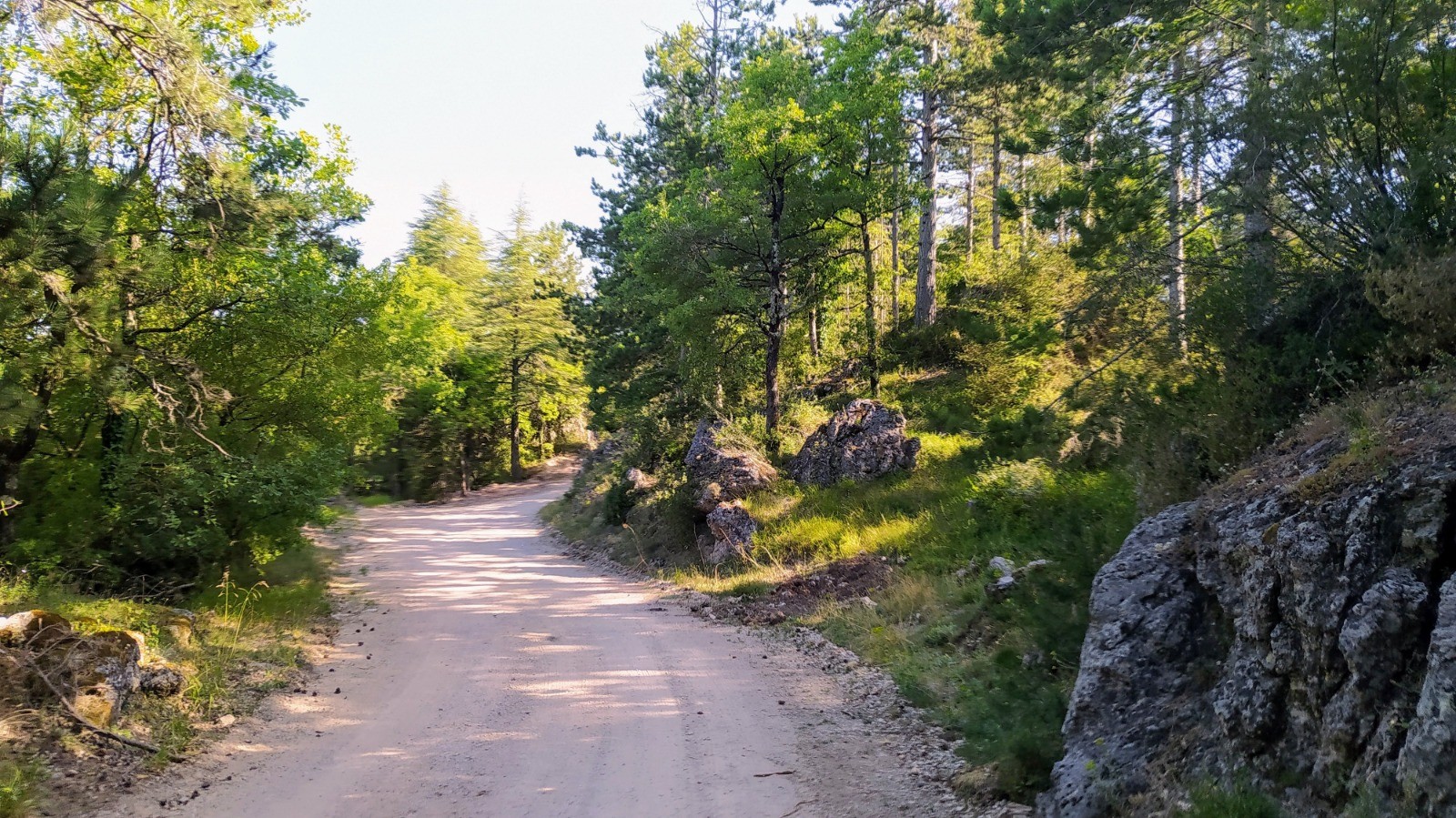
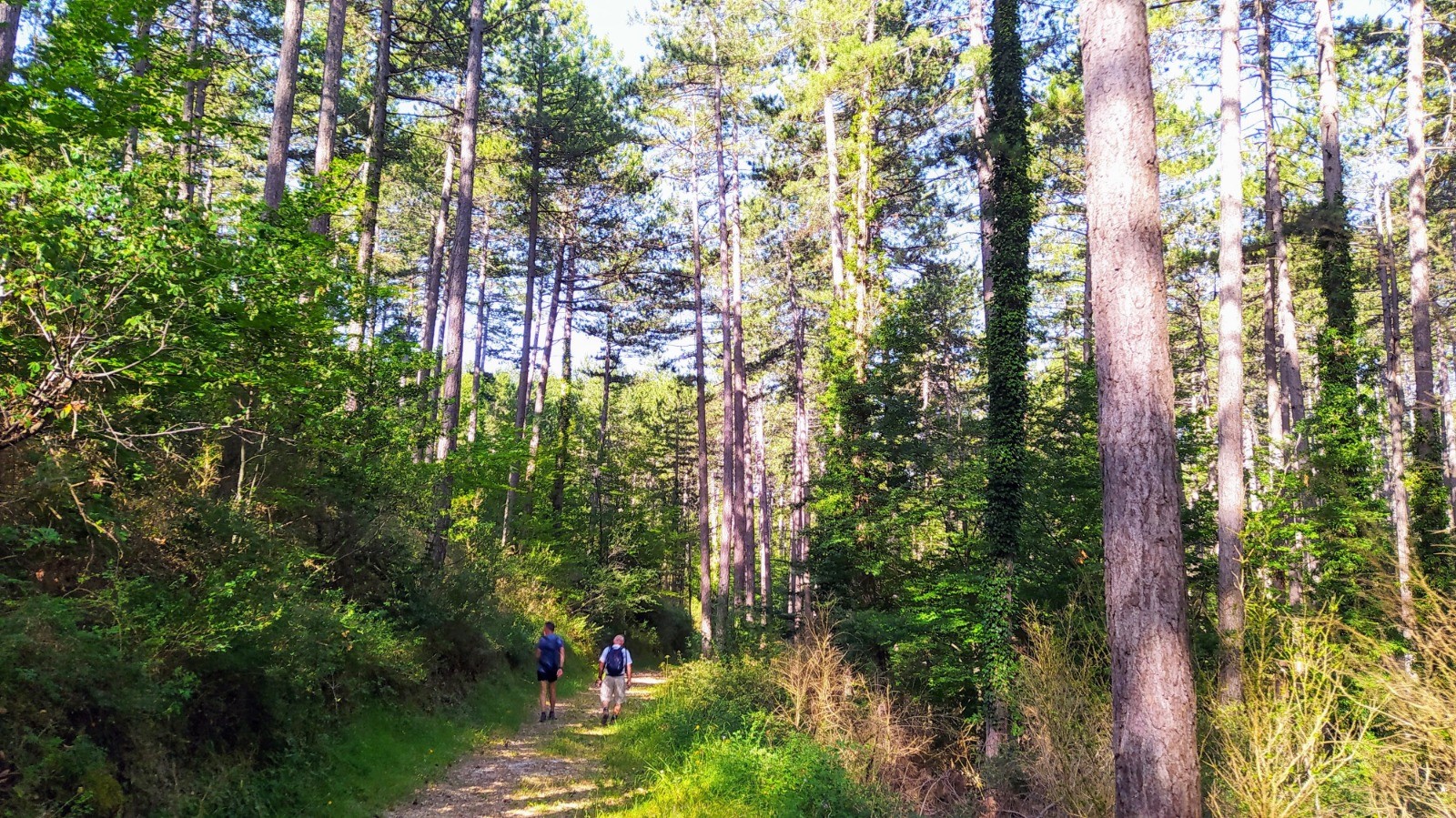
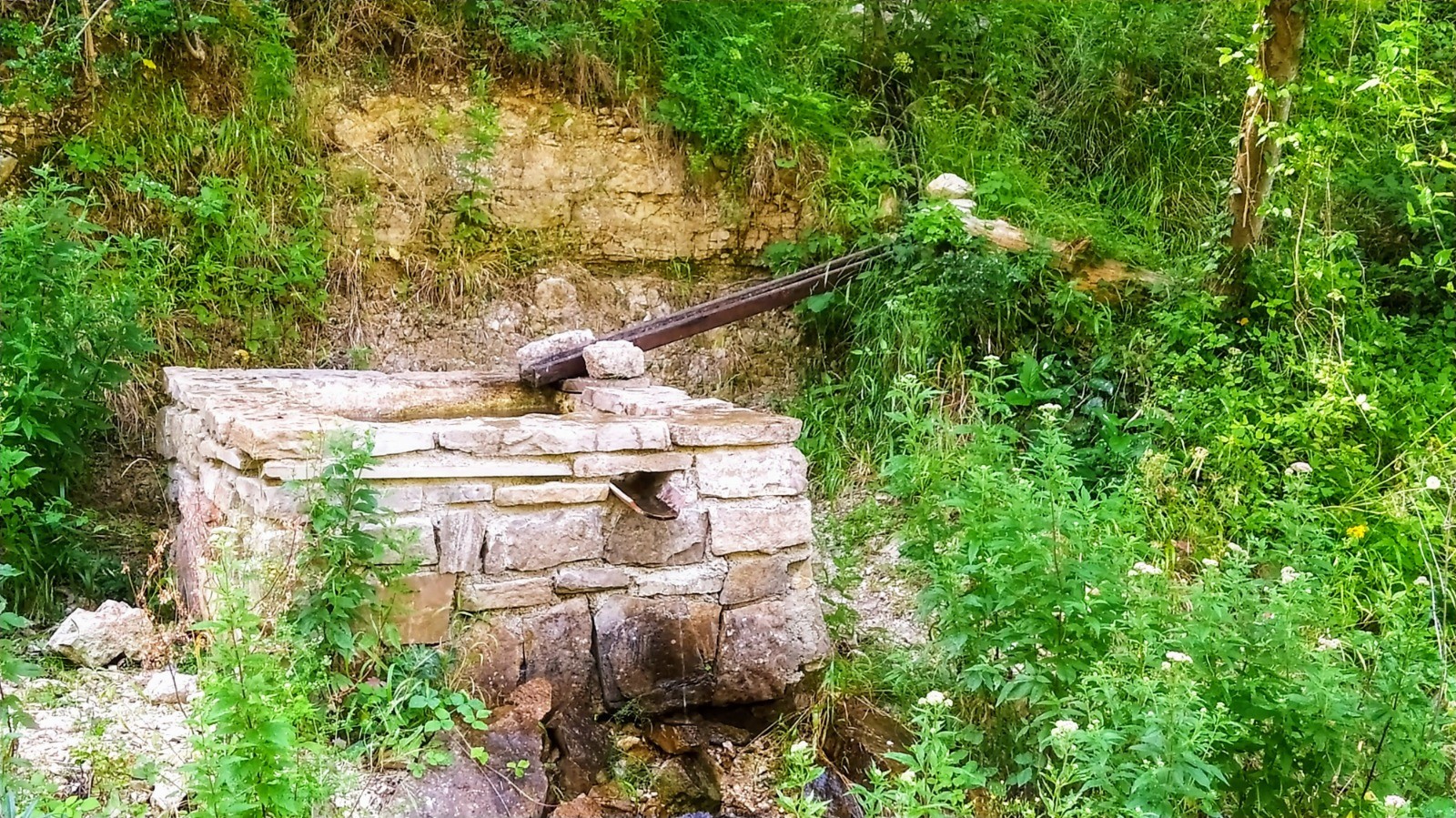
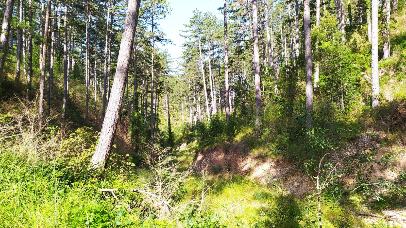
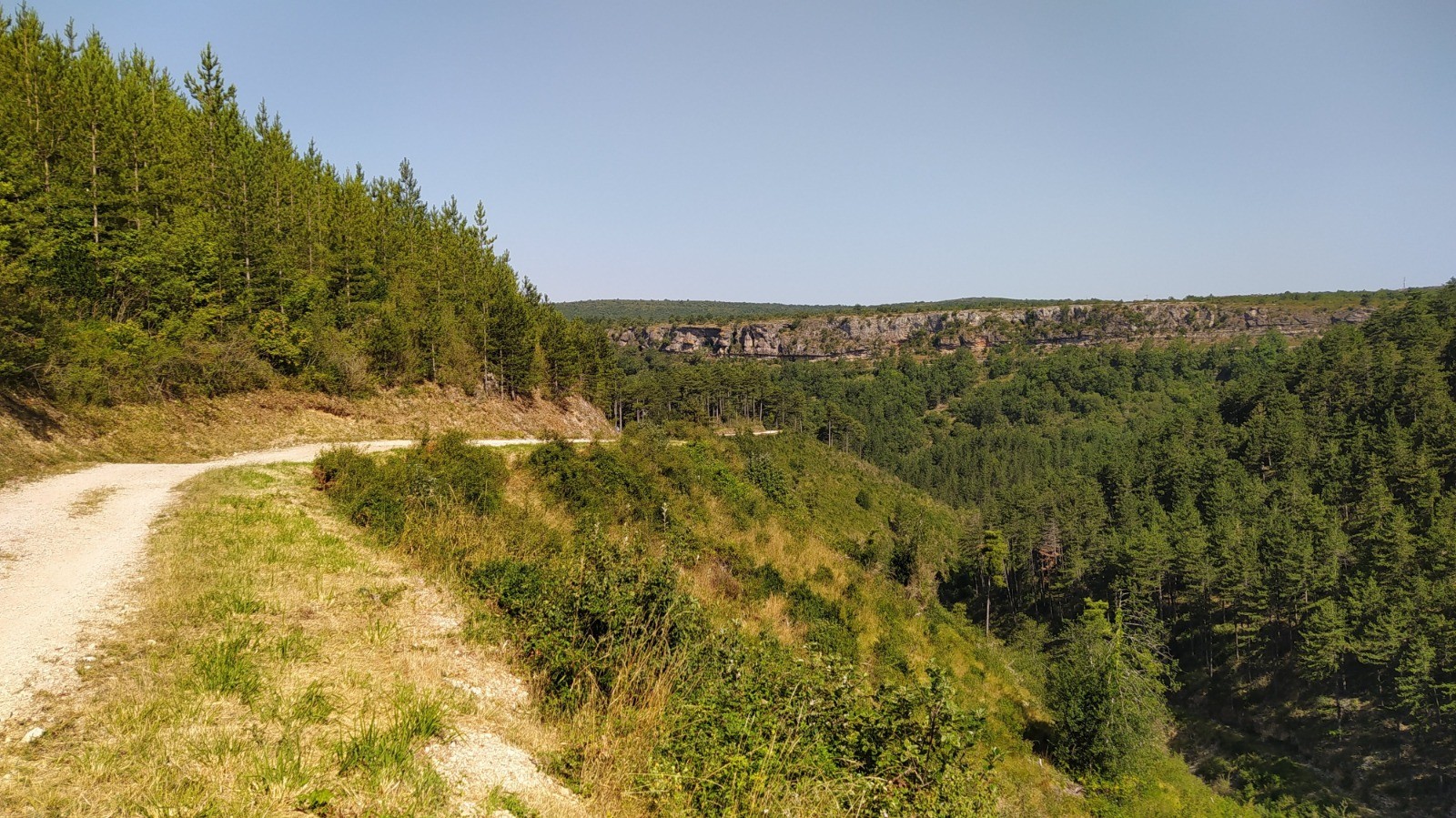
Au départ du hameau de Parlatges, commune de St Pierre de la Fage, une très agréable rando sans difficulté et très ombragée, dans la très belle forêt domaniale de Parlatges, composée presqu'exclusivement de pins noir d'Autriche, avec un petit aller / retour jusqu'à la fontaine aux oiseaux.
 Actions
13.1 km

+388 m
/-386 m
03:15

Cliquez pour activer


Cliquez et déplacez la souris sur le profil pour analyser un tronçon (2 doigts sur mobile)
 Photos
Commentaires
Pas encore de commentaire, connectez-vous pour en ajouter un.
Connectez-vous pour ajouter un commentaire
Longueur et nombre de points

13.05 km

1137 pts
Denivelé et altitude
Calculés avec un seuil de 10 mètres et un lissage sur 5 points

387 m

386 m

737 m

399 m

575 m
Date et durée

09 juillet 2020
07:22

09 juillet 2020
11:20

03:58:10

03:15:18

00:42:52
Vitesses et denivelés horaires

4 km/h
Détail »

5.6 km/h
au km 6.2

294 m/h
1h15m31s

-303 m/h
1h12m11s
| km | Temps | Vitesse | Pause |
|---|
| 1 | 14'03" | 4.3 km/h | 03'06" |
| 2 | 15'35" | 3.9 km/h | |
| 3 | 15'05" | 4 km/h | |
| 4 | 16'00" | 3.7 km/h | 10'17" |
| 5 | 14'32" | 4.1 km/h | |
| 6 | 13'20" | 4.5 km/h | 01'38" |
| 7 | 13'48" | 4.3 km/h | 10'15" |
| 8 | 13'52" | 4.3 km/h | 03'29" |
| 9 | 13'29" | 4.5 km/h | |
| 10 | 20'00" | 3 km/h | 05'11" |
| 11 | 15'41" | 3.8 km/h | 01'38" |
| 12 | 14'13" | 4.2 km/h | 03'01" |
| 13 | 14'58" | 4 km/h | 04'17" |
Dépense calorique (estimation)

452 Cal
139 Cal/h
Plus

Affichée 1500 fois et téléchargée 92 fois depuis le 09.07.20 15:23
KME
18.2 kilomètres effort
Carte + Profil [Afficher un aperçu]
<iframe src="https://www.visugpx.com/yku2yqieCU?iframe" allowfullscreen style="border: 0;width: 100%; height: 540px;" loading="lazy" scrolling="no"></iframe>
Carte uniquement [Afficher un aperçu]
<iframe src="https://www.visugpx.com/yku2yqieCU?iframe&maponly" allowfullscreen style="border: 0;width: 100%; height: 540px;" loading="lazy" scrolling="no"></iframe>


 ForumsToposLes plus belles randosSegments
 Offre Premium
 Connexion


 50
50 91
91 32 [Légende]


