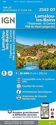
Pour changer du traditionnel circuit des gorges de Colombières, une variante par les très belles et très sauvages gorges de Madale.
A réserver aux bons marcheurs car itinéraire non balisé, difficile, très rocailleux avec des passages de dalles au dessus du vide à partir du km 7.
Bien suivre les cairns et ne pas faire ce circuit par temps humide ou après la pluie.
 Actions
12 km

+640 m/-641 m

05:00

Cliquez pour activer


Cliquez et déplacez la souris sur le profil pour analyser un tronçon (2 doigts sur mobile)
Commentaires
Pas encore de commentaire, connectez-vous pour en ajouter un.
Connectez-vous pour ajouter un commentaire
Longueur et nombre de points

12.27 km

1859 pts
Denivelé et altitude
Calculés avec un seuil de 10 mètres et un lissage sur 5 points

639 m

642 m

815 m

219 m

532 m
Date et durée

18 juin 2020
09:12

18 juin 2020
15:42

06:30:03

05:00:54

01:29:09
Vitesses et denivelés horaires

2.4 km/h
Détail »

5.2 km/h
au km 5.1

275 m/h
2h13m58s

-269 m/h
2h17m43s
| km | Temps | Vitesse | Pause |
|---|
| 1 | 22'44" | 2.6 km/h | |
| 2 | 29'52" | 2 km/h | 18'15" |
| 3 | 30'40" | 2 km/h | 02'55" |
| 4 | 28'59" | 2.1 km/h | 03'59" |
| 5 | 15'44" | 3.8 km/h | 06'32" |
| 6 | 18'28" | 3.2 km/h | |
| 7 | 19'33" | 3.1 km/h | |
| 8 | 22'11" | 2.7 km/h | 37'47" |
| 9 | 40'09" | 1.5 km/h | 11'17" |
| 10 | 32'00" | 1.9 km/h | 04'39" |
| 11 | 20'14" | 3 km/h | |
| 12 | 15'10" | 4 km/h | 02'13" |
Dépense calorique (estimation)

525 Cal
105 Cal/h
Plus

Affichée 420 fois et téléchargée 16 fois depuis le 19.06.20 22:37
Carte + Profil [Afficher un aperçu]
<iframe src="https://www.visugpx.com/x3pLEq7GSi?iframe" allowfullscreen style="border: 0;width: 100%; height: 540px;" scrolling="no"></iframe>
Carte uniquement [Afficher un aperçu]
<iframe src="https://www.visugpx.com/x3pLEq7GSi?iframe&maponly" allowfullscreen style="border: 0;width: 100%; height: 540px;" scrolling="no"></iframe>

Nous avons pris en compte votre choix.
Vous souhaitez maîtriser les informations qui peuvent être recueillies lors de votre navigation et avez refusé les cookies de personnalisation des annonces, c'est légitime.
Parce que le service fourni par VisuGPX a un coût, accepteriez-vous quand même que nous utilisions des cookies pour vous présenter des annonces non personnalisées ? Ces cookies ne sont pas des cookies de tracking mais de simples des cookies techniques de diffusion qui garantissent le respect votre vie privée.


 Actions
  12 km
12 km +640 m/-641 m
 05:00
05:00

 Cliquez et déplacez la souris sur le profil pour analyser un tronçon (2 doigts sur mobile)
 69
69 147
147 80 [Légende]
 Pour soutenir VisuGPX, faites le bon choix