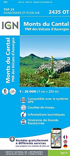
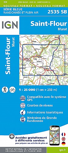
46 km - 1323 m d+
Au départ camping de Stalapos à Murat, on rejoint par la route/ ou navette vl (he oui) le Pas de Peyrol ( 25 km) puis on monte le Puy Mary (si autorisé sinon contournement), brèche Roland, Col de Cabre, descente de La Roche Percée, puis retour camping.
Murat : bourg typique - chapelle sur éperon basaltique.
Bredons : Site clunisien important ( prés camping)
 Actions
46 km

+1652 m/-1653 m

±06:00

Cliquez pour activer

Cliquez et déplacez la souris sur le profil pour analyser un tronçon (2 doigts sur mobile)
Commentaires
Pas encore de commentaire, connectez-vous pour en ajouter un.
Connectez-vous pour ajouter un commentaire
Longueur et nombre de points

45.86 km

423 pts
Denivelé et altitude
Calculés avec un seuil de 10 mètres et sans lissage (corrigé car densité de points faible)

1652 m

1653 m

1674 m

884 m

1271 m
Plus

Affichée 619 fois et téléchargée 39 fois depuis le 07.04.20 15:25
Carte + Profil [Afficher un aperçu]
<iframe src="https://www.visugpx.com/wtSjCGUPiD?iframe" allowfullscreen style="border: 0;width: 100%; height: 540px;" scrolling="no"></iframe>
Carte uniquement [Afficher un aperçu]
<iframe src="https://www.visugpx.com/wtSjCGUPiD?iframe&maponly" allowfullscreen style="border: 0;width: 100%; height: 540px;" scrolling="no"></iframe>


Nous avons pris en compte votre choix.
Vous souhaitez maîtriser les informations qui peuvent être recueillies lors de votre navigation et avez refusé les cookies de personnalisation des annonces, c'est légitime.
Parce que le service fourni par VisuGPX a un coût, accepteriez-vous quand même que nous utilisions des cookies pour vous présenter des annonces non personnalisées ? Ces cookies ne sont pas des cookies de tracking mais de simples des cookies techniques de diffusion qui garantissent le respect votre vie privée.


 Actions
  46 km
46 km +1652 m/-1653 m
 ±06:00
 Cliquez et déplacez la souris sur le profil pour analyser un tronçon (2 doigts sur mobile)
 181
181 363
363 138 [Légende]

 Pour soutenir VisuGPX, faites le bon choix