Sortie effectuée avec les randonneurs d'île de France
Mai 2017
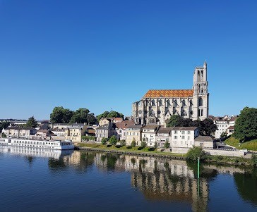
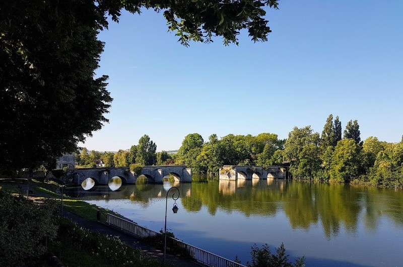
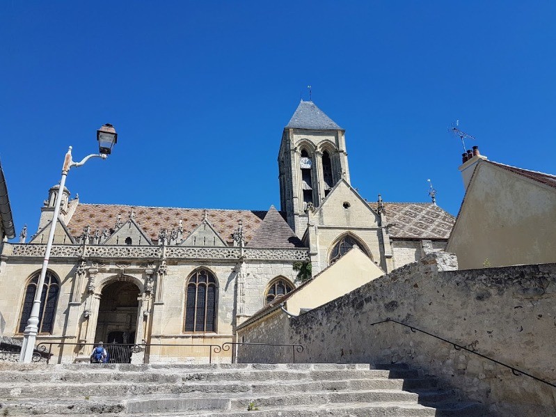
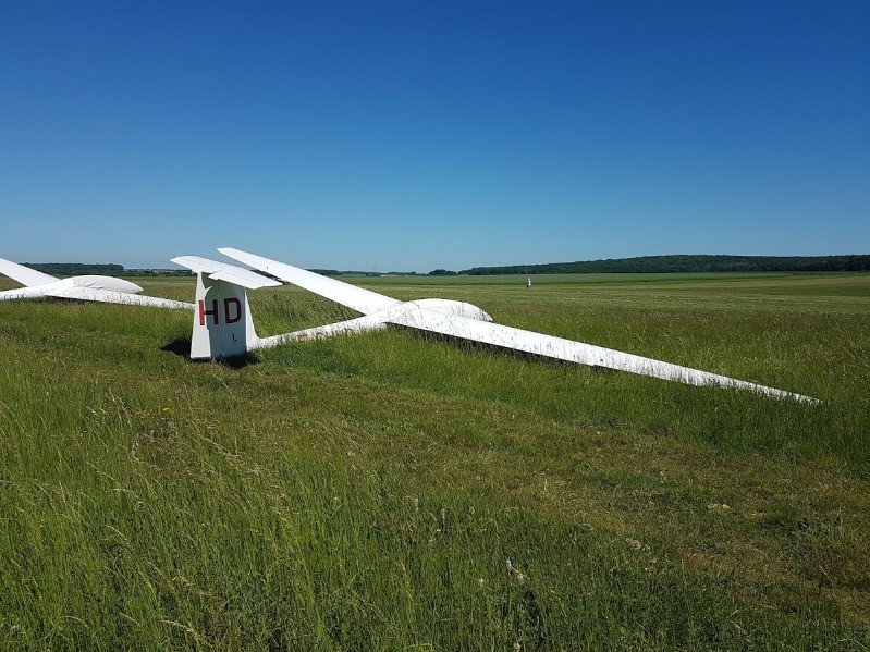
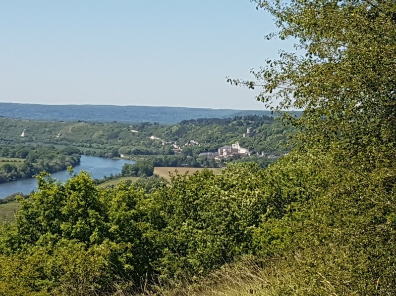
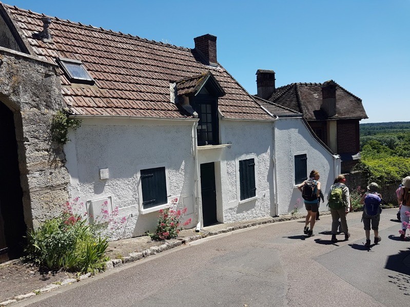
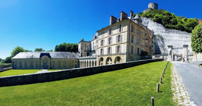
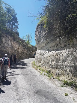
Magnifique parcours un peu vallonné parfois - gpx incomplet - Rando de 29 km - Cette rando devrait partir de la gare RER de Mantes
 Actions
23.3 km

+259 m
/-259 m
05:18

Cliquez pour activer


Cliquez et déplacez la souris sur le profil pour analyser un tronçon (2 doigts sur mobile)
Détails
Album
goo.gl/photos/ng7H3WtH6XsMjVNt9 Photos
Commentaires
Pas encore de commentaire, connectez-vous pour en ajouter un.
Connectez-vous pour ajouter un commentaire
Longueur et nombre de points

23.34 km

1422 pts
Denivelé et altitude
Calculés avec un seuil de 10 mètres et un lissage sur 5 points

258 m

259 m

195 m

61 m

122 m
Date et durée

25 mai 2017
09:53

25 mai 2017
16:29

06:36:00

05:18:27

01:17:33
Vitesses et denivelés horaires

4.4 km/h
Détail »

6.3 km/h
au km 19.1

232 m/h
0h44m09s

-261 m/h
0h34m05s
| km | Temps | Vitesse | Pause |
|---|
| 1 | 12'30" | 4.8 km/h | |
| 2 | 12'44" | 4.7 km/h | |
| 3 | 12'07" | 5 km/h | |
| 4 | 28'04" | 2.1 km/h | |
| 5 | 14'32" | 4.1 km/h | |
| 6 | 11'17" | 5.3 km/h | |
| 7 | 11'41" | 5.1 km/h | |
| 8 | 18'49" | 3.2 km/h | |
| 9 | 14'45" | 4.1 km/h | |
| 10 | 11'44" | 5.1 km/h | |
| 11 | 12'50" | 4.7 km/h | 52'47" |
| 12 | 11'32" | 5.2 km/h | |
| 13 | 18'23" | 3.3 km/h | |
| 14 | 15'24" | 3.9 km/h | |
| 15 | 13'40" | 4.4 km/h | 13'39" |
| 16 | 13'11" | 4.6 km/h | 03'02" |
| 17 | 11'54" | 5 km/h | |
| 18 | 11'51" | 5.1 km/h | |
| 19 | 10'53" | 5.5 km/h | |
| 20 | 11'09" | 5.4 km/h | 07'43" |
| 21 | 10'57" | 5.5 km/h | |
| 22 | 11'23" | 5.3 km/h | |
| 23 | 11'23" | 5.3 km/h | |
Dépense calorique (estimation)

479 Cal
90 Cal/h
Plus

Affichée 1798 fois et téléchargée 81 fois depuis le 02.01.19 17:22
KME
26.8 kilomètres effort
Carte + Profil [Afficher un aperçu]
<iframe src="https://www.visugpx.com/wlaJmLMHVk?iframe" allowfullscreen style="border: 0;width: 100%; height: 540px;" loading="lazy" scrolling="no"></iframe>
Carte uniquement [Afficher un aperçu]
<iframe src="https://www.visugpx.com/wlaJmLMHVk?iframe&maponly" allowfullscreen style="border: 0;width: 100%; height: 540px;" loading="lazy" scrolling="no"></iframe>


 ForumsToposLes plus belles randosSegments
 Offre Premium
 Connexion


 66
66 97
97 26 [Légende]


