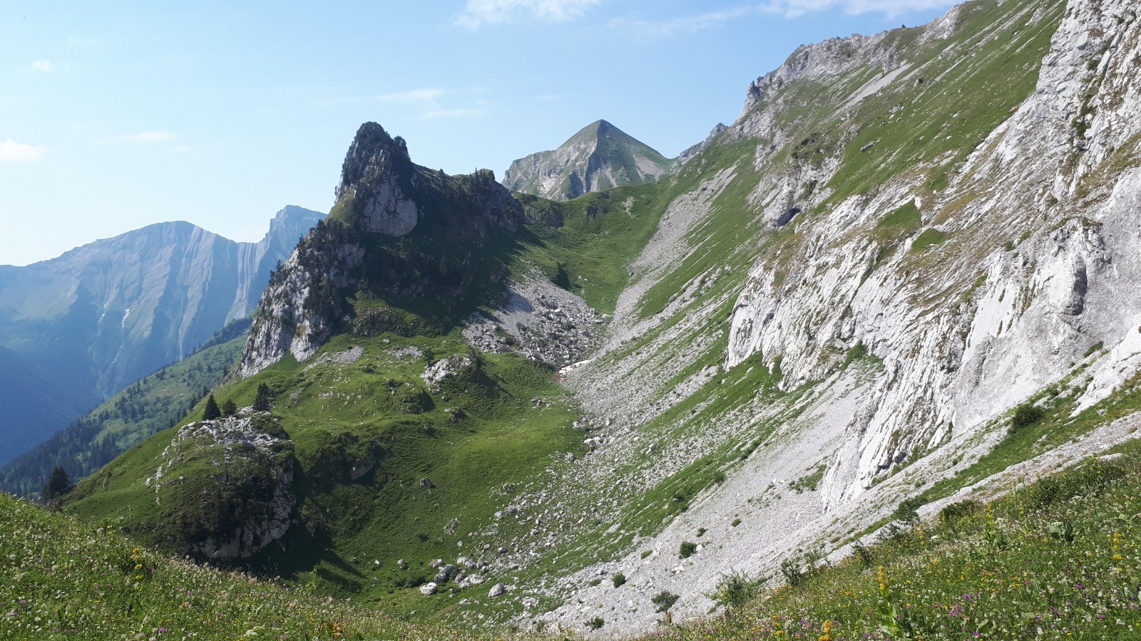
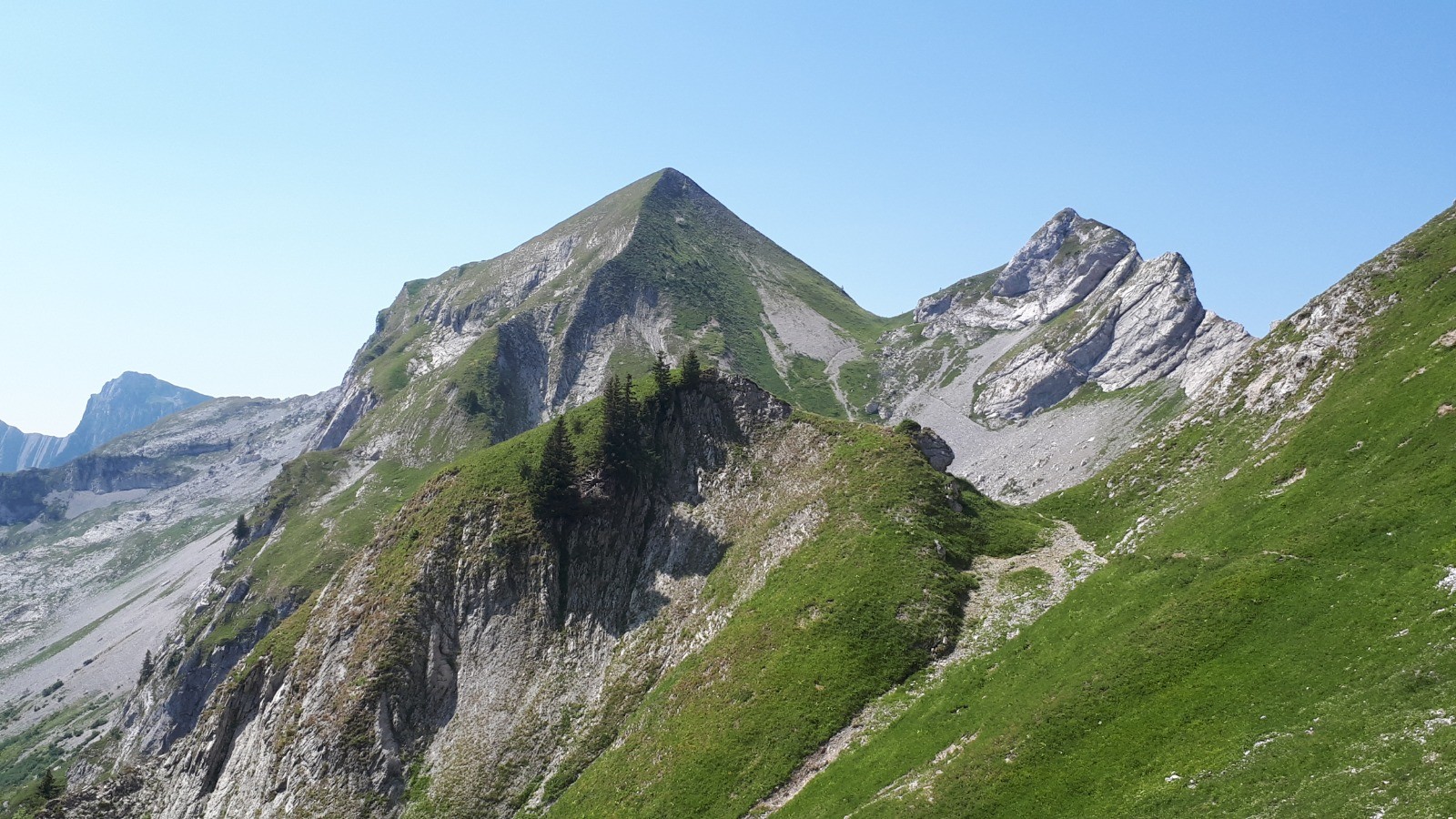
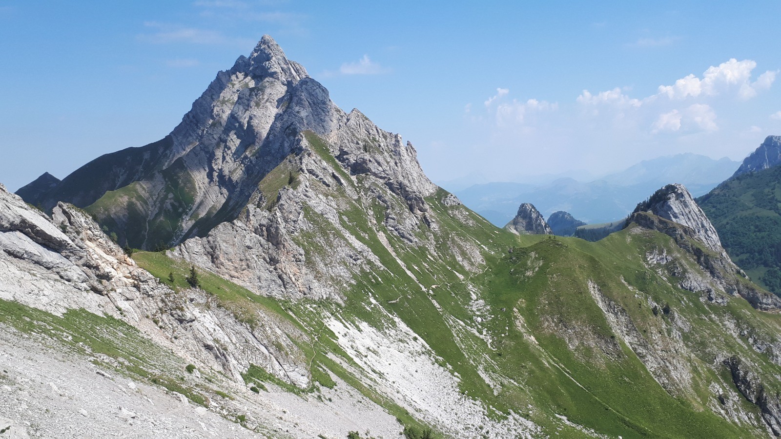
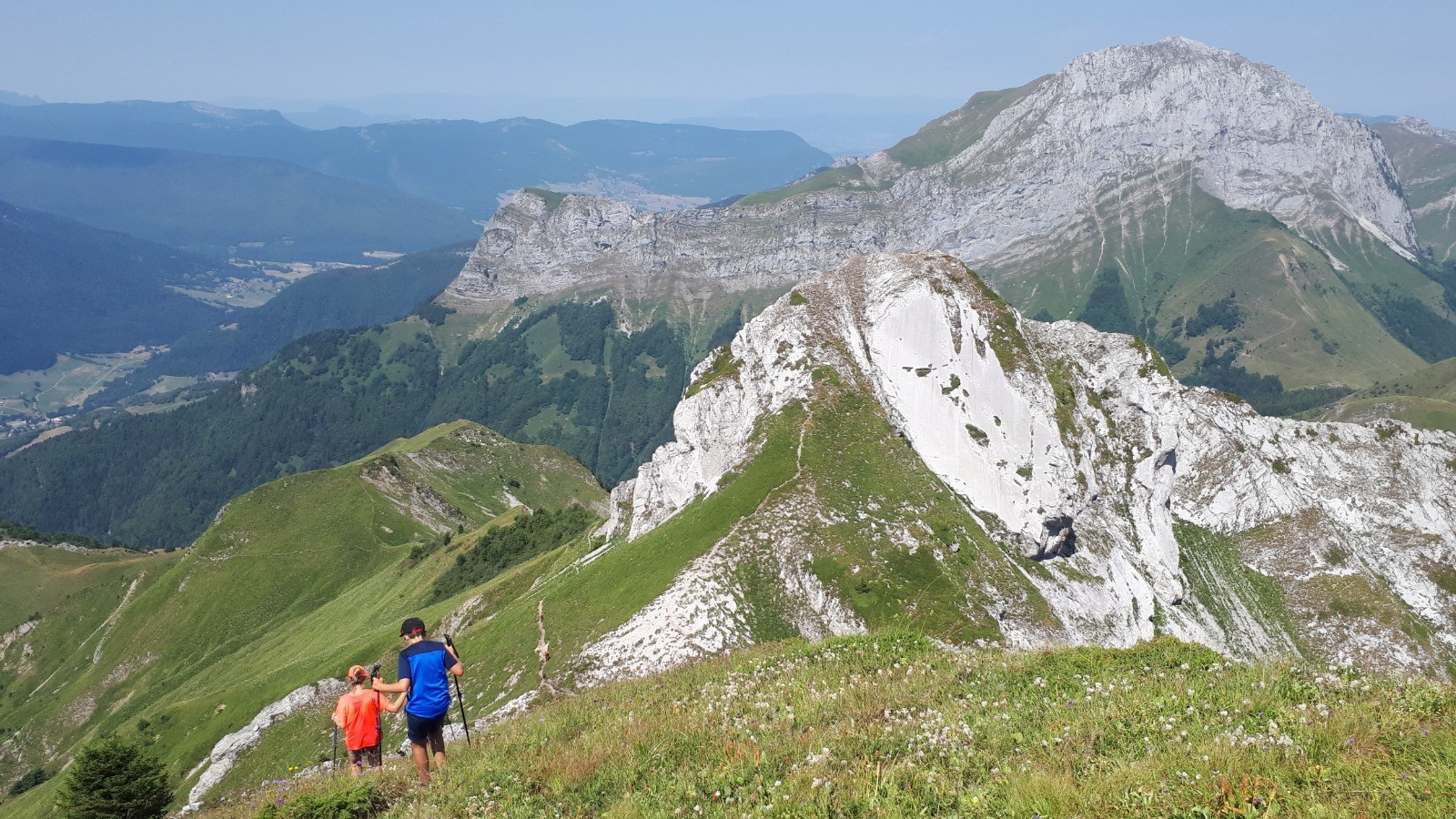
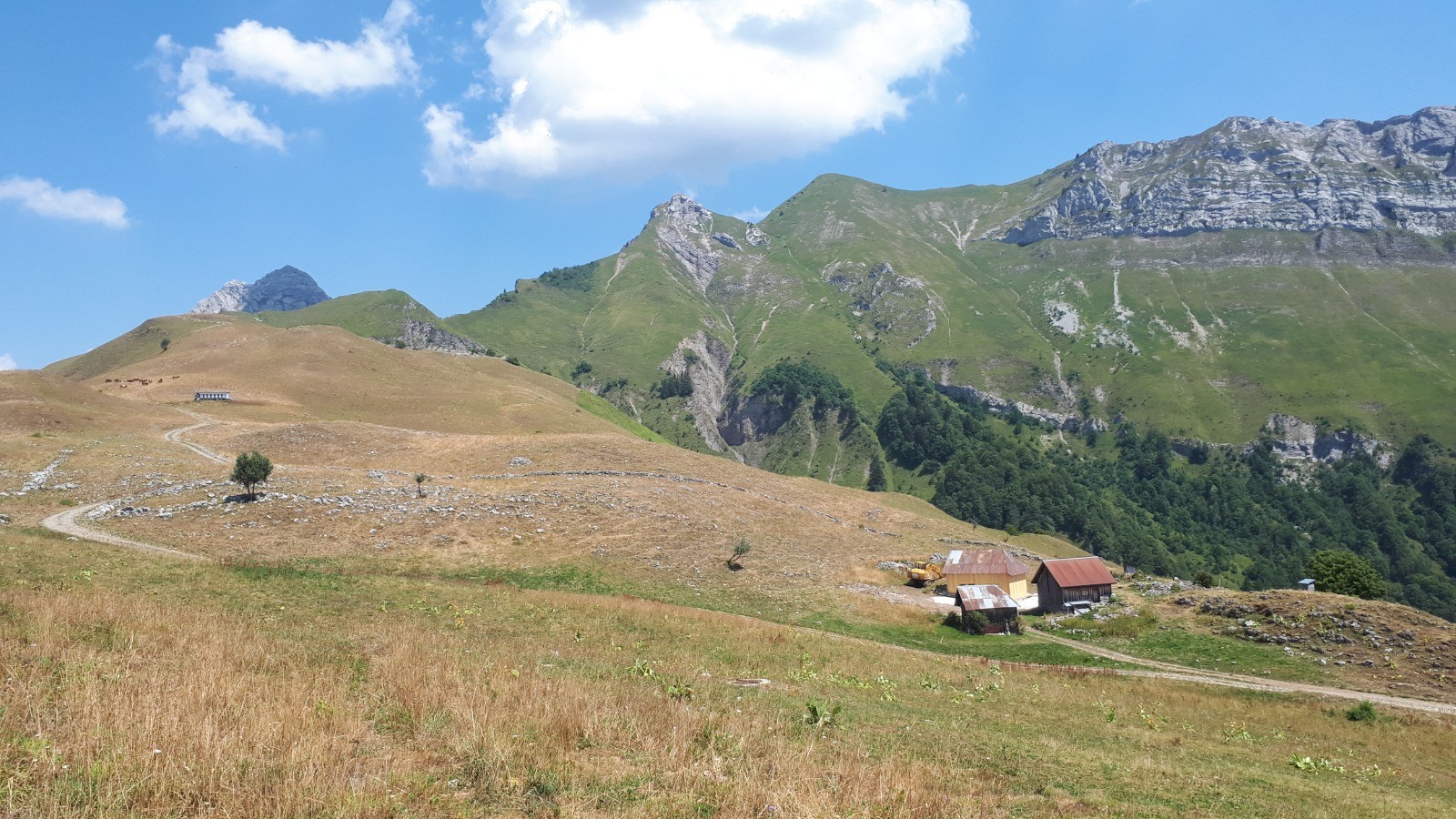
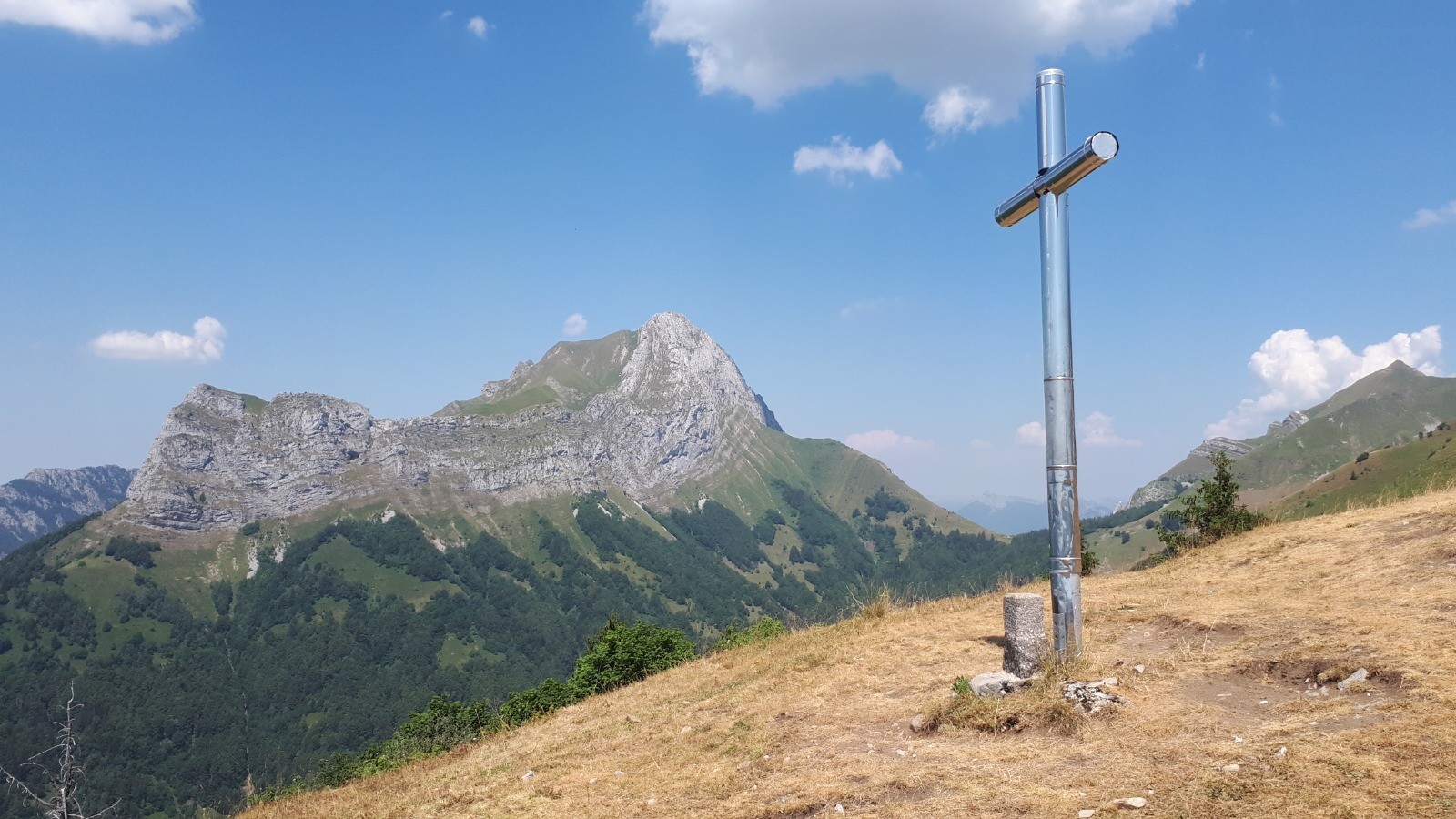
Mont de la Coche 2065m et Tour de l'Arcalod.
Rando en boucle.
Départ de Jarsy (Précherel) 990m
Montée : Par le col de Cherel 1495m - Plan de France - Pas de l'Ours - Col d'Orgeval 1743m - Mont de la Coche 2065m - Plan de la Limace - Croix d'Allant - Précherel
 Actions
21 km

+1459 m
/-1456 m
05:49

Cliquez pour activer


Cliquez et déplacez la souris sur le profil pour analyser un tronçon (2 doigts sur mobile)
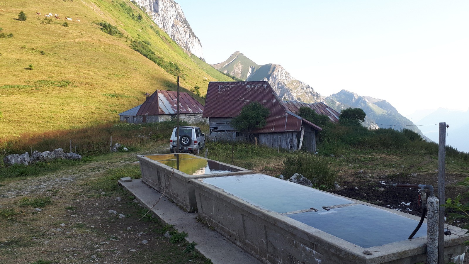
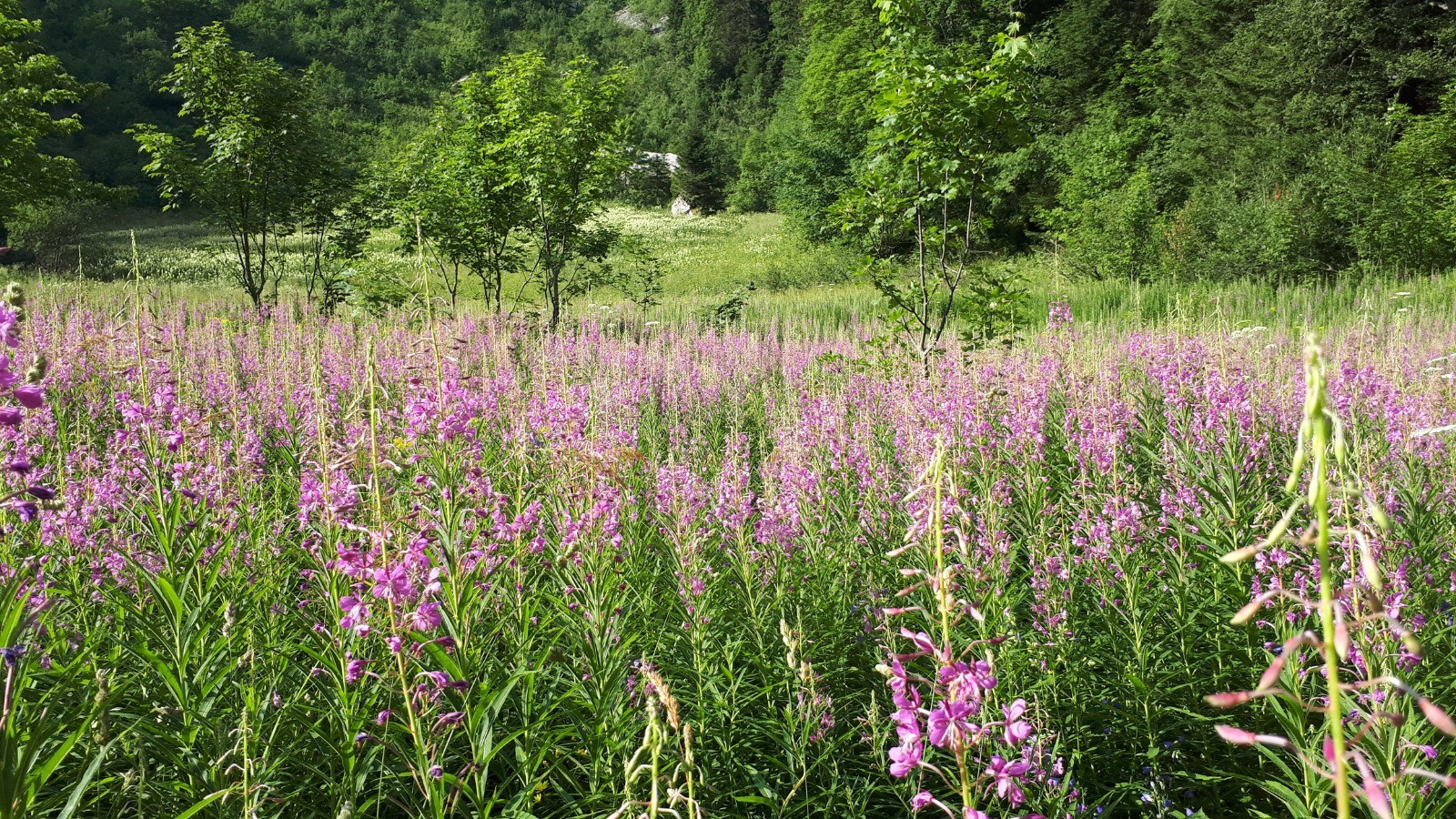
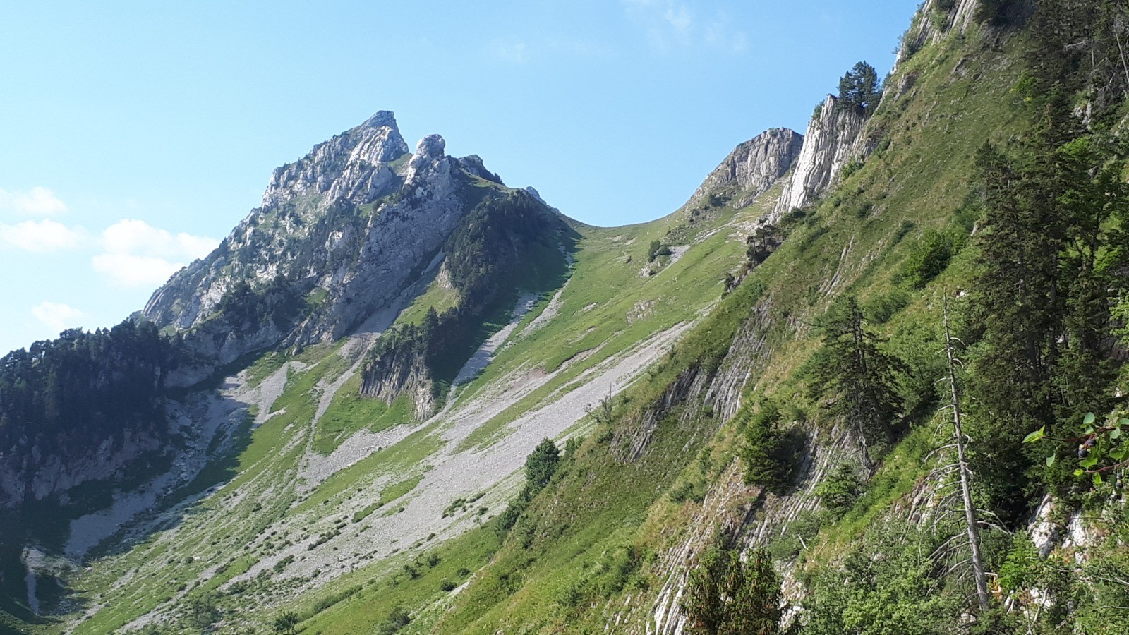
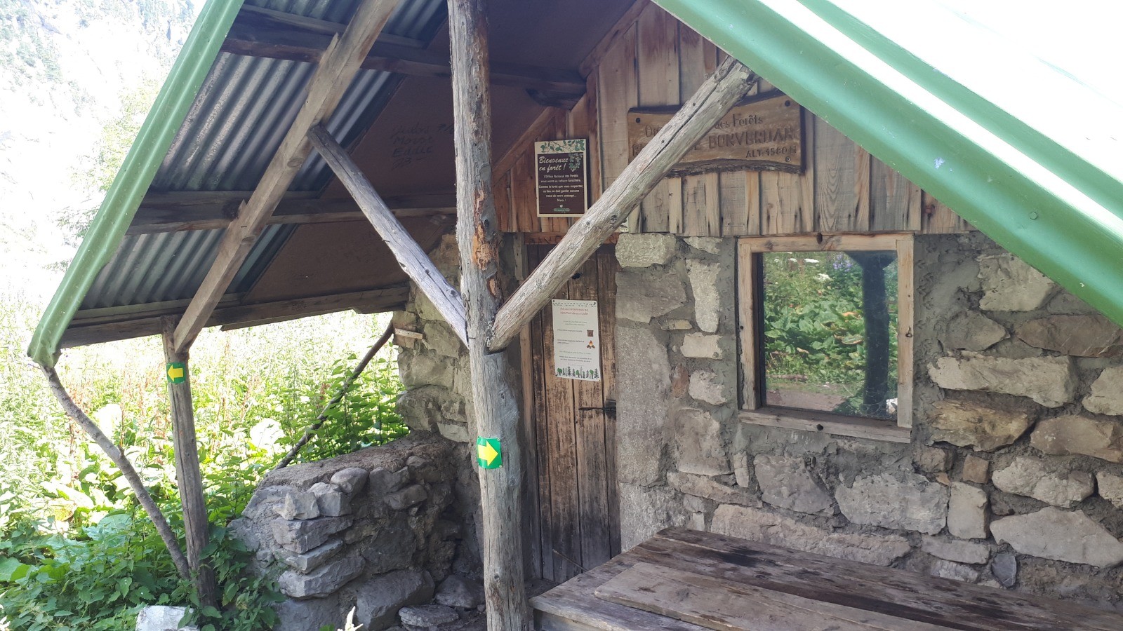
 Photos
Commentaires
Pas encore de commentaire, connectez-vous pour en ajouter un.
Connectez-vous pour ajouter un commentaire
Longueur et nombre de points

21 km

17560 pts
Denivelé et altitude
Calculés avec un seuil de 10 mètres et un lissage sur 5 points

1458 m

1456 m

1980 m

982 m

1483 m
Date et durée

01 août 2020
07:46

01 août 2020
14:45

06:59:18

05:49:33

01:09:45
Vitesses et denivelés horaires

3.6 km/h
Détail »

6.2 km/h
au km 20

478 m/h
2h55m09s

-537 m/h
2h35m26s
| km | Temps | Vitesse | Pause |
|---|
| 1 | 12'06" | 5 km/h | 01'27" |
| 2 | 15'51" | 3.8 km/h | |
| 3 | 18'12" | 3.3 km/h | |
| 4 | 17'08" | 3.5 km/h | 04'06" |
| 5 | 11'39" | 5.2 km/h | |
| 6 | 18'14" | 3.3 km/h | |
| 7 | 16'08" | 3.7 km/h | 02'43" |
| 8 | 20'38" | 2.9 km/h | 04'02" |
| 9 | 18'29" | 3.2 km/h | |
| 10 | 17'40" | 3.4 km/h | 01'24" |
| 11 | 19'05" | 3.1 km/h | 17'59" |
| 12 | 22'45" | 2.6 km/h | |
| 13 | 21'20" | 2.8 km/h | |
| 14 | 25'58" | 2.3 km/h | 29'07" |
| 15 | 20'16" | 3 km/h | |
| 16 | 15'11" | 4 km/h | |
| 17 | 13'12" | 4.5 km/h | 04'34" |
| 18 | 11'43" | 5.1 km/h | |
| 19 | 12'04" | 5 km/h | 03'53" |
| 20 | 11'13" | 5.3 km/h | |
| 21 | 10'43" | 5.6 km/h | |
Dépense calorique (estimation)

1597 Cal
274 Cal/h
Plus

Affichée 977 fois et téléchargée 76 fois depuis le 01.08.20 17:38
KME
40.4 kilomètres effort
Carte + Profil [Afficher un aperçu]
<iframe src="https://www.visugpx.com/wEbVx6IkET?iframe" allowfullscreen style="border: 0;width: 100%; height: 540px;" loading="lazy" scrolling="no"></iframe>
Carte uniquement [Afficher un aperçu]
<iframe src="https://www.visugpx.com/wEbVx6IkET?iframe&maponly" allowfullscreen style="border: 0;width: 100%; height: 540px;" loading="lazy" scrolling="no"></iframe>


 ForumsToposLes plus belles randosSegments
 Offre Premium
 Connexion


 139
139 319
319 180 [Légende]


