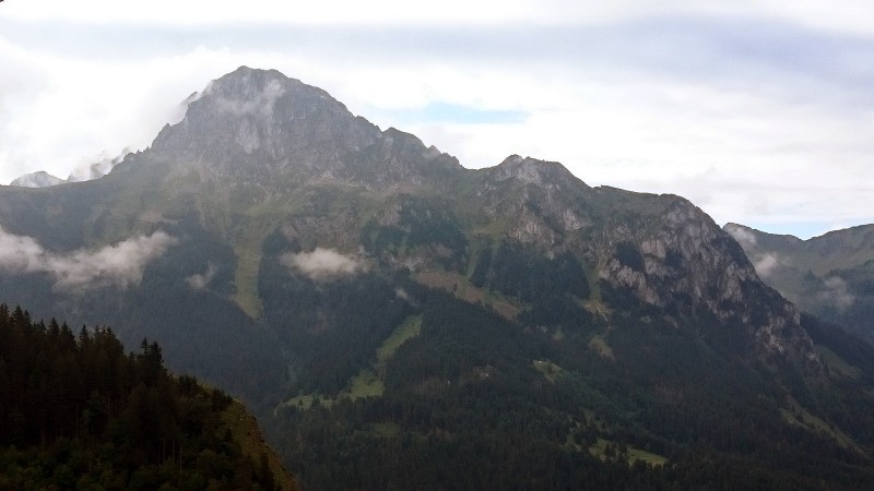
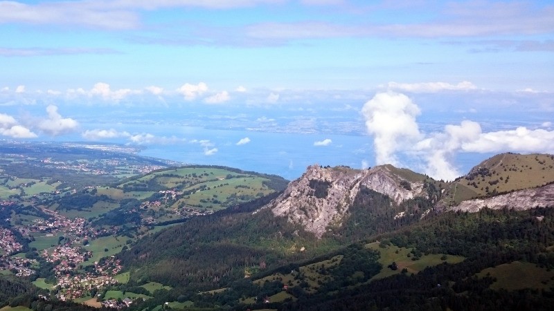
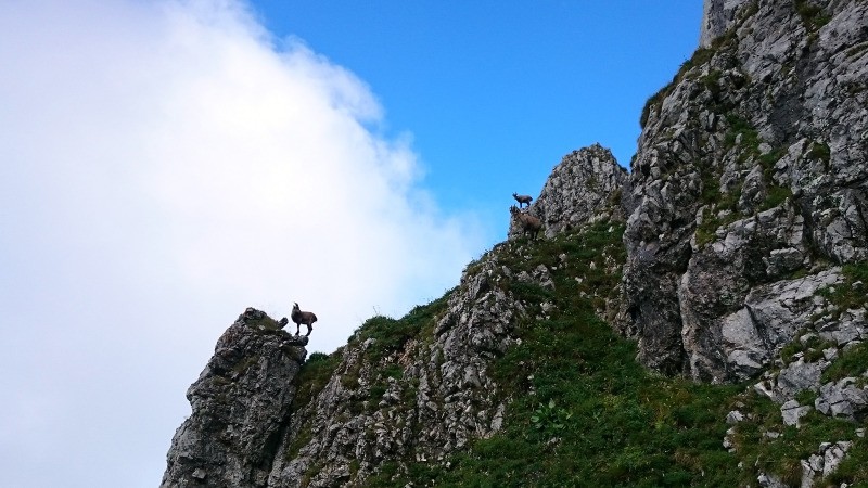
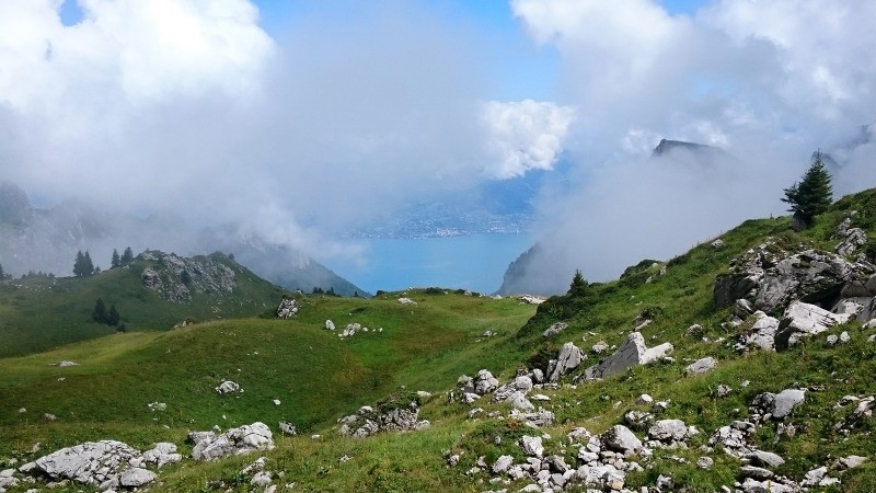
Première étape de cette traversée des Alpes, de Lugrin à Châtel.
 Actions
27.6 km

+2610 m
/-2013 m
07:47

Cliquez pour activer


Cliquez et déplacez la souris sur le profil pour analyser un tronçon (2 doigts sur mobile)
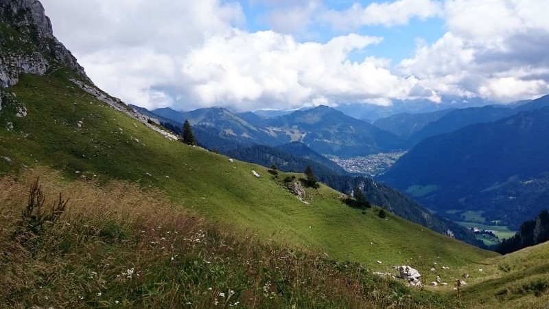
 Photos
Commentaires
Pas encore de commentaire, connectez-vous pour en ajouter un.
Connectez-vous pour ajouter un commentaire
Longueur et nombre de points

27.62 km

470 pts
Denivelé et altitude
Calculés avec un seuil de 5 mètres et un lissage sur 3 points

2610 m

2013 m

2207 m

439 m

1340 m
Date et durée

12 août 2017
07:13

12 août 2017
17:02

09:49:10

07:47:42

02:01:28
Vitesses et denivelés horaires

3.5 km/h
Détail »

13.2 km/h
au km 23.3

544 m/h
4h29m36s

-910 m/h
2h05m05s
| km | Temps | Vitesse | Pause |
|---|
| 1 | 13'01" | 4.6 km/h | |
| 2 | 21'26" | 2.8 km/h | |
| 3 | 19'34" | 3.1 km/h | |
| 4 | 13'43" | 4.4 km/h | |
| 5 | 17'18" | 3.5 km/h | |
| 6 | 30'30" | 2 km/h | |
| 7 | 19'49" | 3 km/h | 04'30" |
| 8 | 14'25" | 4.2 km/h | |
| 9 | 16'17" | 3.7 km/h | |
| 10 | 16'23" | 3.7 km/h | |
| 11 | 18'12" | 3.3 km/h | |
| 12 | 22'09" | 2.7 km/h | |
| 13 | 41'45" | 1.4 km/h | 05'59" |
| 14 | 29'55" | 2 km/h | |
| 15 | 19'57" | 3 km/h | |
| 16 | 11'16" | 5.3 km/h | |
| 17 | 14'18" | 4.2 km/h | |
| 18 | 07'29" | 8 km/h | |
| 19 | 13'07" | 4.6 km/h | 91'43" |
| 20 | 23'40" | 2.5 km/h | |
| 21 | 11'05" | 5.4 km/h | |
| 22 | 10'14" | 5.9 km/h | |
| 23 | 07'28" | 8 km/h | |
| 24 | 07'15" | 8.3 km/h | 19'16" |
| 25 | 11'37" | 5.2 km/h | |
| 26 | 11'22" | 5.3 km/h | |
| 27 | 12'27" | 4.8 km/h | |
Dépense calorique (estimation)

2233 Cal
286 Cal/h
Plus

Affichée 1489 fois et téléchargée 77 fois depuis le 07.04.20 15:25
KME
60.4 kilomètres effort
Carte + Profil [Afficher un aperçu]
<iframe src="https://www.visugpx.com/w4DLbqJxyG?iframe" allowfullscreen style="border: 0;width: 100%; height: 540px;" loading="lazy" scrolling="no"></iframe>
Carte uniquement [Afficher un aperçu]
<iframe src="https://www.visugpx.com/w4DLbqJxyG?iframe&maponly" allowfullscreen style="border: 0;width: 100%; height: 540px;" loading="lazy" scrolling="no"></iframe>

 ForumsToposLes plus belles randosSegments
 Offre Premium
 Connexion


 226
226 565
565 259 [Légende]


