Créer une traceBibliothèqueCartesCommunauté  ForumsToposLes plus belles randosSegments
 Offre Premium
 Connexion
ForumsToposLes plus belles randosSegmentsConnexionForumsToposLes plus belles randosSegmentsConnexionForumsToposLes plus belles randosSegmentsConnexion


Centrer Pente

 Cliquez et déplacez la souris sur le profil pour analyser un tronçon (2 doigts sur mobile)
Pas encore de commentaire, connectez-vous pour en ajouter un.
Connectez-vous pour ajouter un commentaire
4.8 km/h
Détail »
7.1 km/h
au km 7.3
293 m/h
0h17m46s
-338 m/h
0h17m12s
311 Cal
145 Cal/h

 32
32 48
48 3 [Légende]


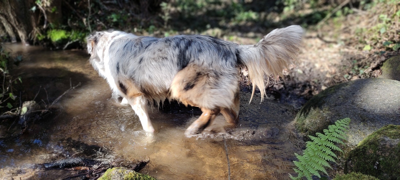
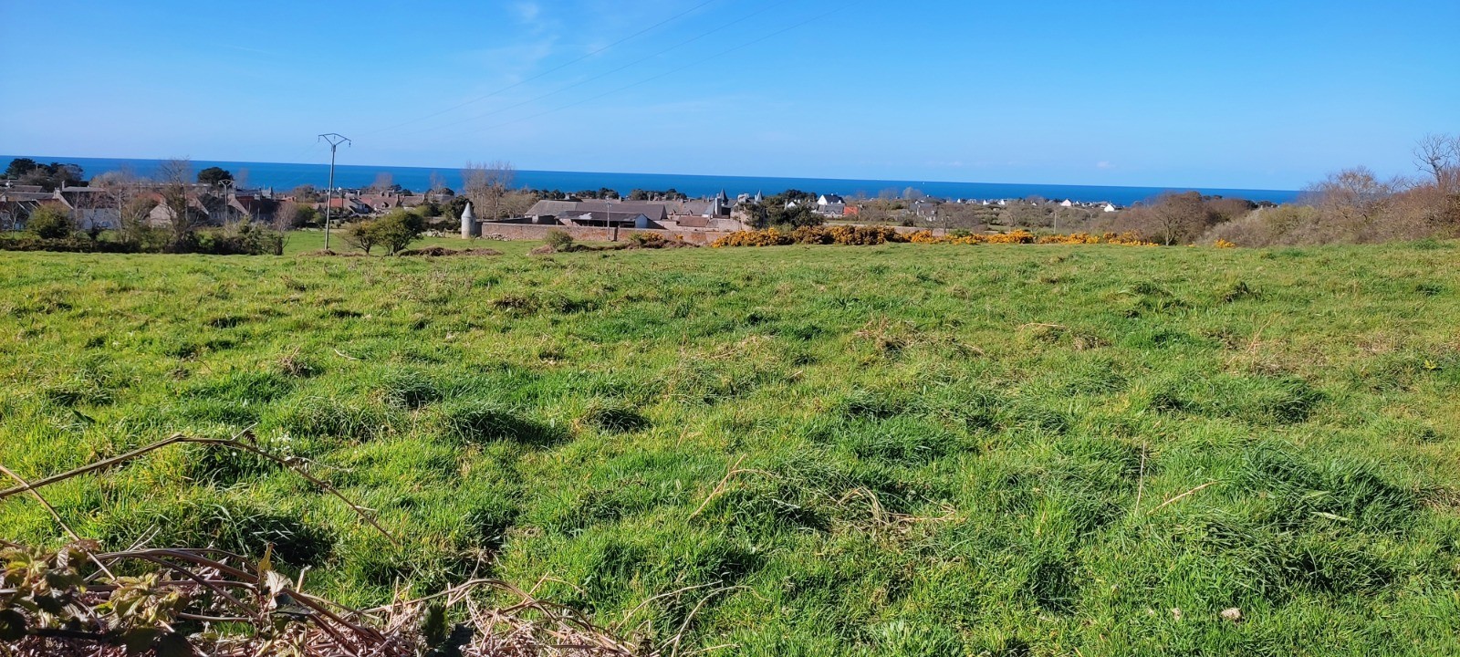
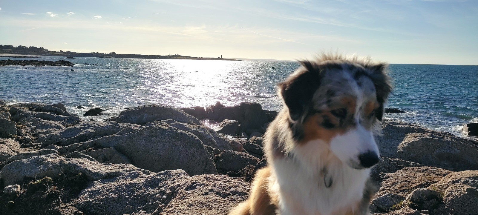
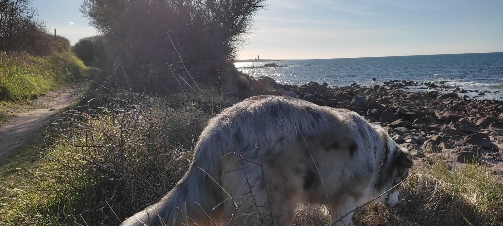
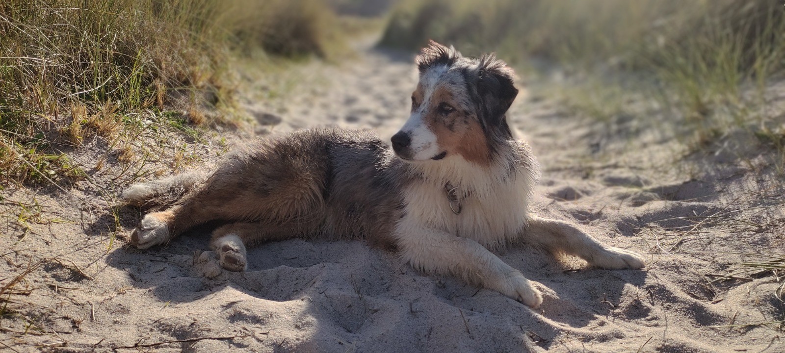
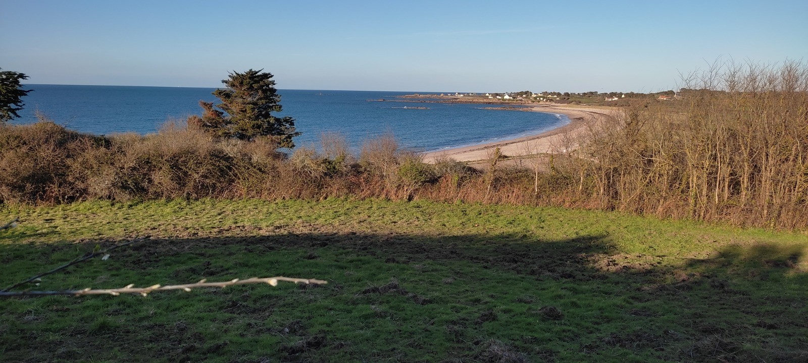
VisuGPX vous permet de créer, de suivre sur le terrain, d'analyser et de partager vos itinéraires GPS de façon simple et gratuite


© 2026 VisuGPX Aide Politique de confidentialité API GPX 3D


 10.2 km
 +132 m
 02:08
02:08
