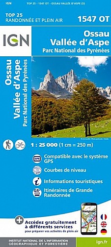
Je vous dévoile cette randonnée en réalisant une boucle complète empruntant la fameuse échelle métallique. Cette échelle et son sentier ont été réhabilités en 2013.
Le lac d'Estaens reste une valeur sûre du paysage des Pyrénées, par son environnement toujours aussi magnifique et sa relative facilité d'accession.
 Actions
11 km

+667 m/-605 m

04:45

Cliquez pour activer


Cliquez et déplacez la souris sur le profil pour analyser un tronçon (2 doigts sur mobile)
Commentaires
Pas encore de commentaire, connectez-vous pour en ajouter un.
Connectez-vous pour ajouter un commentaire
Longueur et nombre de points

11.03 km

1348 pts
Denivelé et altitude
Calculés avec un seuil de 10 mètres et un lissage sur 5 points

667 m

606 m

1787 m

1244 m

1528 m
Date et durée

31 juillet 2014
09:19

31 juillet 2014
15:59

06:39:59

04:40:21

01:59:38
Vitesses et denivelés horaires

2.4 km/h
Détail »

5 km/h
au km 0.2

322 m/h
1h56m57s

-280 m/h
1h58m38s
| km | Temps | Vitesse | Pause |
|---|
| 1 | 22'28" | 2.7 km/h | |
| 2 | 23'23" | 2.6 km/h | |
| 3 | 24'58" | 2.4 km/h | |
| 4 | 28'14" | 2.1 km/h | 06'56" |
| 5 | 21'49" | 2.8 km/h | 66'01" |
| 6 | 31'07" | 1.9 km/h | 30'36" |
| 7 | 35'15" | 1.7 km/h | 01'55" |
| 8 | 24'12" | 2.5 km/h | 12'50" |
| 9 | 22'06" | 2.7 km/h | |
| 10 | 25'39" | 2.3 km/h | |
| 11 | 19'59" | 3 km/h | |
Dépense calorique (estimation)

518 Cal
111 Cal/h
Plus

Affichée 3289 fois et téléchargée 420 fois depuis le 07.04.20 15:25
Carte + Profil [Afficher un aperçu]
<iframe src="https://www.visugpx.com/ugGXEC7RTe?iframe" allowfullscreen style="border: 0;width: 100%; height: 540px;" scrolling="no"></iframe>
Carte uniquement [Afficher un aperçu]
<iframe src="https://www.visugpx.com/ugGXEC7RTe?iframe&maponly" allowfullscreen style="border: 0;width: 100%; height: 540px;" scrolling="no"></iframe>

Nous avons pris en compte votre choix.
Vous souhaitez maîtriser les informations qui peuvent être recueillies lors de votre navigation et avez refusé les cookies de personnalisation des annonces, c'est légitime.
Parce que le service fourni par VisuGPX a un coût, accepteriez-vous quand même que nous utilisions des cookies pour vous présenter des annonces non personnalisées ? Ces cookies ne sont pas des cookies de tracking mais de simples des cookies techniques de diffusion qui garantissent le respect votre vie privée.


 Actions
  11 km
11 km +667 m/-605 m
 04:45
04:45

 Cliquez et déplacez la souris sur le profil pour analyser un tronçon (2 doigts sur mobile)
 78
78 165
165 83 [Légende]
 Pour soutenir VisuGPX, faites le bon choix