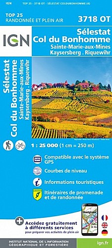
L’itinéraire débute au lieu-dit la Fonderie / Pisciculture (alt. 586m), 1km après Fréland, et passera par le Bas-Voirimont (alt. 780m), le Haut-Voirimont (alt. 892m), la jonction avec le GR5 (alt. 1014m) venant de Aubure et qu’on suivra, la Pierre des Trois Bans (alt. 1126m) avec son abri forestier au pied du Hirzberg, le Rehberg (alt. 1141m) , le sommet du Petit Brézouard (alt. 1208m), le refuge du CV de Ste Marie-aux-Mines (alt. 1170m), le sommet du Grand Brézouard (alt. 1229m), le lieu-dit Le Plat (alt. 1025m) pour retourner à la Fonderie le long du ruisseau de L’Ur.
 Actions
14 km

+775 m/-730 m

04:15

Cliquez pour activer


Cliquez et déplacez la souris sur le profil pour analyser un tronçon (2 doigts sur mobile)
Commentaires
Pas encore de commentaire, connectez-vous pour en ajouter un.
Connectez-vous pour ajouter un commentaire
Longueur et nombre de points

13.59 km

782 pts
Denivelé et altitude
Calculés avec un seuil de 10 mètres et un lissage sur 5 points

774 m

731 m

1223 m

591 m

962 m
Date et durée

08 avril 2018
09:46

08 avril 2018
16:09

06:22:44

04:18:28

02:04:16
Vitesses et denivelés horaires

3.2 km/h
Détail »

5.4 km/h
au km 6.7

353 m/h
1h57m03s

-347 m/h
1h52m04s
| km | Temps | Vitesse | Pause |
|---|
| 1 | 18'46" | 3.2 km/h | 02'31" |
| 2 | 18'52" | 3.2 km/h | 05'22" |
| 3 | 18'58" | 3.2 km/h | 10'05" |
| 4 | 25'41" | 2.3 km/h | |
| 5 | 14'55" | 4 km/h | |
| 6 | 22'52" | 2.6 km/h | 17'37" |
| 7 | 12'40" | 4.7 km/h | 03'29" |
| 8 | 13'52" | 4.3 km/h | |
| 9 | 18'31" | 3.2 km/h | 71'25" |
| 10 | 24'02" | 2.5 km/h | 06'29" |
| 11 | 26'11" | 2.3 km/h | 01'49" |
| 12 | 18'35" | 3.2 km/h | 05'29" |
| 13 | 14'45" | 4.1 km/h | |
Dépense calorique (estimation)

682 Cal
158 Cal/h
Plus

Affichée 806 fois et téléchargée 25 fois depuis le 07.04.20 15:25
Carte + Profil [Afficher un aperçu]
<iframe src="https://www.visugpx.com/uPHVzCoz0S?iframe" allowfullscreen style="border: 0;width: 100%; height: 540px;" scrolling="no"></iframe>
Carte uniquement [Afficher un aperçu]
<iframe src="https://www.visugpx.com/uPHVzCoz0S?iframe&maponly" allowfullscreen style="border: 0;width: 100%; height: 540px;" scrolling="no"></iframe>

Nous avons pris en compte votre choix.
Vous souhaitez maîtriser les informations qui peuvent être recueillies lors de votre navigation et avez refusé les cookies de personnalisation des annonces, c'est légitime.
Parce que le service fourni par VisuGPX a un coût, accepteriez-vous quand même que nous utilisions des cookies pour vous présenter des annonces non personnalisées ? Ces cookies ne sont pas des cookies de tracking mais de simples des cookies techniques de diffusion qui garantissent le respect votre vie privée.


 Actions
  14 km
14 km +775 m/-730 m
 04:15
04:15

 Cliquez et déplacez la souris sur le profil pour analyser un tronçon (2 doigts sur mobile)
 71
71 151
151 94 [Légende]
 Pour soutenir VisuGPX, faites le bon choix