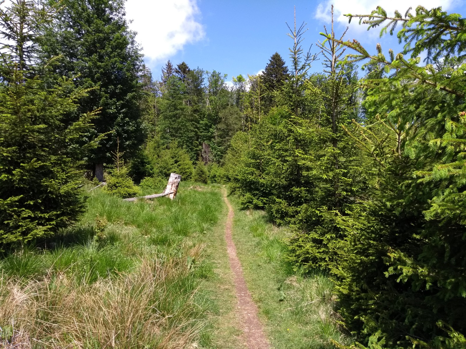
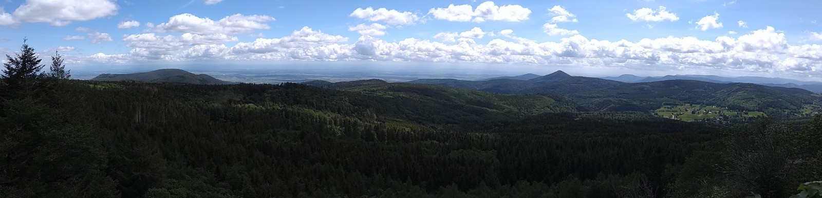
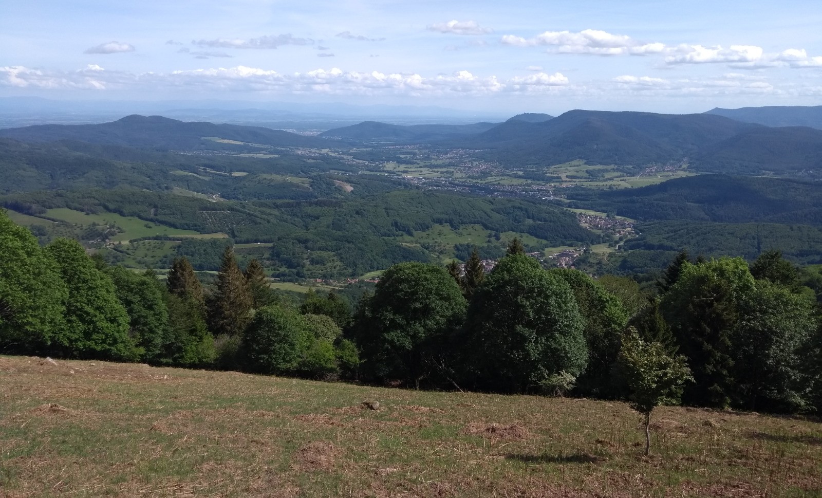
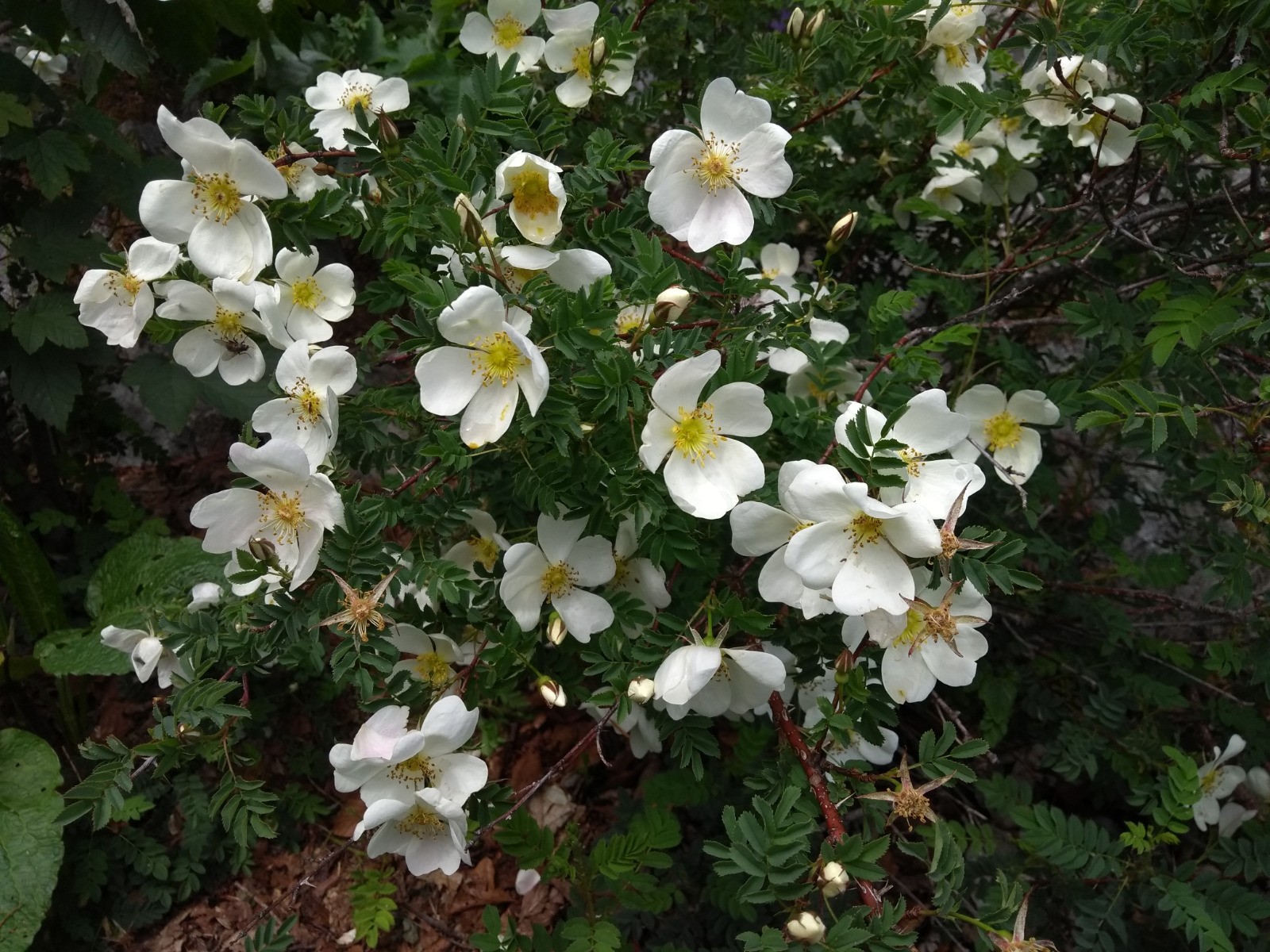
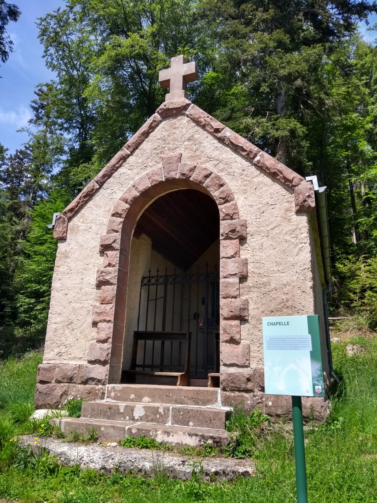
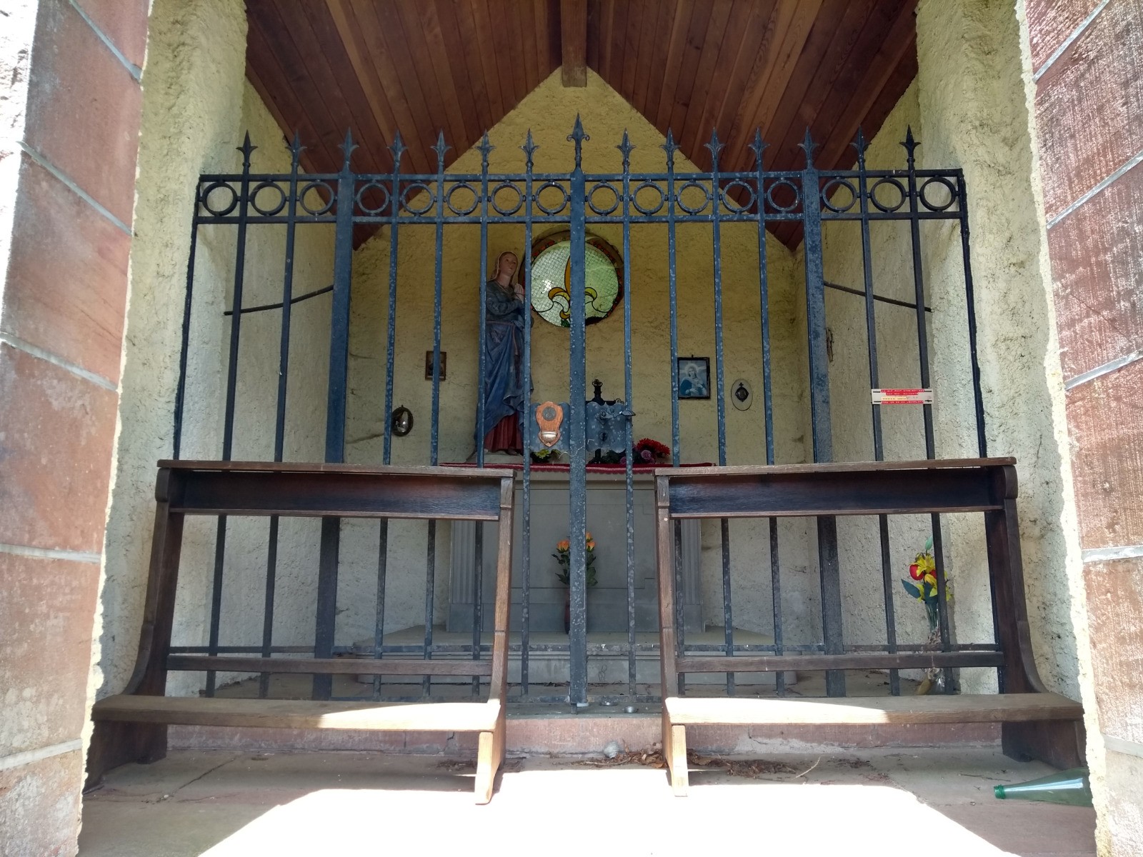
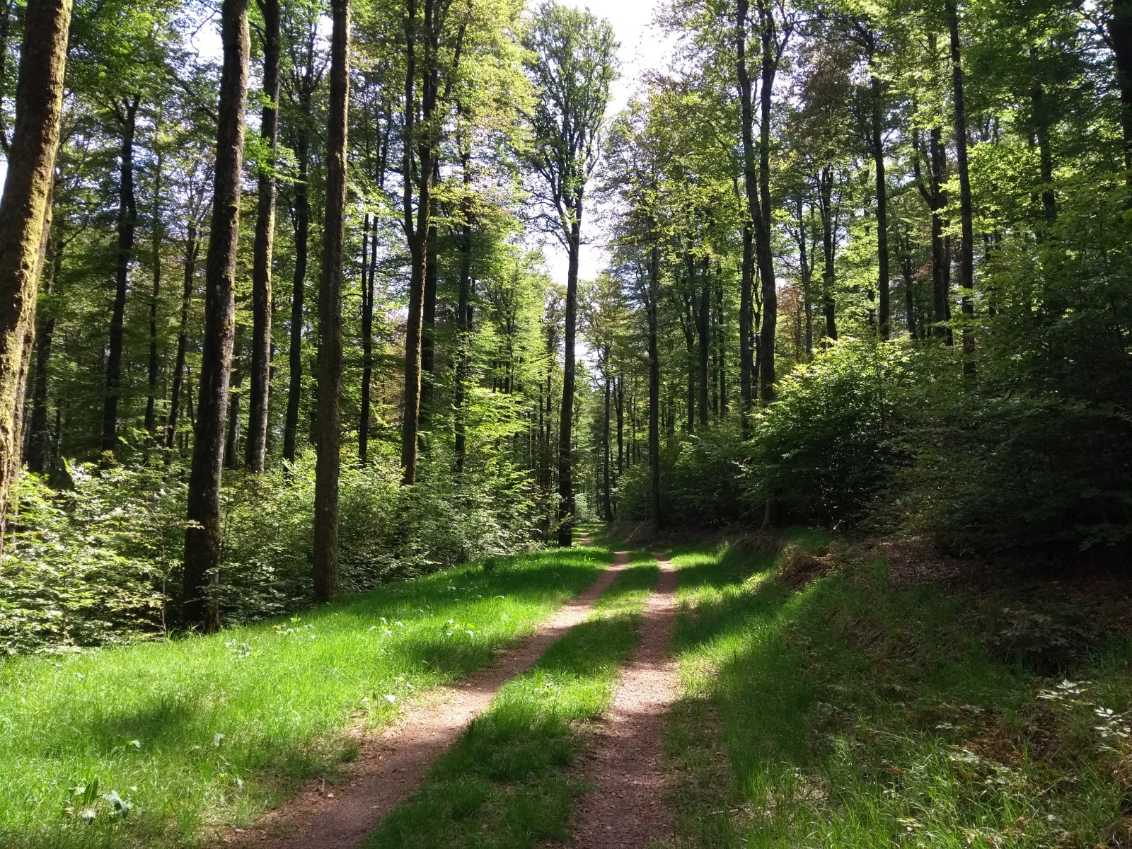
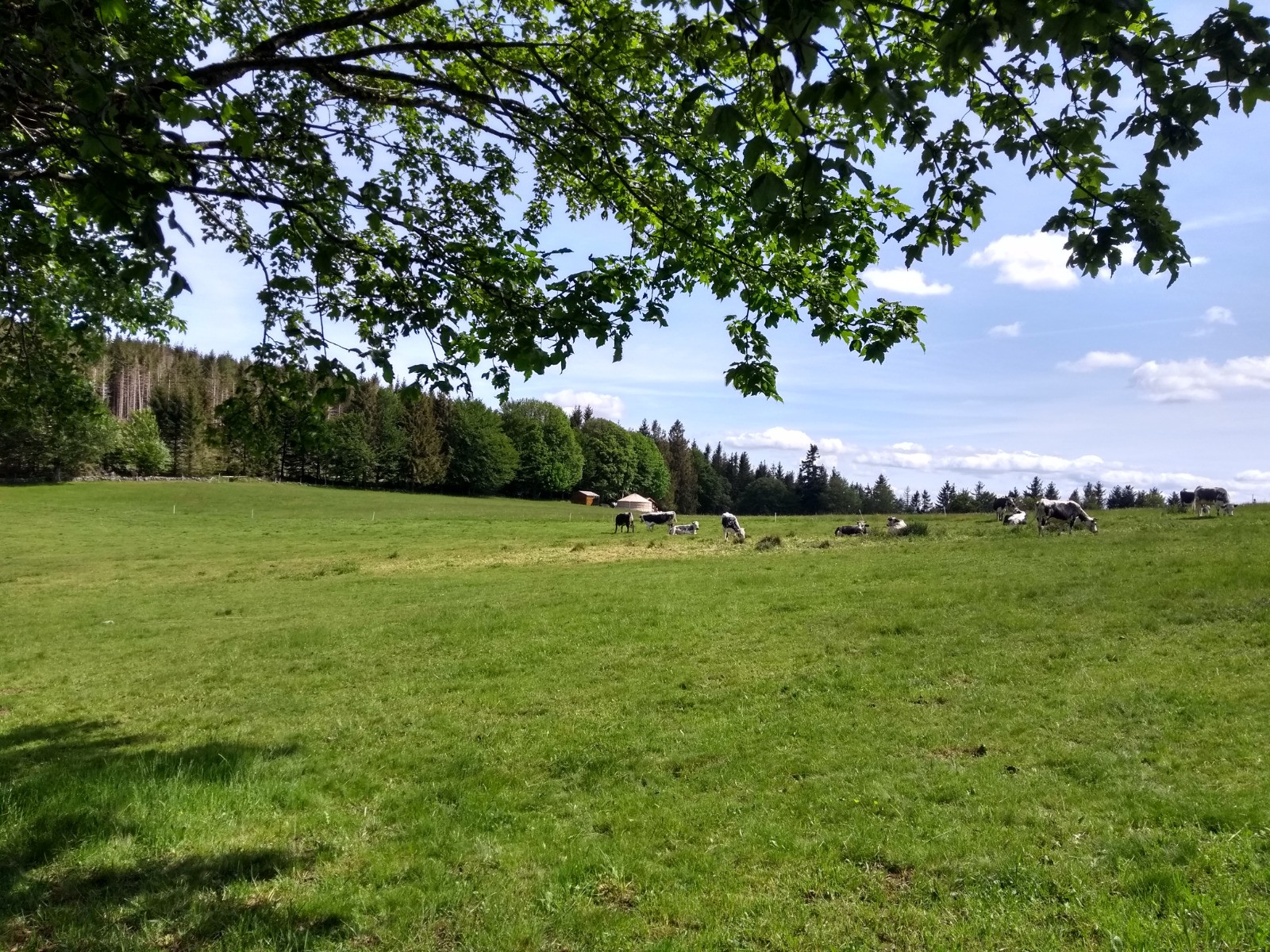
Le Hohwald - Welschbruch - Neuntelstein (rocher) - Chapelle Sainte Jeanne d'Arc - Vieille Métairie - Champ du Feu - Kaelberhuette - Col du Kreuzweg - Witterthalhof - Le Hohwald
 Actions
25.4 km

+1033 m
/-1039 m
04:20

Cliquez pour activer


Cliquez et déplacez la souris sur le profil pour analyser un tronçon (2 doigts sur mobile)
 Photos
Commentaires
Pas encore de commentaire, connectez-vous pour en ajouter un.
Connectez-vous pour ajouter un commentaire
Longueur et nombre de points

25.44 km

2146 pts
Denivelé et altitude
Calculés avec un seuil de 10 mètres et un lissage sur 5 points

1032 m

1039 m

1091 m

559 m

826 m
Date et durée

24 mai 2020
12:23

24 mai 2020
17:07

04:43:45

04:20:20

00:23:25
Vitesses et denivelés horaires

5.9 km/h
Détail »

8.5 km/h
au km 5.8

431 m/h
2h06m34s

-634 m/h
1h27m54s
| km | Temps | Vitesse | Pause |
|---|
| 1 | 10'42" | 5.6 km/h | |
| 2 | 10'20" | 5.8 km/h | |
| 3 | 10'30" | 5.7 km/h | |
| 4 | 11'06" | 5.4 km/h | |
| 5 | 11'23" | 5.3 km/h | |
| 6 | 12'08" | 4.9 km/h | 02'51" |
| 7 | 08'19" | 7.2 km/h | |
| 8 | 08'20" | 7.2 km/h | |
| 9 | 09'40" | 6.2 km/h | 02'26" |
| 10 | 10'03" | 6 km/h | |
| 11 | 11'16" | 5.3 km/h | 02'02" |
| 12 | 10'45" | 5.6 km/h | 01'48" |
| 13 | 10'55" | 5.5 km/h | |
| 14 | 10'39" | 5.6 km/h | |
| 15 | 10'22" | 5.8 km/h | |
| 16 | 10'25" | 5.8 km/h | |
| 17 | 10'32" | 5.7 km/h | 14'18" |
| 18 | 10'01" | 6 km/h | |
| 19 | 09'18" | 6.5 km/h | |
| 20 | 11'56" | 5 km/h | |
| 21 | 10'00" | 6 km/h | |
| 22 | 09'22" | 6.4 km/h | |
| 23 | 09'22" | 6.4 km/h | |
| 24 | 09'08" | 6.6 km/h | |
| 25 | 09'18" | 6.4 km/h | |
Dépense calorique (estimation)

1016 Cal
234 Cal/h
Plus

Affichée 1073 fois et téléchargée 62 fois depuis le 07.06.20 20:59
KME
39.2 kilomètres effort
Carte + Profil [Afficher un aperçu]
<iframe src="https://www.visugpx.com/u8buce54OB?iframe" allowfullscreen style="border: 0;width: 100%; height: 540px;" loading="lazy" scrolling="no"></iframe>
Carte uniquement [Afficher un aperçu]
<iframe src="https://www.visugpx.com/u8buce54OB?iframe&maponly" allowfullscreen style="border: 0;width: 100%; height: 540px;" loading="lazy" scrolling="no"></iframe>

")
 ForumsToposLes plus belles randosSegments
 Offre Premium
 Connexion


 91
91 176
176 65 [Légende]


