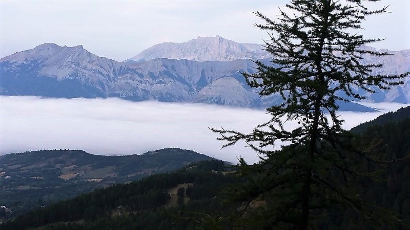
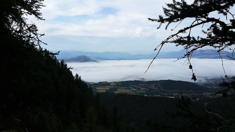
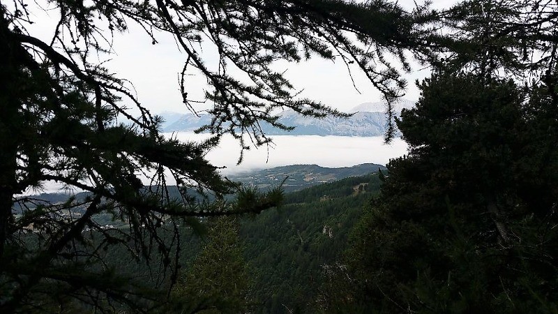
Départ au dessus de la station de Chaillol parking n° 2, prendre le sentier qui mont vers le pic de Chaillol, Bifurquer ensuite par le sentier qui va vers le col des Charmelies. Prendre nord le sentier qui monte vers le Crest et le col de la Venasque Clémens. Retour vers le parking par le sentier du col de la Pisse.
 Actions
11.4 km

+869 m
/-769 m
04:43

Cliquez pour activer


Cliquez et déplacez la souris sur le profil pour analyser un tronçon (2 doigts sur mobile)
 Photos
Commentaires
Pas encore de commentaire, connectez-vous pour en ajouter un.
Connectez-vous pour ajouter un commentaire
Longueur et nombre de points

11.41 km

1475 pts
Denivelé et altitude
Calculés avec un seuil de 10 mètres et un lissage sur 5 points

868 m

769 m

2485 m

1616 m

2055 m
Date et durée

22 août 2019
08:54

22 août 2019
15:32

06:37:59

04:43:30

01:54:29
Vitesses et denivelés horaires

2.4 km/h
Détail »

4.1 km/h
au km 0.6

349 m/h
2h27m58s

-350 m/h
2h09m54s
| km | Temps | Vitesse | Pause |
|---|
| 1 | 15'47" | 3.8 km/h | |
| 2 | 24'32" | 2.4 km/h | |
| 3 | 24'09" | 2.5 km/h | 10'49" |
| 4 | 35'30" | 1.7 km/h | 10'23" |
| 5 | 28'28" | 2.1 km/h | |
| 6 | 29'45" | 2 km/h | 78'49" |
| 7 | 21'17" | 2.8 km/h | |
| 8 | 24'49" | 2.4 km/h | 03'39" |
| 9 | 22'14" | 2.7 km/h | |
| 10 | 25'21" | 2.4 km/h | 03'14" |
| 11 | 24'57" | 2.4 km/h | 05'51" |
Dépense calorique (estimation)

697 Cal
147 Cal/h
Plus

Affichée 519 fois et téléchargée 40 fois depuis le 21.08.19 11:32
KME
22.7 kilomètres effort
Carte + Profil [Afficher un aperçu]
<iframe src="https://www.visugpx.com/t46mAWnyFc?iframe" allowfullscreen style="border: 0;width: 100%; height: 540px;" loading="lazy" scrolling="no"></iframe>
Carte uniquement [Afficher un aperçu]
<iframe src="https://www.visugpx.com/t46mAWnyFc?iframe&maponly" allowfullscreen style="border: 0;width: 100%; height: 540px;" loading="lazy" scrolling="no"></iframe>

 ForumsToposLes plus belles randosSegments
 Offre Premium
 Connexion


 93
93 203
203 78 [Légende]


