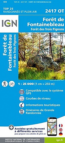
Agréable promenade avec des paysages variés, en forêt de feuillus puis de résineux, passage sur une platière (grottes, mares, bruyères...) puis on longe la campagne avant de revenir vers le sud par la Montignotte.
A faire tôt au printemps pour le tapis de jacynthes des bois ou debut juin pour les fraises des bois...
 Actions
6 km

+77 m/-77 m

02:00

Cliquez pour activer


Cliquez et déplacez la souris sur le profil pour analyser un tronçon (2 doigts sur mobile)
Commentaires
Pas encore de commentaire, connectez-vous pour en ajouter un.
Connectez-vous pour ajouter un commentaire
Longueur et nombre de points

5.69 km

344 pts
Denivelé et altitude
Calculés avec un seuil de 10 mètres et un lissage sur 5 points

77 m

77 m

129 m

78 m

99 m
Date et durée

06 juin 2018
14:16

06 juin 2018
16:42

02:25:59

02:05:18

00:20:41
Vitesses et denivelés horaires

2.7 km/h
Détail »

4.1 km/h
au km 4.2

116 m/h
0h24m39s

-121 m/h
0h18m20s
| km | Temps | Vitesse | Pause |
|---|
| 1 | 17'41" | 3.4 km/h | |
| 2 | 20'43" | 2.9 km/h | |
| 3 | 30'07" | 2 km/h | 11'15" |
| 4 | 18'08" | 3.3 km/h | 03'05" |
| 5 | 25'06" | 2.4 km/h | 03'14" |
Dépense calorique (estimation)

74 Cal
35 Cal/h
Plus

Affichée 625 fois et téléchargée 16 fois depuis le 07.04.20 15:25
Carte + Profil [Afficher un aperçu]
<iframe src="https://www.visugpx.com/sckin9mc2i?iframe" allowfullscreen style="border: 0;width: 100%; height: 540px;" scrolling="no"></iframe>
Carte uniquement [Afficher un aperçu]
<iframe src="https://www.visugpx.com/sckin9mc2i?iframe&maponly" allowfullscreen style="border: 0;width: 100%; height: 540px;" scrolling="no"></iframe>


Nous avons pris en compte votre choix.
Vous souhaitez maîtriser les informations qui peuvent être recueillies lors de votre navigation et avez refusé les cookies de personnalisation des annonces, c'est légitime.
Parce que le service fourni par VisuGPX a un coût, accepteriez-vous quand même que nous utilisions des cookies pour vous présenter des annonces non personnalisées ? Ces cookies ne sont pas des cookies de tracking mais de simples des cookies techniques de diffusion qui garantissent le respect votre vie privée.


 Actions
  6 km
6 km +77 m/-77 m
 02:00
02:00

 Cliquez et déplacez la souris sur le profil pour analyser un tronçon (2 doigts sur mobile)
 20
20 30
30 2 [Légende]

 Pour soutenir VisuGPX, faites le bon choix