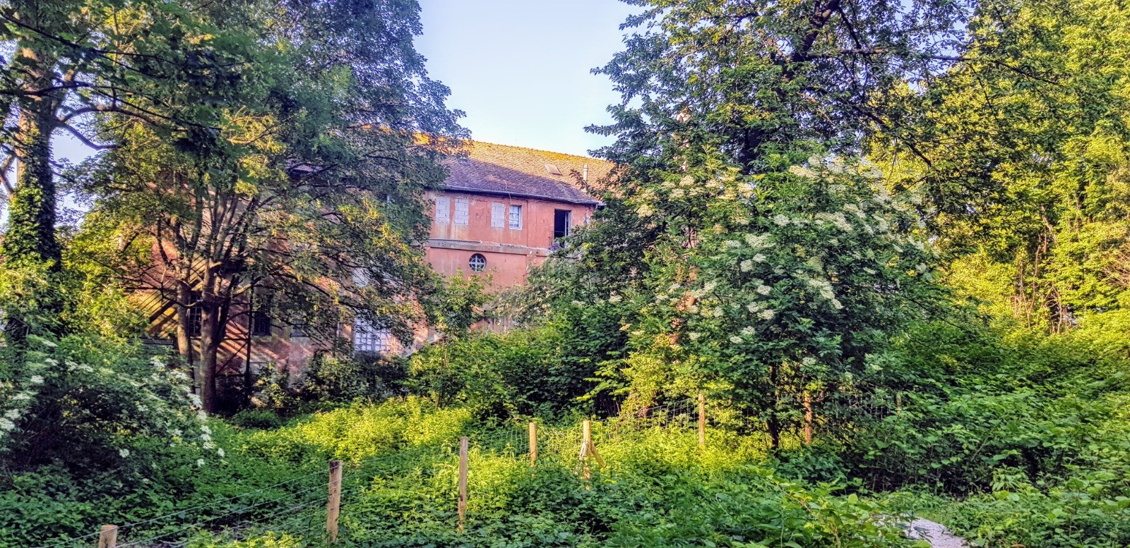
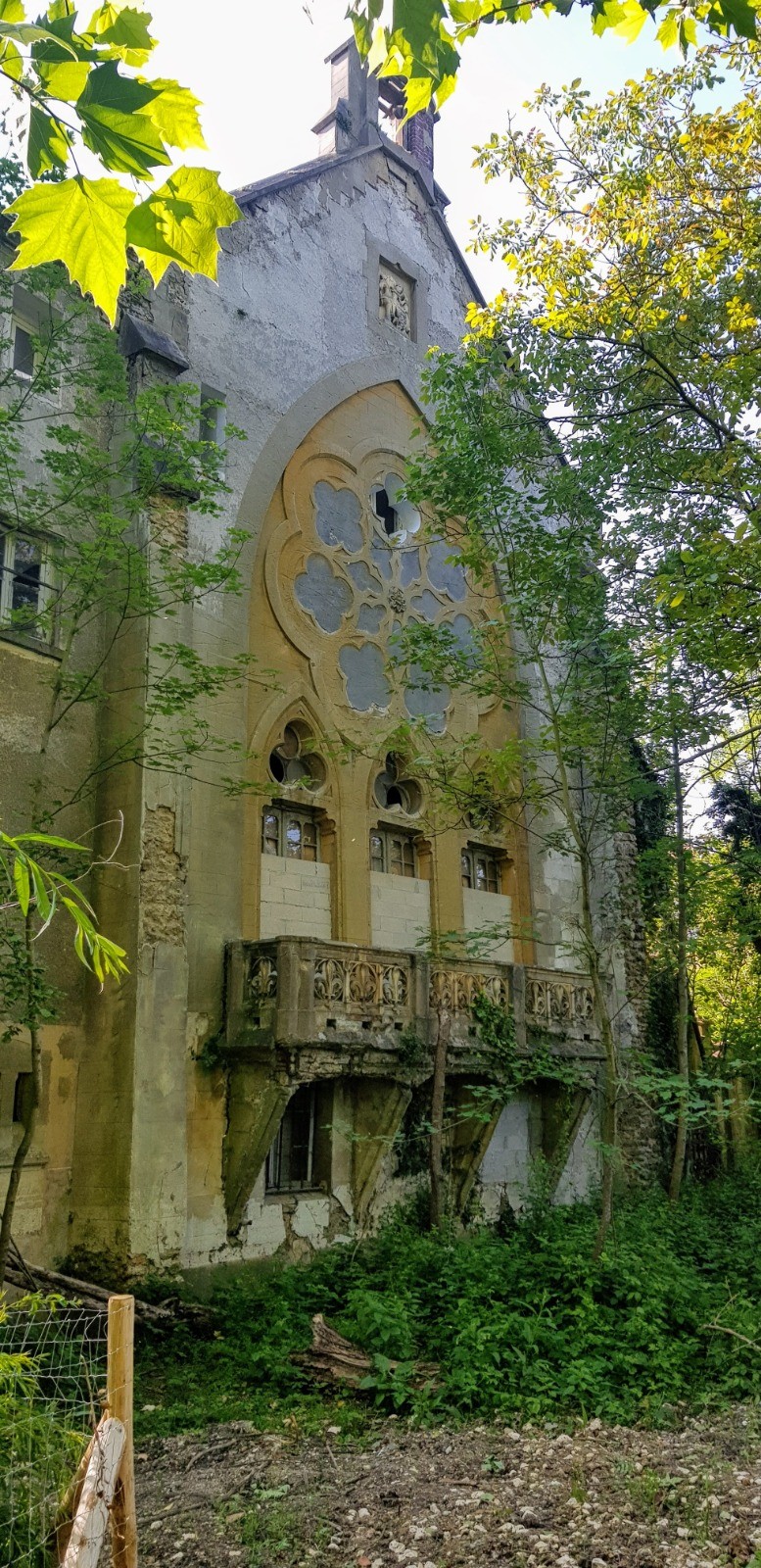
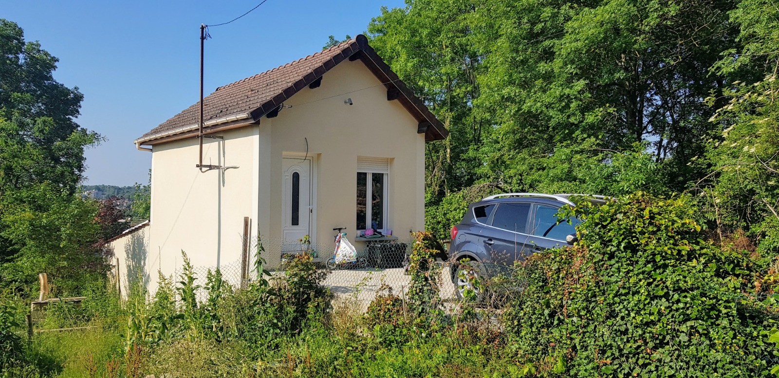
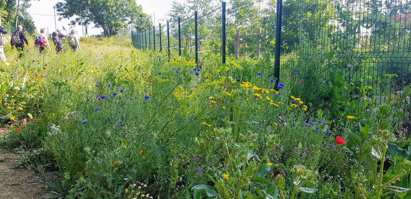
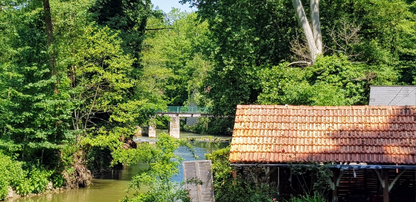
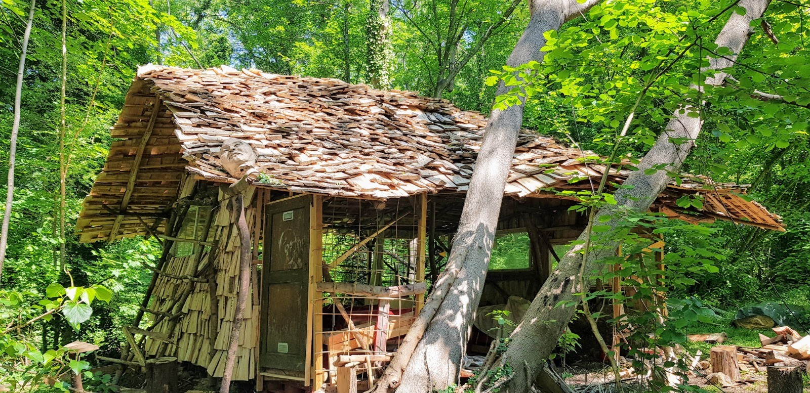
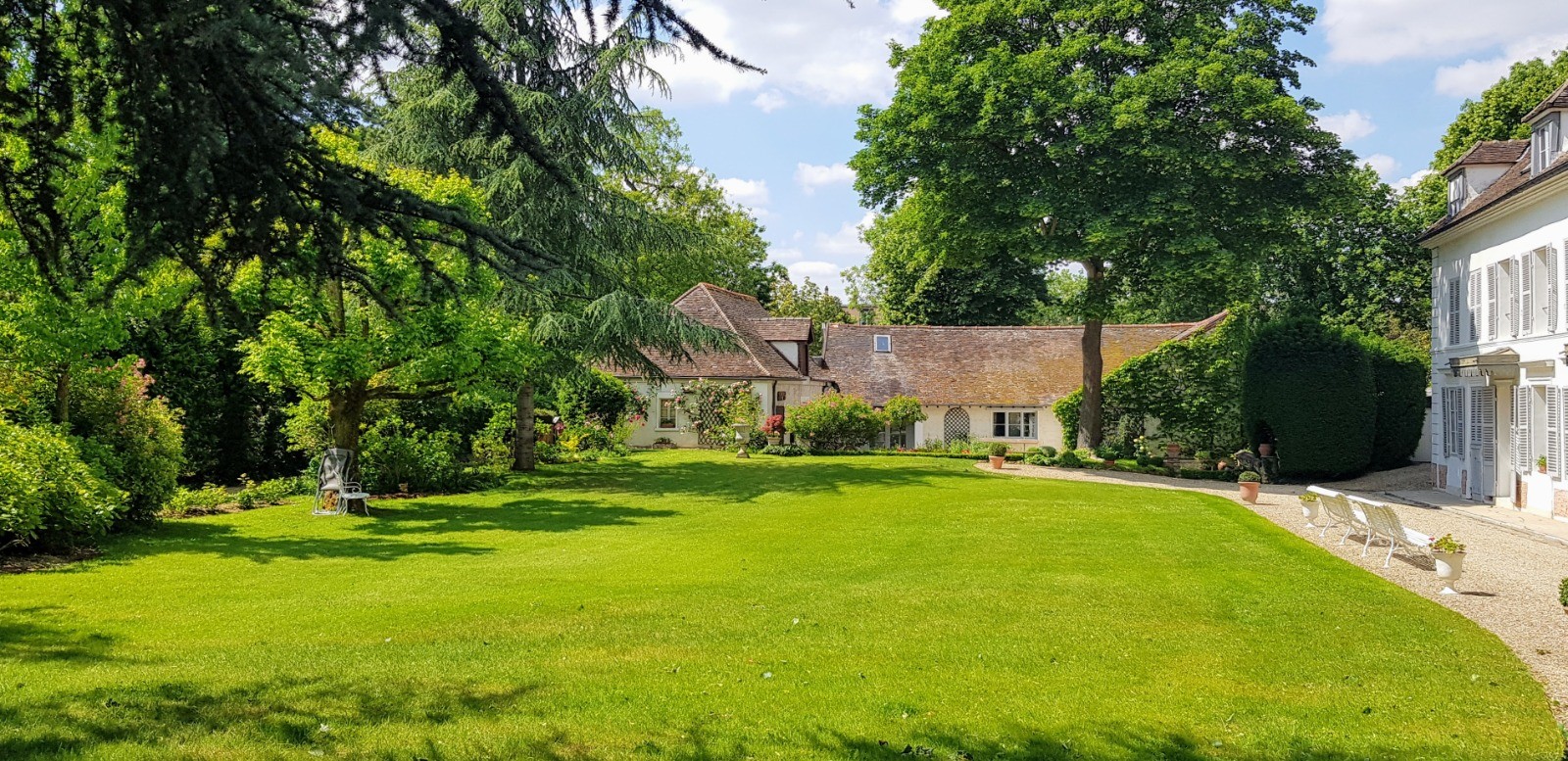
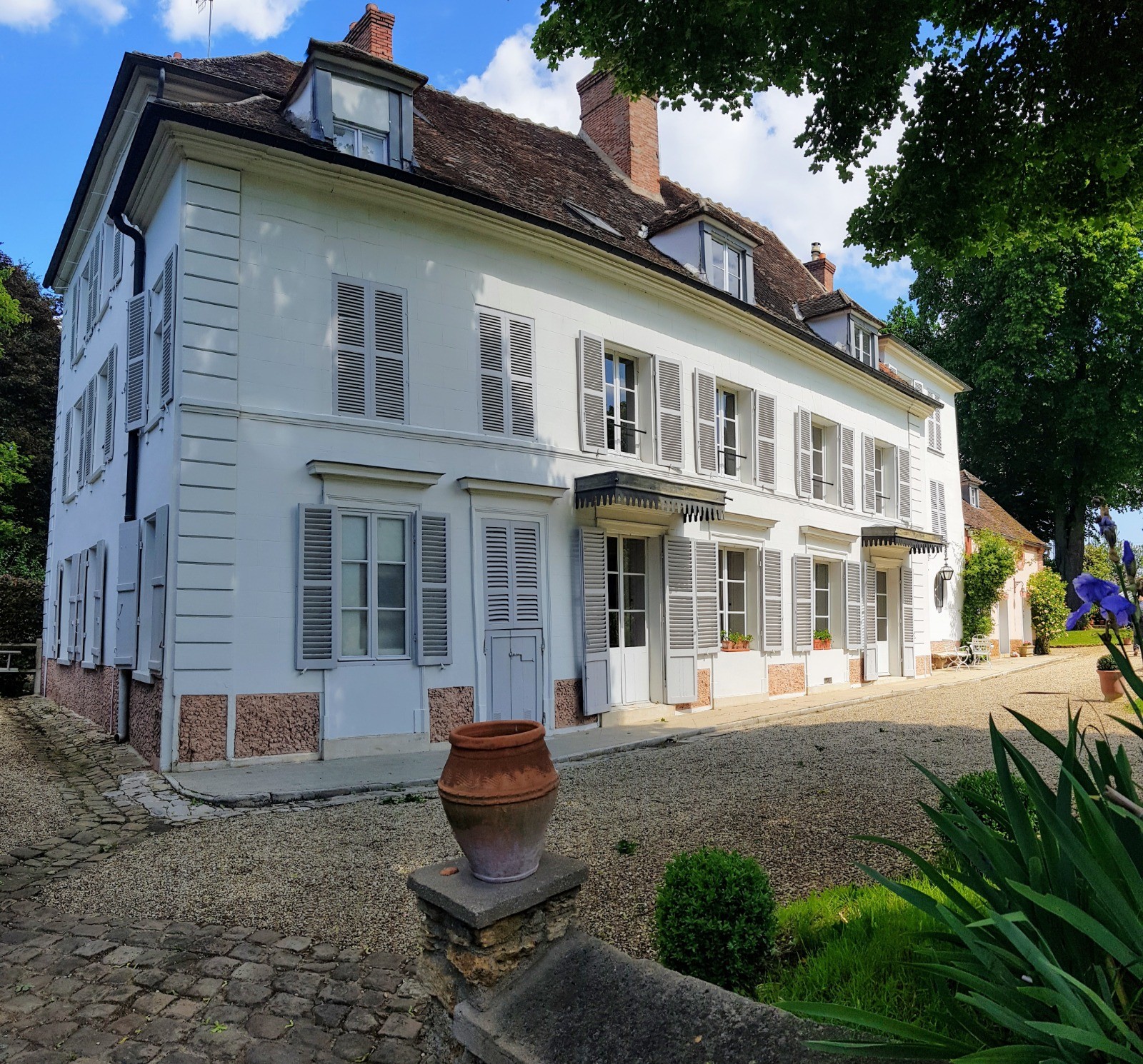
Superbe rando pleine de petits coins secrets à découvrir même pour des résidents du coin.
 Actions
29.7 km

+111 m
/-116 m
06:06

Cliquez pour activer


Cliquez et déplacez la souris sur le profil pour analyser un tronçon (2 doigts sur mobile)
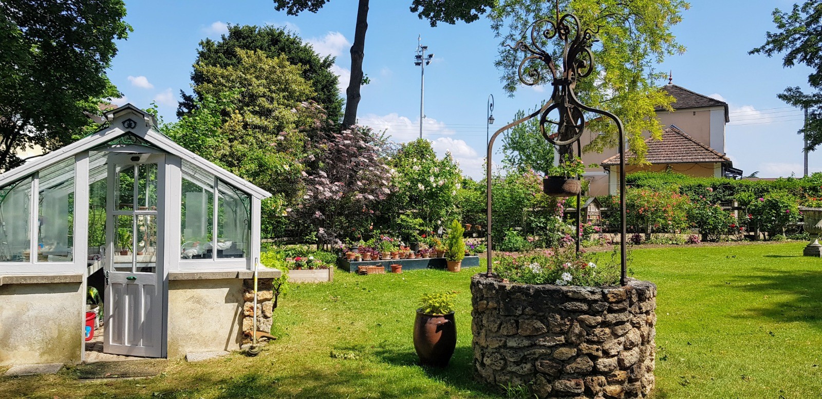
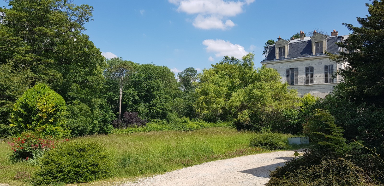
 Photos
Commentaires
Pas encore de commentaire, connectez-vous pour en ajouter un.
Connectez-vous pour ajouter un commentaire
Longueur et nombre de points

29.75 km

6052 pts
Denivelé et altitude
Calculés avec un seuil de 10 mètres et un lissage sur 5 points

110 m

116 m

159 m

81 m

121 m
Date et durée

14 mai 2020
08:55

14 mai 2020
16:13

07:18:05

06:06:33

01:11:32
Vitesses et denivelés horaires

4.9 km/h
Détail »

7.9 km/h
au km 14.2

154 m/h
0h10m36s

-219 m/h
0h05m37s
| km | Temps | Vitesse | Pause |
|---|
| 1 | 11'28" | 5.2 km/h | |
| 2 | 11'04" | 5.4 km/h | |
| 3 | 10'56" | 5.5 km/h | |
| 4 | 12'39" | 4.7 km/h | |
| 5 | 15'10" | 4 km/h | |
| 6 | 11'05" | 5.4 km/h | |
| 7 | 11'33" | 5.2 km/h | |
| 8 | 10'53" | 5.5 km/h | |
| 9 | 12'59" | 4.6 km/h | |
| 10 | 11'30" | 5.2 km/h | |
| 11 | 12'07" | 5 km/h | 11'27" |
| 12 | 11'12" | 5.4 km/h | |
| 13 | 11'20" | 5.3 km/h | |
| 14 | 10'07" | 5.9 km/h | |
| 15 | 10'49" | 5.6 km/h | |
| 16 | 11'17" | 5.3 km/h | |
| 17 | 11'14" | 5.3 km/h | |
| 18 | 13'32" | 4.4 km/h | |
| 19 | 12'22" | 4.8 km/h | 51'25" |
| 20 | 12'59" | 4.6 km/h | |
| 21 | 12'28" | 4.8 km/h | |
| 22 | 12'19" | 4.9 km/h | |
| 23 | 13'40" | 4.4 km/h | |
| 24 | 13'54" | 4.3 km/h | |
| 25 | 15'53" | 3.8 km/h | 08'40" |
| 26 | 14'00" | 4.3 km/h | |
| 27 | 14'27" | 4.2 km/h | |
| 28 | 12'05" | 5 km/h | |
| 29 | 12'45" | 4.7 km/h | |
Dépense calorique (estimation)

470 Cal
77 Cal/h
Plus

Affichée 341 fois et téléchargée 38 fois depuis le 14.05.20 17:43
KME
31.2 kilomètres effort
Carte + Profil [Afficher un aperçu]
<iframe src="https://www.visugpx.com/s0IZZLUVB6?iframe" allowfullscreen style="border: 0;width: 100%; height: 540px;" loading="lazy" scrolling="no"></iframe>
Carte uniquement [Afficher un aperçu]
<iframe src="https://www.visugpx.com/s0IZZLUVB6?iframe&maponly" allowfullscreen style="border: 0;width: 100%; height: 540px;" loading="lazy" scrolling="no"></iframe>


 ForumsToposLes plus belles randosSegments
 Offre Premium
 Connexion


 73
73 101
101 18 [Légende]


