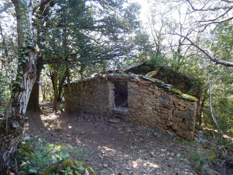
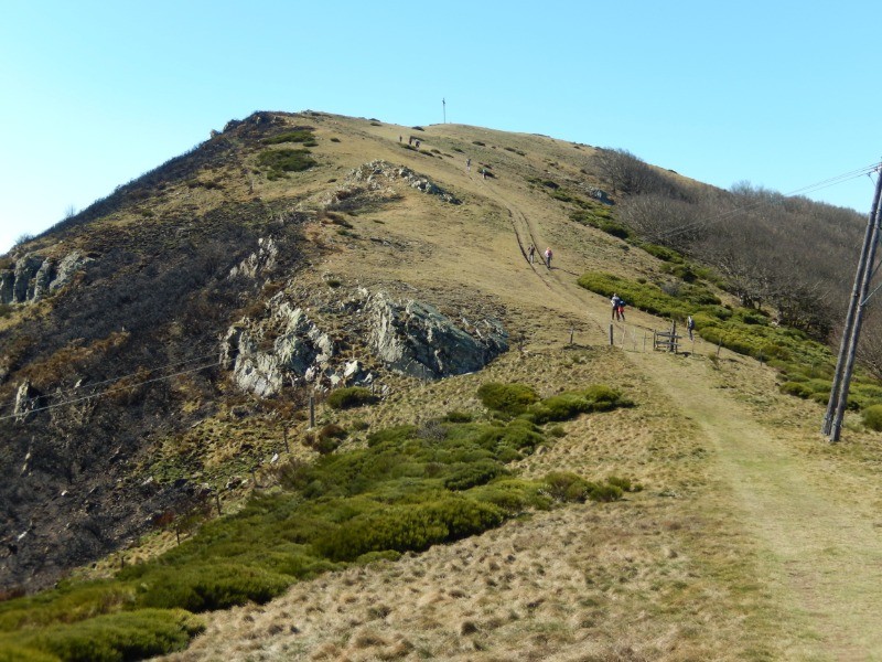
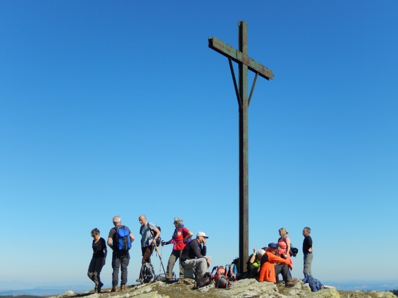
Au départ de St Géniès de Varensal, une belle rando plutôt difficile, avec dès le départ une montée assez raide jusqu'au sommet du Marcou, avec un magnifique panorama à 360°. puis une descente hors sentier jusqu'au hameau de Albès, suivie de deux km sur route jusqu'au hameau du Fau.
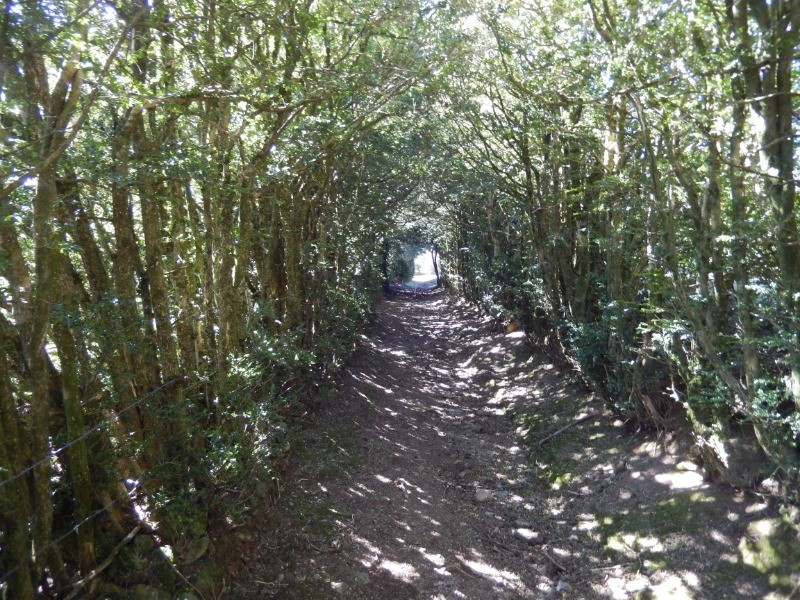
Final difficile jusqu'au point de départ, par des sentiers rocailleux non balisés et peu utilisés, mais avec de magnifiques paysages.
 Actions
14.8 km

+857 m
/-875 m
05:19

Cliquez pour activer


Cliquez et déplacez la souris sur le profil pour analyser un tronçon (2 doigts sur mobile)
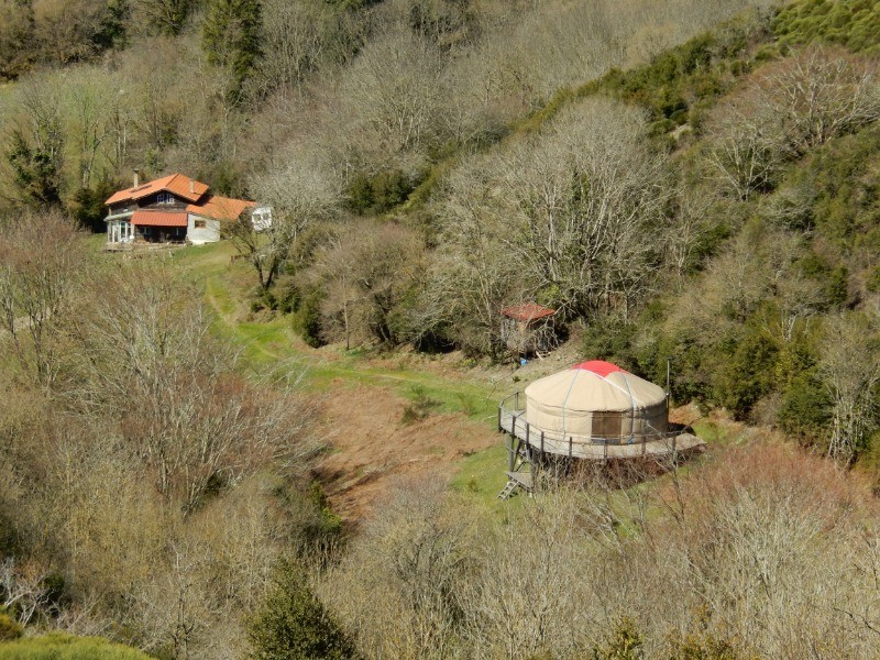
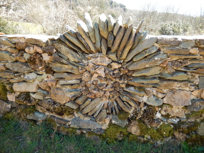
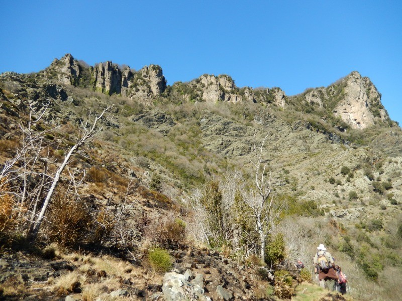
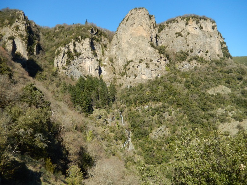
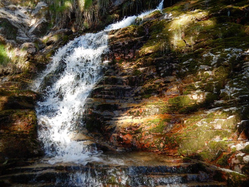
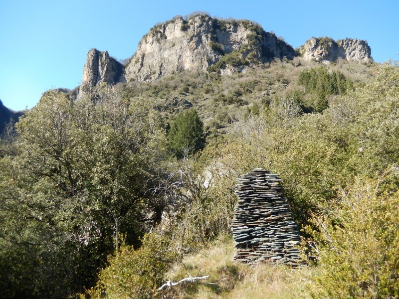
 Photos
Commentaires
Pas encore de commentaire, connectez-vous pour en ajouter un.
Connectez-vous pour ajouter un commentaire
Longueur et nombre de points

14.76 km

1823 pts
Denivelé et altitude
Calculés avec un seuil de 10 mètres et un lissage sur 5 points

856 m

876 m

1087 m

381 m

717 m
Date et durée

21 mars 2019
09:06

21 mars 2019
16:28

07:21:50

05:19:48

02:02:02
Vitesses et denivelés horaires

2.8 km/h
Détail »

5.3 km/h
au km 8.2

367 m/h
2h16m07s

-353 m/h
2h23m17s
| km | Temps | Vitesse | Pause |
|---|
| 1 | 26'54" | 2.2 km/h | |
| 2 | 27'50" | 2.2 km/h | 10'44" |
| 3 | 19'24" | 3.1 km/h | 18'20" |
| 4 | 22'30" | 2.7 km/h | |
| 5 | 26'30" | 2.3 km/h | 14'08" |
| 6 | 21'54" | 2.7 km/h | 38'57" |
| 7 | 14'42" | 4.1 km/h | 04'20" |
| 8 | 12'53" | 4.7 km/h | |
| 9 | 14'47" | 4.1 km/h | 03'22" |
| 10 | 20'10" | 3 km/h | 05'38" |
| 11 | 29'37" | 2 km/h | 04'46" |
| 12 | 27'32" | 2.2 km/h | 08'21" |
| 13 | 28'39" | 2.1 km/h | 09'28" |
| 14 | 16'00" | 3.8 km/h | 03'58" |
Dépense calorique (estimation)

711 Cal
133 Cal/h
Plus

Affichée 933 fois et téléchargée 68 fois depuis le 07.04.20 15:25
KME
26.2 kilomètres effort
Carte + Profil [Afficher un aperçu]
<iframe src="https://www.visugpx.com/rHbvL1VEoK?iframe" allowfullscreen style="border: 0;width: 100%; height: 540px;" loading="lazy" scrolling="no"></iframe>
Carte uniquement [Afficher un aperçu]
<iframe src="https://www.visugpx.com/rHbvL1VEoK?iframe&maponly" allowfullscreen style="border: 0;width: 100%; height: 540px;" loading="lazy" scrolling="no"></iframe>

 ForumsToposLes plus belles randosSegments
 Offre Premium
 Connexion


 87
87 192
192 115 [Légende]


