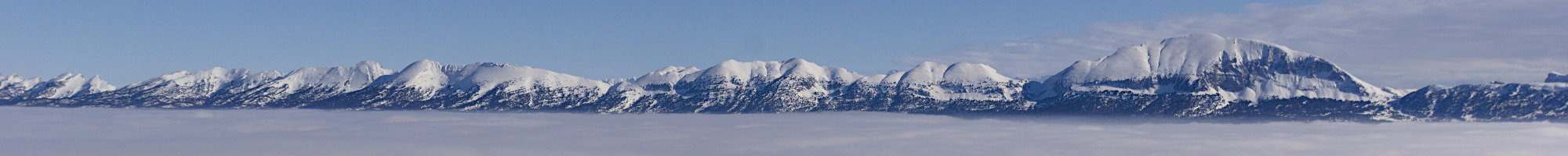
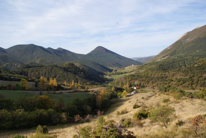
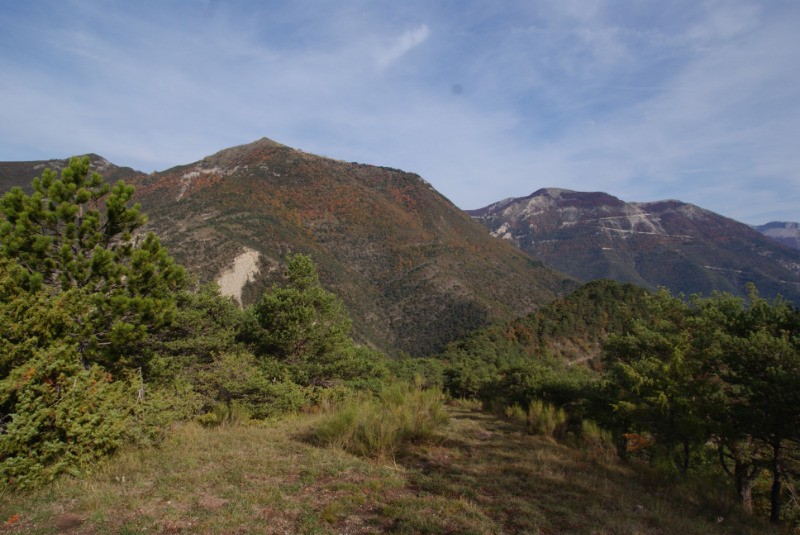
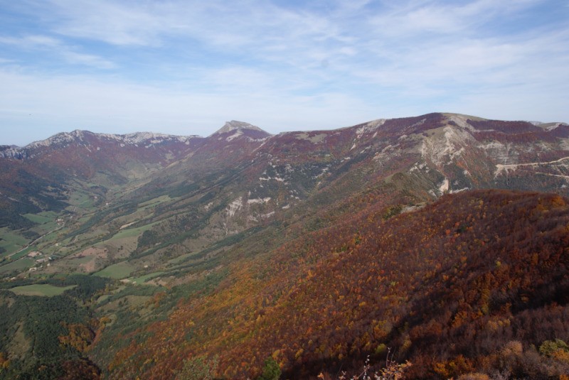
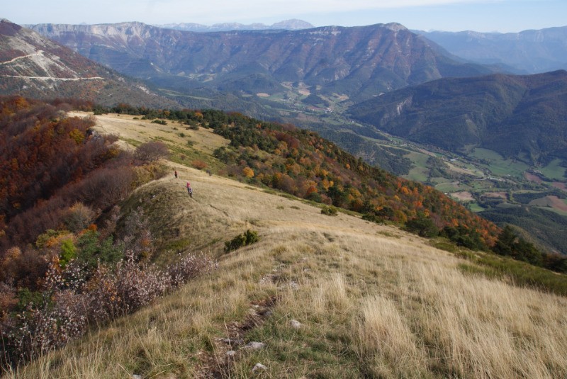
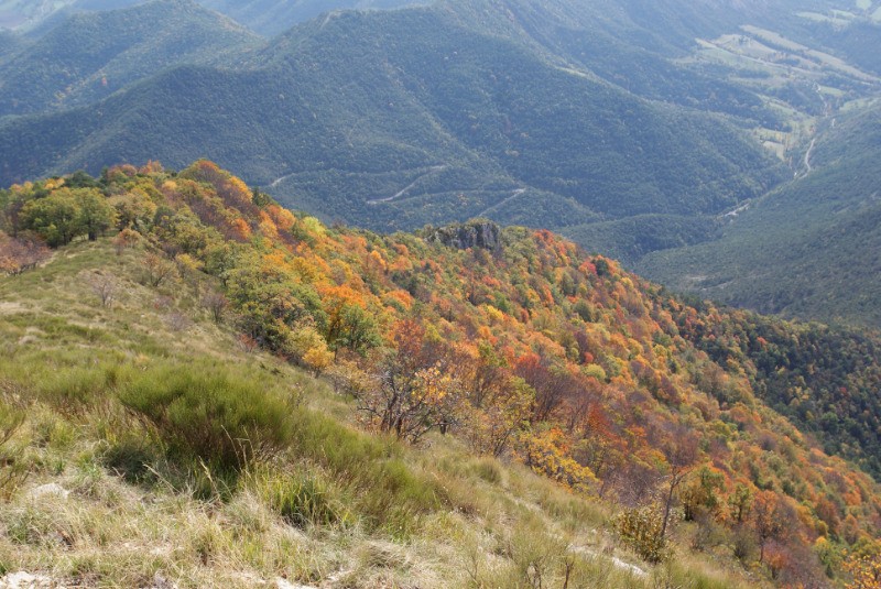
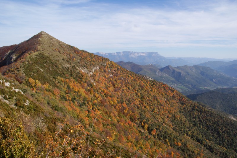
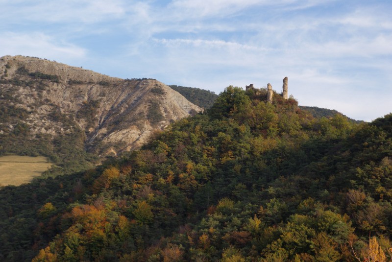
Très belle randonnée en crêtes avec de magnifiques vues sur le sud Vercors et le Diois.
 Actions
12.7 km

+982 m
/-988 m
04:02

Cliquez pour activer


Cliquez et déplacez la souris sur le profil pour analyser un tronçon (2 doigts sur mobile)
Détails
Vous trouverez un topo très complet de cette randonnée à l'adresse :
www.martinpierre.fr/pages/randonnees-d-un-jour/europe/france-rhone-alpes/rhone-alpes-le-bec-pointu-par-l-escoulin.html.
 Photos
Commentaires
Pas encore de commentaire, connectez-vous pour en ajouter un.
Connectez-vous pour ajouter un commentaire
Longueur et nombre de points

12.74 km

1241 pts
Denivelé et altitude
Calculés avec un seuil de 10 mètres et un lissage sur 5 points

982 m

988 m

1332 m

509 m

894 m
Date et durée

27 octobre 2019
09:13

27 octobre 2019
16:10

06:56:58

04:02:28

02:54:30
Vitesses et denivelés horaires

3.2 km/h
Détail »

5.7 km/h
au km 11.3

466 m/h
2h00m02s

-568 m/h
1h38m44s
| km | Temps | Vitesse | Pause |
|---|
| 1 | 12'42" | 4.7 km/h | 03'48" |
| 2 | 22'32" | 2.7 km/h | 09'01" |
| 3 | 17'58" | 3.3 km/h | 04'52" |
| 4 | 16'21" | 3.7 km/h | 10'29" |
| 5 | 21'11" | 2.8 km/h | 11'14" |
| 6 | 31'12" | 1.9 km/h | 16'55" |
| 7 | 18'04" | 3.3 km/h | |
| 8 | 28'02" | 2.1 km/h | 90'11" |
| 9 | 16'13" | 3.7 km/h | 04'37" |
| 10 | 19'12" | 3.1 km/h | 11'51" |
| 11 | 13'58" | 4.3 km/h | 08'34" |
| 12 | 12'07" | 5 km/h | 02'58" |
Dépense calorique (estimation)

822 Cal
203 Cal/h
Plus

Affichée 1916 fois et téléchargée 88 fois depuis le 27.10.19 21:28
KME
25.9 kilomètres effort
Carte + Profil [Afficher un aperçu]
<iframe src="https://www.visugpx.com/r68YxTuCQ8?iframe" allowfullscreen style="border: 0;width: 100%; height: 540px;" loading="lazy" scrolling="no"></iframe>
Carte uniquement [Afficher un aperçu]
<iframe src="https://www.visugpx.com/r68YxTuCQ8?iframe&maponly" allowfullscreen style="border: 0;width: 100%; height: 540px;" loading="lazy" scrolling="no"></iframe>


 ForumsToposLes plus belles randosSegments
 Offre Premium
 Connexion


 96
96 226
226 119 [Légende]


