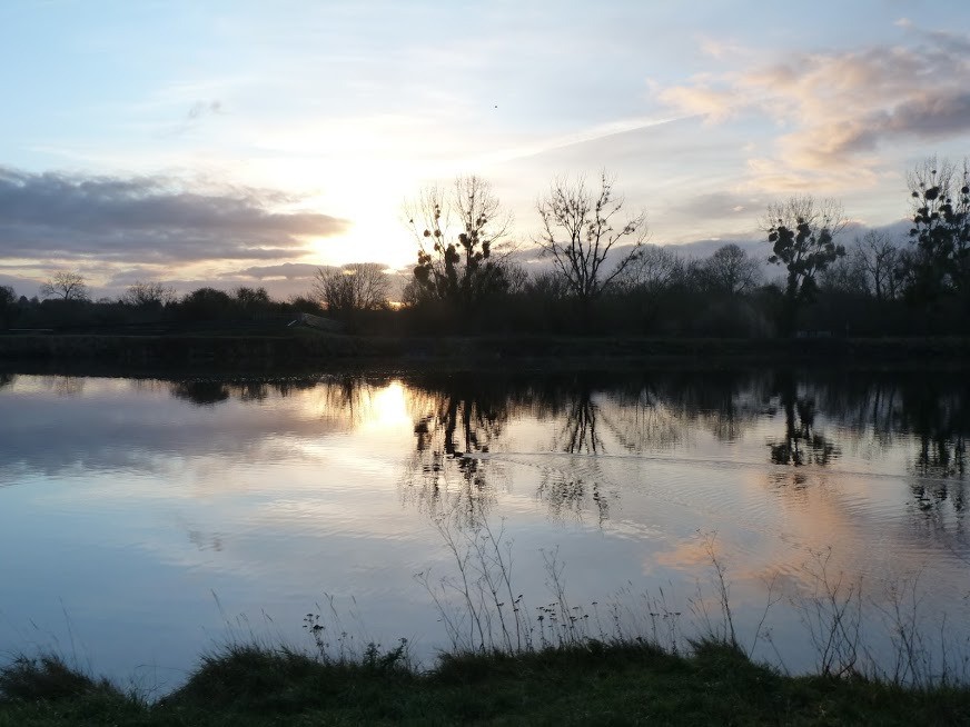
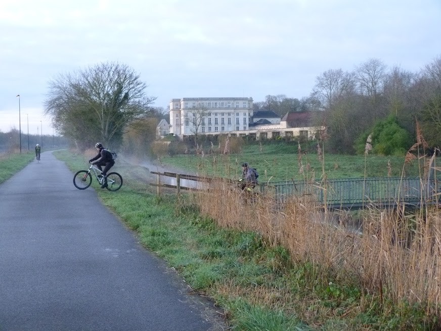
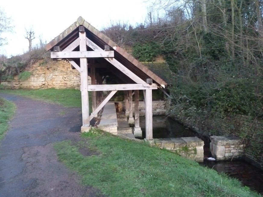
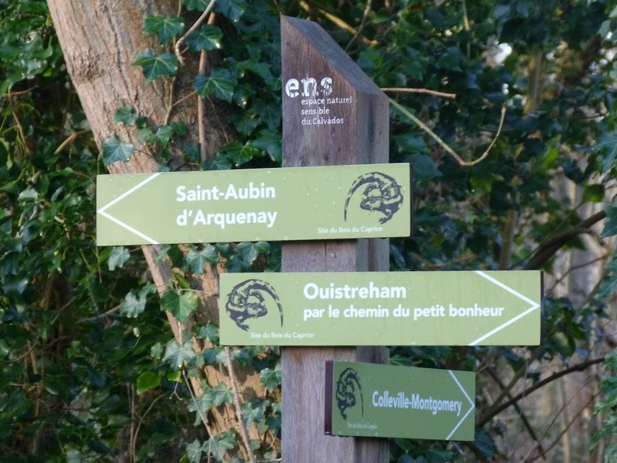
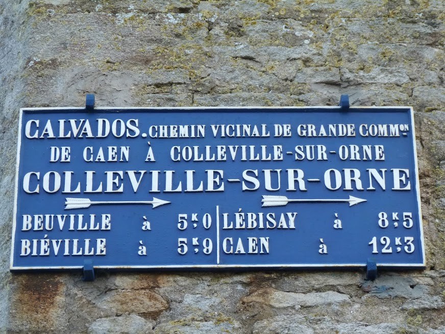
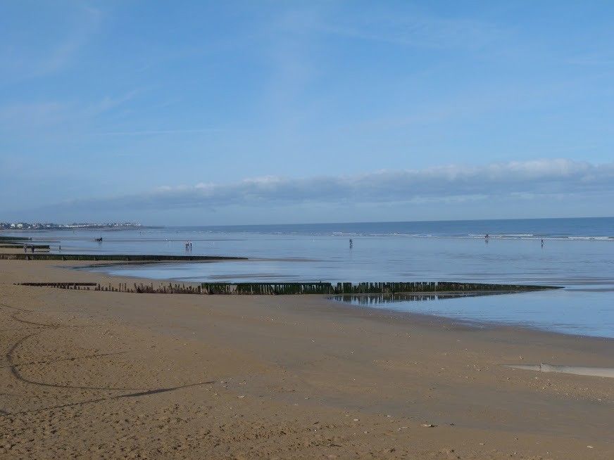
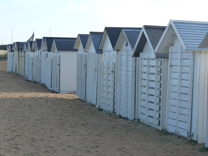
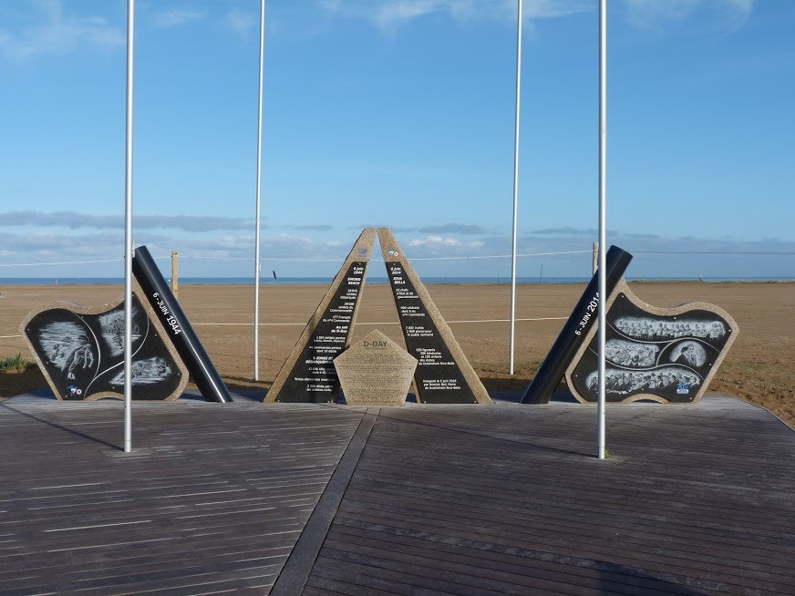
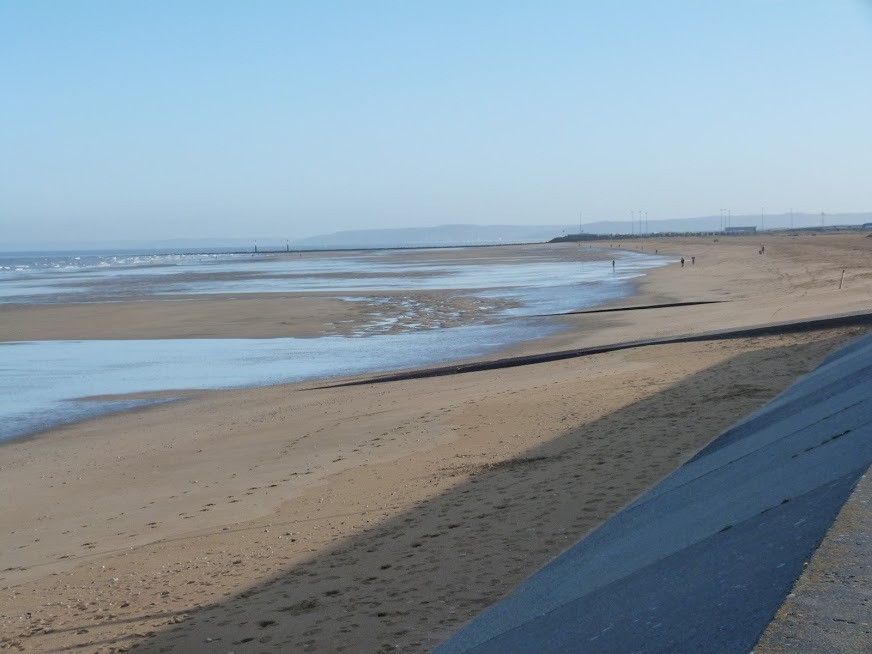
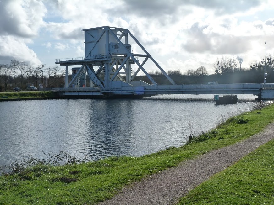
Randonnée pédestre de 19 km au départ de Bénouville.Découverte de Saint-Aubin d'Arquenay, Colleville-Montgomery et Ouistreham. Commerces alimentaires sur le parcours. Retour par la piste cyclable le long du canal de l'Orne.
 Actions
18.5 km

+99 m
/-100 m
03:48

Cliquez pour activer


Cliquez et déplacez la souris sur le profil pour analyser un tronçon (2 doigts sur mobile)
 Photos
Commentaires
Pas encore de commentaire, connectez-vous pour en ajouter un.
Connectez-vous pour ajouter un commentaire
Longueur et nombre de points

18.53 km

2427 pts
Denivelé et altitude
Calculés avec un seuil de 10 mètres et un lissage sur 5 points

99 m

101 m

41 m

-9 m

11 m
Date et durée

18 janvier 2020
09:03

18 janvier 2020
13:39

04:35:40

03:48:06

00:47:34
Vitesses et denivelés horaires

4.9 km/h
Détail »

5.7 km/h
au km 5.9

183 m/h
0h14m59s

-218 m/h
0h12m40s
| km | Temps | Vitesse | Pause |
|---|
| 1 | 12'22" | 4.9 km/h | |
| 2 | 11'42" | 5.1 km/h | |
| 3 | 11'56" | 5 km/h | |
| 4 | 11'33" | 5.2 km/h | |
| 5 | 12'00" | 5 km/h | |
| 6 | 14'36" | 4.1 km/h | |
| 7 | 12'17" | 4.9 km/h | |
| 8 | 13'47" | 4.4 km/h | 11'06" |
| 9 | 13'04" | 4.6 km/h | |
| 10 | 12'57" | 4.6 km/h | 01'42" |
| 11 | 11'58" | 5 km/h | |
| 12 | 11'43" | 5.1 km/h | |
| 13 | 12'31" | 4.8 km/h | 32'40" |
| 14 | 12'37" | 4.8 km/h | |
| 15 | 11'44" | 5.1 km/h | |
| 16 | 11'39" | 5.2 km/h | |
| 17 | 11'27" | 5.2 km/h | |
| 18 | 11'39" | 5.1 km/h | |
Dépense calorique (estimation)

406 Cal
107 Cal/h
Plus

Affichée 1063 fois et téléchargée 96 fois depuis le 07.04.20 15:25
KME
19.9 kilomètres effort
Carte + Profil [Afficher un aperçu]
<iframe src="https://www.visugpx.com/qzfHx32wuj?iframe" allowfullscreen style="border: 0;width: 100%; height: 540px;" loading="lazy" scrolling="no"></iframe>
Carte uniquement [Afficher un aperçu]
<iframe src="https://www.visugpx.com/qzfHx32wuj?iframe&maponly" allowfullscreen style="border: 0;width: 100%; height: 540px;" loading="lazy" scrolling="no"></iframe>

 ForumsToposLes plus belles randosSegments
 Offre Premium
 Connexion


 47
47 63
63 10 [Légende]


