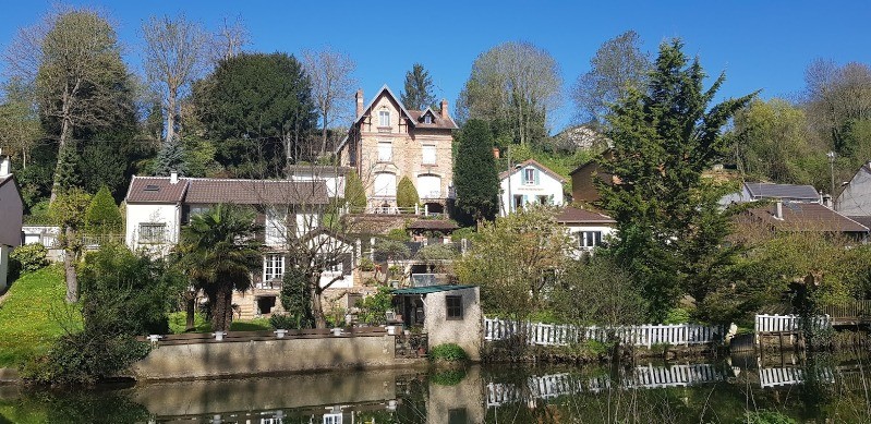
Sortie effectuée en Avril avec le Rando Club Yerrois
Tracée et menée par Jean Louis
 Actions
22.5 km

+63 m
/-73 m
05:02

Cliquez pour activer


Cliquez et déplacez la souris sur le profil pour analyser un tronçon (2 doigts sur mobile)
Détails
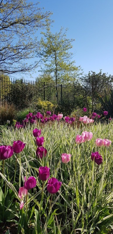
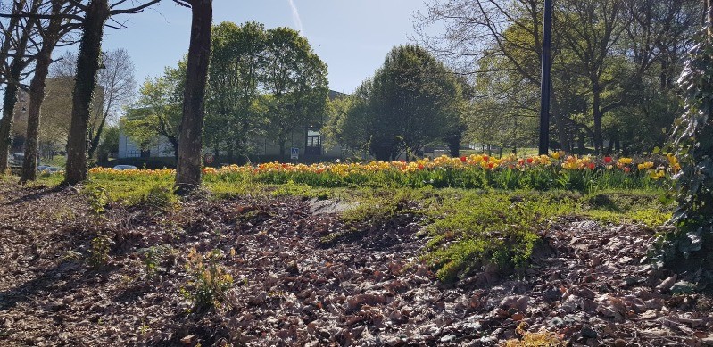
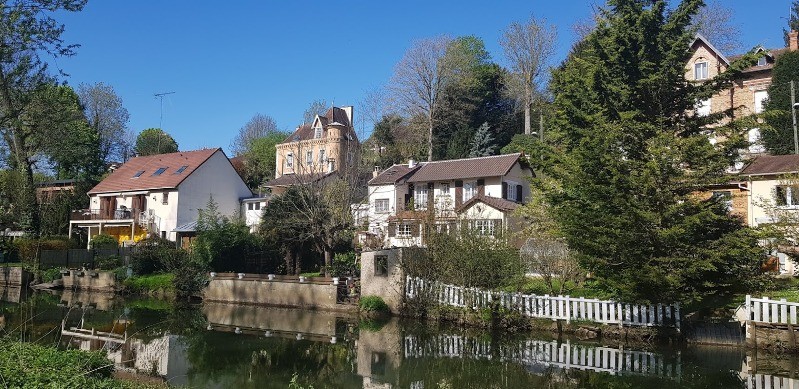
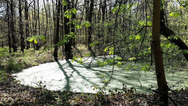
Parcours ravissant à cette époque de l'année - Sénart un peu boueuse en revanche
relive
youtu.be/5huBHqfS2wM Photos
Commentaires
Pas encore de commentaire, connectez-vous pour en ajouter un.
Connectez-vous pour ajouter un commentaire
Longueur et nombre de points

22.5 km

4655 pts
Denivelé et altitude
Calculés avec un seuil de 10 mètres et un lissage sur 5 points

62 m

74 m

147 m

84 m

114 m
Date et durée

18 avril 2018
09:00

18 avril 2018
15:34

06:33:29

05:02:47

01:30:42
Vitesses et denivelés horaires

4.5 km/h
Détail »

9.2 km/h
au km 20.6

273 m/h
0h08m36s

-471 m/h
0h05m08s
| km | Temps | Vitesse | Pause |
|---|
| 1 | 14'08" | 4.2 km/h | 01'48" |
| 2 | 12'39" | 4.7 km/h | |
| 3 | 14'26" | 4.2 km/h | |
| 4 | 12'42" | 4.7 km/h | |
| 5 | 13'12" | 4.5 km/h | |
| 6 | 12'37" | 4.8 km/h | 15'04" |
| 7 | 13'19" | 4.5 km/h | 02'16" |
| 8 | 12'56" | 4.6 km/h | |
| 9 | 12'09" | 4.9 km/h | |
| 10 | 13'22" | 4.5 km/h | 09'59" |
| 11 | 12'32" | 4.8 km/h | |
| 12 | 12'31" | 4.8 km/h | |
| 13 | 16'53" | 3.6 km/h | |
| 14 | 12'48" | 4.7 km/h | 50'41" |
| 15 | 13'15" | 4.5 km/h | |
| 16 | 13'41" | 4.4 km/h | 02'30" |
| 17 | 16'25" | 3.7 km/h | |
| 18 | 13'02" | 4.6 km/h | 08'24" |
| 19 | 13'37" | 4.4 km/h | |
| 20 | 13'51" | 4.3 km/h | |
| 21 | 13'02" | 4.6 km/h | |
| 22 | 12'39" | 4.7 km/h | |
Dépense calorique (estimation)

322 Cal
64 Cal/h
Plus

Affichée 356 fois et téléchargée 26 fois depuis le 07.04.20 15:25
KME
23.4 kilomètres effort
Carte + Profil [Afficher un aperçu]
<iframe src="https://www.visugpx.com/qlhjPNZXiS?iframe" allowfullscreen style="border: 0;width: 100%; height: 540px;" loading="lazy" scrolling="no"></iframe>
Carte uniquement [Afficher un aperçu]
<iframe src="https://www.visugpx.com/qlhjPNZXiS?iframe&maponly" allowfullscreen style="border: 0;width: 100%; height: 540px;" loading="lazy" scrolling="no"></iframe>

 ForumsToposLes plus belles randosSegments
 Offre Premium
 Connexion


 57
57 78
78 14 [Légende]


