Rando en boucle :
 Actions
11.3 km

+459 m
/-549 m
02:46

Cliquez pour activer


Cliquez et déplacez la souris sur le profil pour analyser un tronçon (2 doigts sur mobile)
Détails
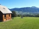
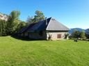
Départ : Arith (pk de Greson) 875m
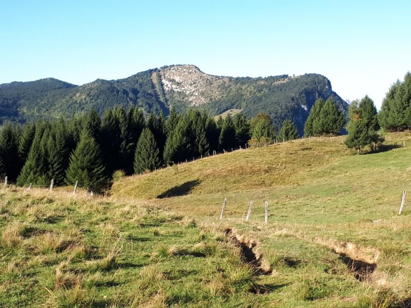
Montée : Par Prépoulain, le Chalet de la Plate (1300m), Chalets Reguéras (1370m), l'Autel du Curé.
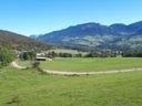
Descente : Par la piste forestière jusqu'à la Cochette, puis les Granges de Montorset.
PS : L'autel du Curé n'est malheureusement pas facile à trouver (perdu dans les bois et sans indication). Curiosité du secteur où des inscriptions sont gravées sur un rocher qui servait d'autel au curé lors des messes 'clandestines' durant la révolution française.
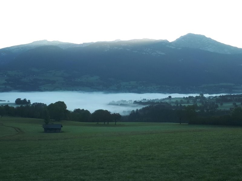
 Photos
Commentaires
Pas encore de commentaire, connectez-vous pour en ajouter un.
Connectez-vous pour ajouter un commentaire
Longueur et nombre de points

11.31 km

3122 pts
Denivelé et altitude
Calculés avec un seuil de 10 mètres et un lissage sur 5 points

458 m

550 m

1382 m

833 m

1169 m
Date et durée

29 septembre 2019
08:25

29 septembre 2019
11:47

03:22:49

02:46:12

00:36:37
Vitesses et denivelés horaires

4.1 km/h
Détail »

6.2 km/h
au km 10.9

398 m/h
1h07m39s

-434 m/h
1h15m46s
| km | Temps | Vitesse | Pause |
|---|
| 1 | 18'22" | 3.3 km/h | 01'34" |
| 2 | 15'25" | 3.9 km/h | |
| 3 | 15'53" | 3.8 km/h | |
| 4 | 15'01" | 4 km/h | 03'42" |
| 5 | 14'51" | 4 km/h | 02'51" |
| 6 | 15'11" | 4 km/h | |
| 7 | 12'08" | 4.9 km/h | |
| 8 | 19'45" | 3 km/h | |
| 9 | 12'51" | 4.7 km/h | 28'30" |
| 10 | 11'26" | 5.3 km/h | |
| 11 | 11'33" | 5.2 km/h | |
Dépense calorique (estimation)

613 Cal
221 Cal/h
Plus

Affichée 781 fois et téléchargée 61 fois depuis le 07.04.20 15:25
KME
17.7 kilomètres effort
Carte + Profil [Afficher un aperçu]
<iframe src="https://www.visugpx.com/qTEChTkWsG?iframe" allowfullscreen style="border: 0;width: 100%; height: 540px;" loading="lazy" scrolling="no"></iframe>
Carte uniquement [Afficher un aperçu]
<iframe src="https://www.visugpx.com/qTEChTkWsG?iframe&maponly" allowfullscreen style="border: 0;width: 100%; height: 540px;" loading="lazy" scrolling="no"></iframe>


 ForumsToposLes plus belles randosSegments
 Offre Premium
 Connexion


 54
54 109
109 49 [Légende]


