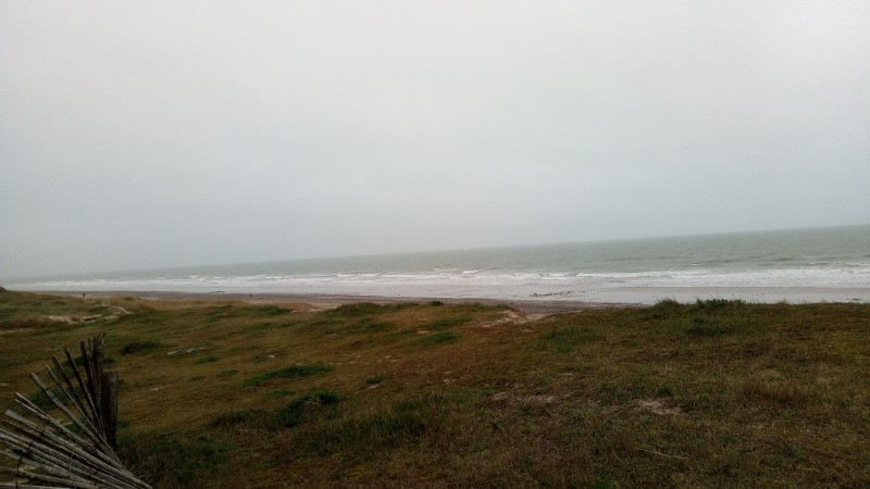
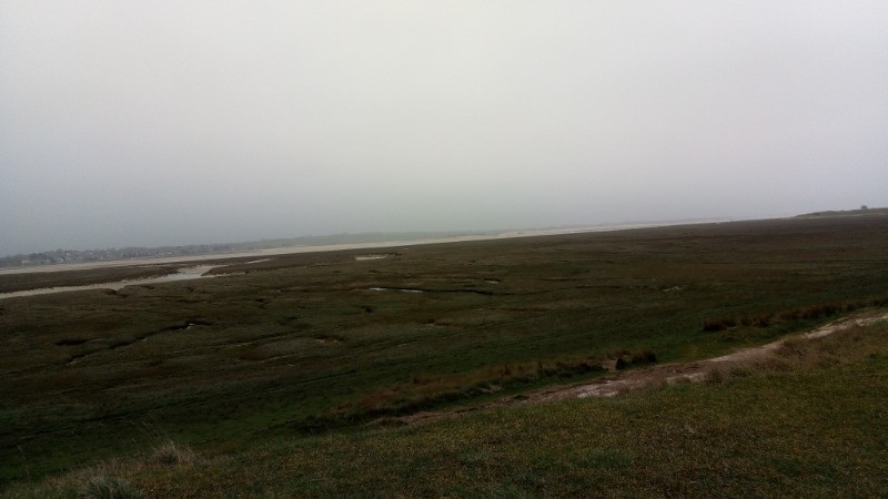
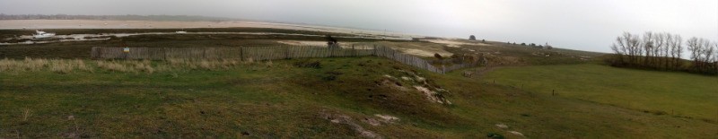
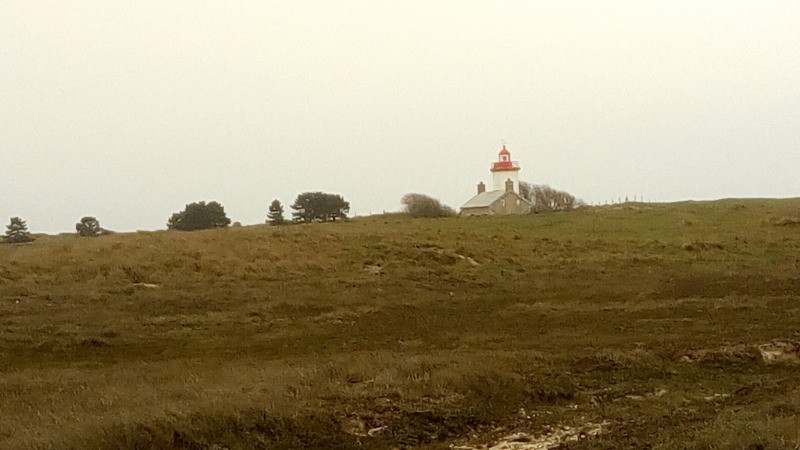
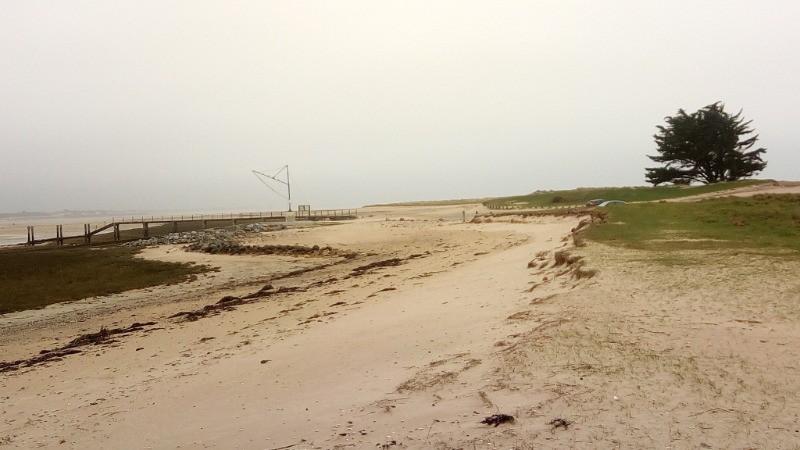
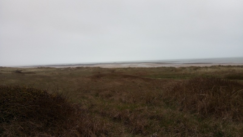
Sortie tour de la pointe d'Agon Coutainville à marée basse. Du vent de face parfois, d'autant plus dérangeant quand on marche dans le sable. Ah vraiment Olivier, tu nous as coupé les pattes ;)
 Actions
17.1 km

+187 m
/-182 m
02:59

Cliquez pour activer


Cliquez et déplacez la souris sur le profil pour analyser un tronçon (2 doigts sur mobile)
Détails
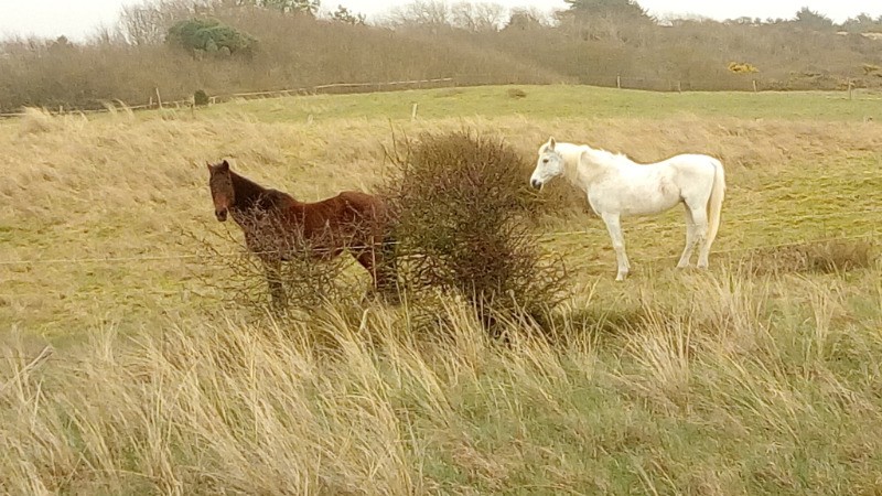
Ceci dit, on sait maintenant comment les lapins font leur réserve de bois pour l'hiver !
 Photos
Commentaires
Pas encore de commentaire, connectez-vous pour en ajouter un.
Connectez-vous pour ajouter un commentaire
Longueur et nombre de points

17.1 km

1544 pts
Denivelé et altitude
Calculés avec un seuil de 10 mètres et un lissage sur 5 points

186 m

183 m

37 m

-8 m

5 m
Date et durée

18 mars 2017
12:57

18 mars 2017
16:01

03:03:42

02:59:59

00:03:43
Vitesses et denivelés horaires

5.7 km/h
Détail »

9.7 km/h
au km 0.9

289 m/h
0h20m10s

-301 m/h
0h21m22s
| km | Temps | Vitesse | Pause |
|---|
| 1 | 09'50" | 6.1 km/h | |
| 2 | 10'20" | 5.8 km/h | |
| 3 | 09'27" | 6.4 km/h | |
| 4 | 11'28" | 5.2 km/h | |
| 5 | 09'36" | 6.3 km/h | |
| 6 | 10'29" | 5.7 km/h | |
| 7 | 09'50" | 6.1 km/h | |
| 8 | 09'42" | 6.2 km/h | |
| 9 | 10'07" | 5.9 km/h | 02'27" |
| 10 | 09'55" | 6 km/h | |
| 11 | 10'21" | 5.8 km/h | |
| 12 | 10'25" | 5.8 km/h | 01'16" |
| 13 | 13'14" | 4.5 km/h | |
| 14 | 12'44" | 4.7 km/h | |
| 15 | 11'50" | 5.1 km/h | |
| 16 | 09'57" | 6 km/h | |
| 17 | 09'49" | 6.1 km/h | |
Dépense calorique (estimation)

551 Cal
184 Cal/h
Plus

Affichée 1312 fois et téléchargée 124 fois depuis le 07.04.20 15:25
KME
19.6 kilomètres effort
Carte + Profil [Afficher un aperçu]
<iframe src="https://www.visugpx.com/paokDagHyV?iframe" allowfullscreen style="border: 0;width: 100%; height: 540px;" loading="lazy" scrolling="no"></iframe>
Carte uniquement [Afficher un aperçu]
<iframe src="https://www.visugpx.com/paokDagHyV?iframe&maponly" allowfullscreen style="border: 0;width: 100%; height: 540px;" loading="lazy" scrolling="no"></iframe>

 ForumsToposLes plus belles randosSegments
 Offre Premium
 Connexion


 43
43 61
61 12 [Légende]


